A plan of the battery and redout on the east side of the harbour of Halifax (Dartmouth)

fort clarence
fort clarence

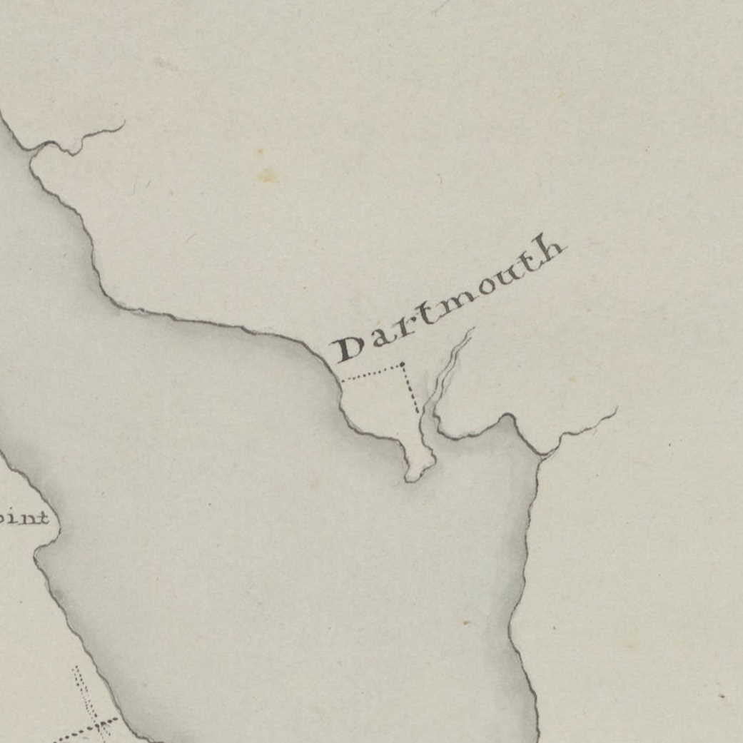
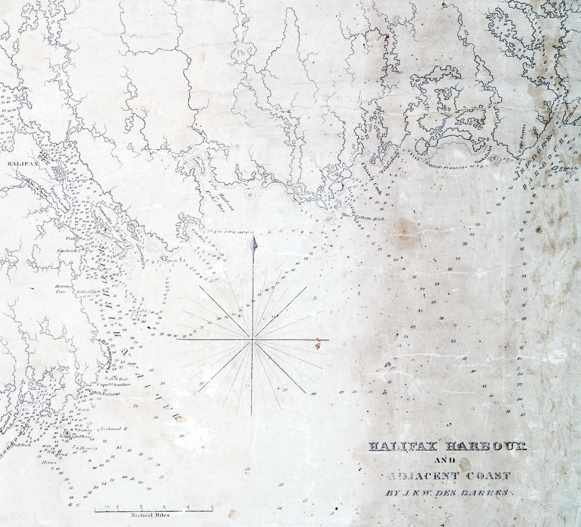
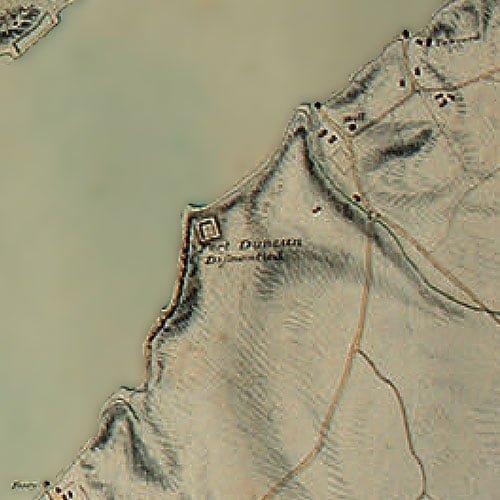
This is likely Fort Clarence, though from the shape of the shoreline and the profile of the fort itself it could also be what was once Fort Duncan, dismantled by 1808, which today would be located underneath the MacDonald bridge at the bottom of Lyle Street.

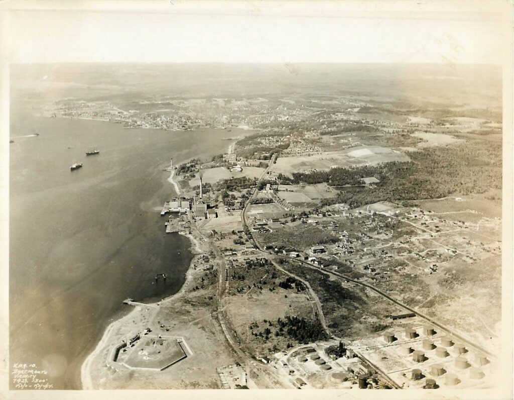
Fort Clarence at left, later the Imperoyal refinery, Fort Duncan at right.

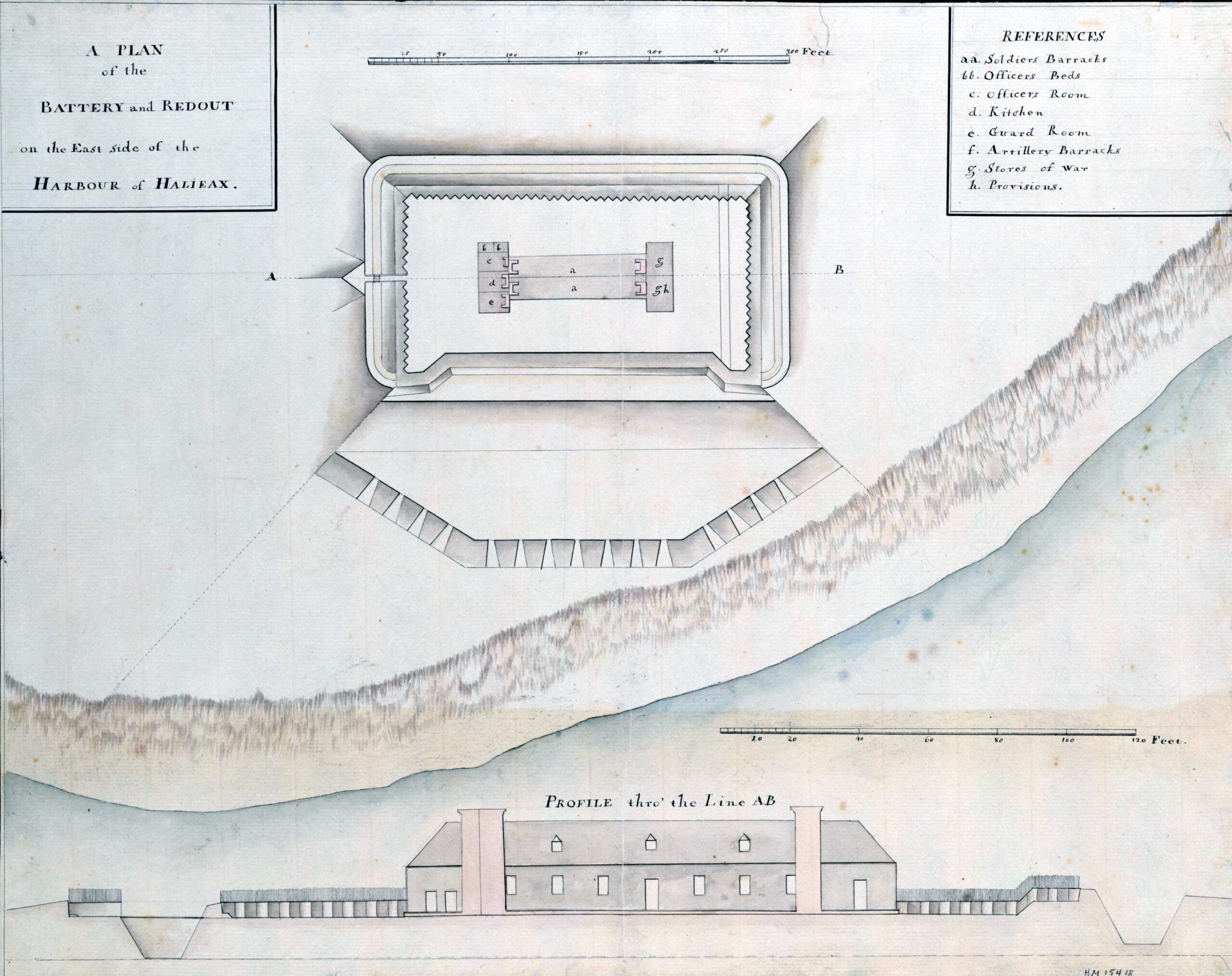
“A plan of the battery and redout on the east side of the harbour of Halifax” >1749. https://hdl.huntington.org/digital/collection/p15150coll4/id/16120

Metropolitan map and street guide Halifax and Dartmouth, Nova Scotia

dartmouth map

Here you can see the beltway as political actor, meant to separate what was once the Town of Dartmouth from the communities it had just annexed, Westphal, Woodlawn and Woodside, to become the City of Dartmouth. Tacoma Drive, Penhorn Drive and Oakwood are seen straddling the highway, a nascent street grid was connecting the communities until it wasn’t.

dartmouth map

Near the top of the map “The Avenue” can be seen, still in its original configuration shortly before the area was “repurposed”.

“Metropolitan map and street guide Halifax and Dartmouth, Nova Scotia, Canada / compiled exclusively by Pathfinder Air Surveys Ltd.” Pathfinder Air Surveys 1965. https://collections.lib.uwm.edu/digital/collection/agdm/id/24367

Map of that part of Nova Scotia contained between Lunenburgh and the Bay Vert by Halifax and Pisiguit, including Cobiguit and Tatmagouch

dartmouth map

“Manuscript map copy by Samuel Holland showing the coasts around Halifax, to Lunenburg Harbour, and from Minas Basin to Forts Cumberland and Lawrence on the Bay of Fundy. Also shows the road from Fort Sackvile to Pisiguit Fort and the old Acadian villages around Bedford Bay”

Holland, Samuel. “Map of that part of Nova Scotia contained between Lunenburgh and the Bay Vert by Halifax and Pisiguit, including Cobiguit and Tatmagouch” 1755. https://hdl.huntington.org/digital/collection/p15150coll4/id/16150

A chart of the coast of Nova Scotia from Port Maltois to Lawrence town

dartmouth map
a chart of the coast of nova scotia from port maltois to lawrence town 2

“An Indian path to the lakes by which and the River Chebenacadie they go to Quebecq”, which seems to follow what was the original path of Crichton Avenue, also noted, “Coal Harbor”.

a chart of the coast of nova scotia from port maltois to lawrence town 1
a chart of the coast of nova scotia from port maltois to lawrence town

Meyer, Elias. “A chart of the coast of Nova Scotia from Port Maltois to Lawrence town [cartographic material] / Copeye’d by me E. Meyer Lt. of the 60, or Royal American Regt. 1757” https://hdl.huntington.org/digital/collection/p15150coll4/id/16135

A small map of the sea coast of New England together with the outlines of several of the provinces lying thereon

nova scotia map
“Granted to the Inhabitants of the Massachusetts Bay by Charter of 7 Oct 1691, but not to be granted away by them, without the Crowns approbation.

Southack, Cyprian. A small map of the sea coast of New England together with the outlines of several of the provinces lying thereon, 1738. S.l: s.n., 1900. Web. 07 Jun 2021. <https://ark.digitalcommonwealth.org/ark:/50959/7h14b0051>

A map of Cabotia: comprehending the provinces of Upper and Lower Canada, New-Brunswick and Nova-Scotia with Breton Island, Newfoundland & c. and including also the adjacent parts of the United States

maritimes map

Lionel Pincus and Princess Firyal Map Division, The New York Public Library. “A map of Cabotia” The New York Public Library Digital Collections. 1814. https://digitalcollections.nypl.org/items/a9d6bc40-2357-0133-af56-58d385a7b928

Page 11 of 17
1 8 9 10 11 12 13 14 17