
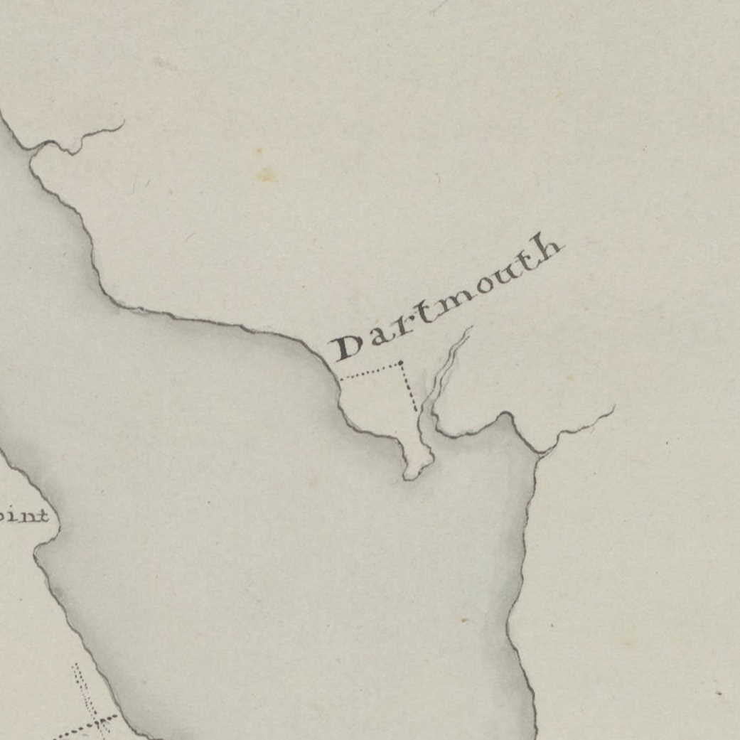
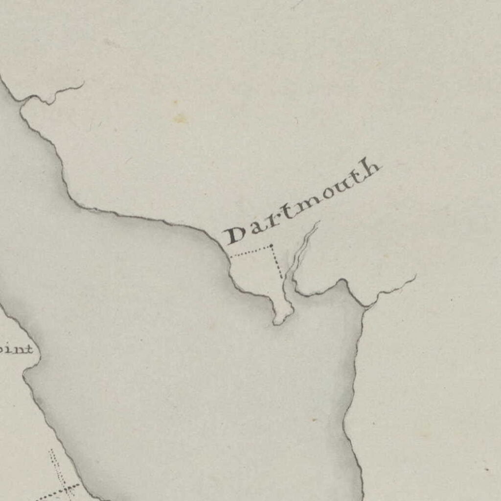
Rivez, Charles. “A map of the harbour of Halifax” >1757. https://hdl.huntington.org/digital/collection/p15150coll4/id/16195
Related posts:
- A plan of the battery and redout on the east side of the harbour of Halifax (Dartmouth) This is likely Fort Clarence, though from the shape of the shoreline and the profile of the fort itself it could also be what was once Fort Duncan, dismantled by 1808, which today would be located underneath the MacDonald bridge...
- A chart of the coast of Nova Scotia from Port Maltois to Lawrence town “An Indian path to the lakes by which and the River Chebenacadie they go to Quebecq”, which seems to follow what was the original path of Crichton Avenue, also noted, “Coal Harbor”. Meyer, Elias. “A chart of the coast of...
- Map of that part of Nova Scotia contained between Lunenburgh and the Bay Vert by Halifax and Pisiguit, including Cobiguit and Tatmagouch “Manuscript map copy by Samuel Holland showing the coasts around Halifax, to Lunenburg Harbour, and from Minas Basin to Forts Cumberland and Lawrence on the Bay of Fundy. Also shows the road from Fort Sackvile to Pisiguit Fort and the...
- This Map of the Province of Nova-Scotia and parts adjacent Noticed: “America Point” at the north end of the Halifax peninsula, “Warren’s Point” and “Saw Mill River” on the Dartmouth side. Turner, James. “This Map of the Province of Nova-Scotia and parts adjacent” Sold by Andrew Hook in Philadelphia 2d....
- “Captain John Taylor Wood” “The autograph and signature of former Confederate Captain John Taylor Wood on a card for the W. Chase Photograph Gallery in Nova Scotia, with a sketch by Wood of the private vessel he later captained, the Tallahasse [sic] and a...
- Halifax Harbour from the Heights above Dartmouth Common “Halifax Harbour from the Heights above Dartmouth Common”, Mercer, Alexander Cavalié. 1840. https://recherche-collection-search.bac-lac.gc.ca/eng/home/record?app=FonAndCol&IdNumber=2837672...
- A plan of the harbour of Halifax A somewhat detailed representation of Dartmouth by Charles Morris showing what appears to be four blockhouses and what is perhaps the connecting palisade. Mills are also noted along with a windmill just beyond the mill stream, near what would be...
- George (sic) Island and Part of Halifax Harbour from the Dartmouth Side (Sandy Cove) A view of what used to be Sandy Cove beach, from near the bottom of what is now “Oceanview Drive” at the Dartmouth Sewage Treatment Plant. George’s Island in the distance. “George Island and Part of Halifax Harbour from the...
- A draught of the harbour of Halifax, Sambro Islands, shoals, ledges of rocks, and soundings, also the rivers Shubenauda & Cobequid Bay Morris, Charles. A draught of the harbour of Halifax, Sambro Islands, shoals, ledges of rocks, and soundings, also the rivers Shubenauda & Cobequid Bay. [1761] Map. Retrieved from the Library of Congress, <www.loc.gov/item/74691494/>...
- Dartmouth town, 1864 From: Topographical township map of Halifax County, Nova Scotia / from actual surveys made, drawn, & engraved by and under the direction of H.F. Walling. Map of Nova Scotia and adjacent provinces, Creator: Walling, Henry Francis, 1825-1888, Publication Date: 1864,...