

Gallery
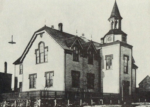
Five Corners

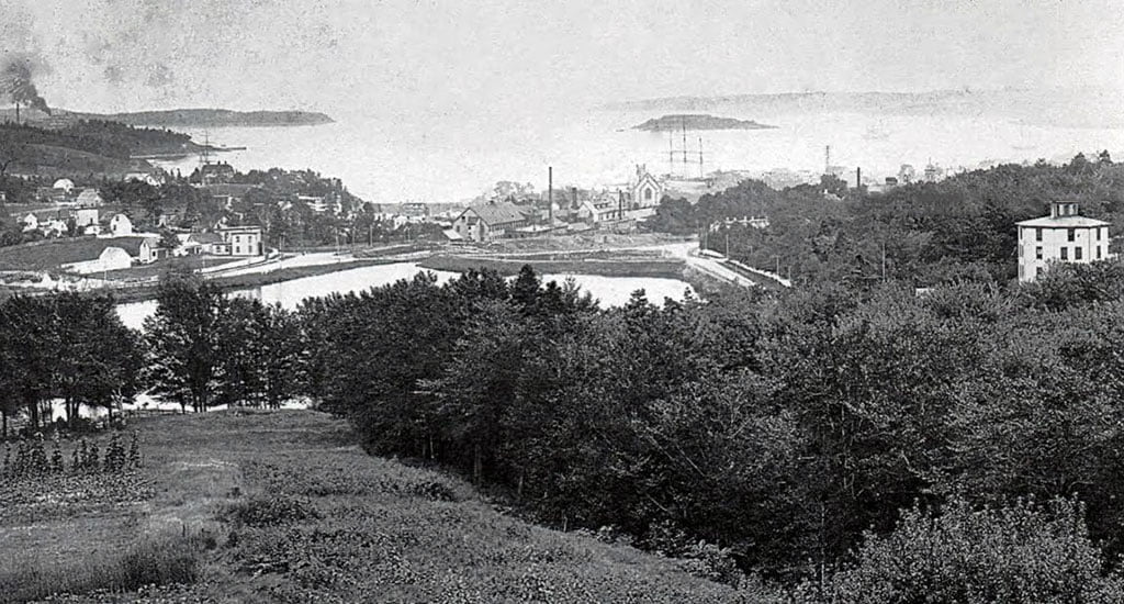
Looking East, previous to the construction of the new Hawthorne School (now located in the empty field at middle-left) as well as the apartment building at Pleasant, Portland and Albert Street (in the bottom right). To avoid confusion, this is one of two five corners in downtown Dartmouth, the other five corners is located down the street at Portland, Prince Albert and Canal.
Sandy Cove
Hesslein Family’s swimming pool at Sandy Cove, 1884. (To the south of the site of the present day sewage treatment plant, this view is looking north towards downtown Dartmouth, the grounds surrounding Evergreen at far left in the distance.)
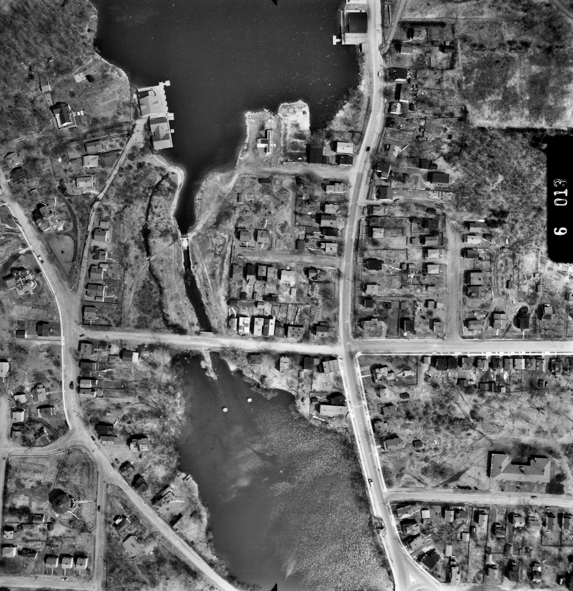
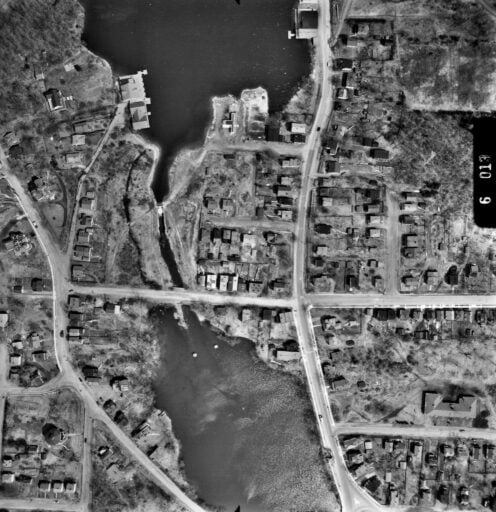
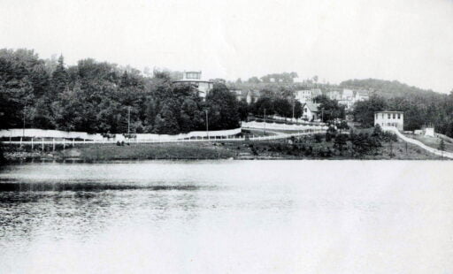
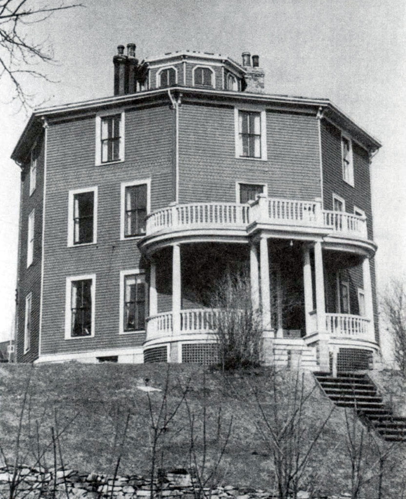
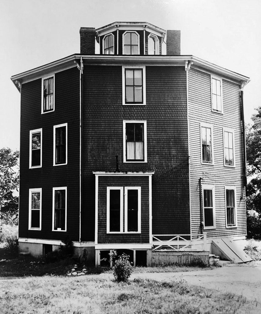
Aerial photo of Sullivan’s Pond, Octagon House
Town of Dartmouth Police station
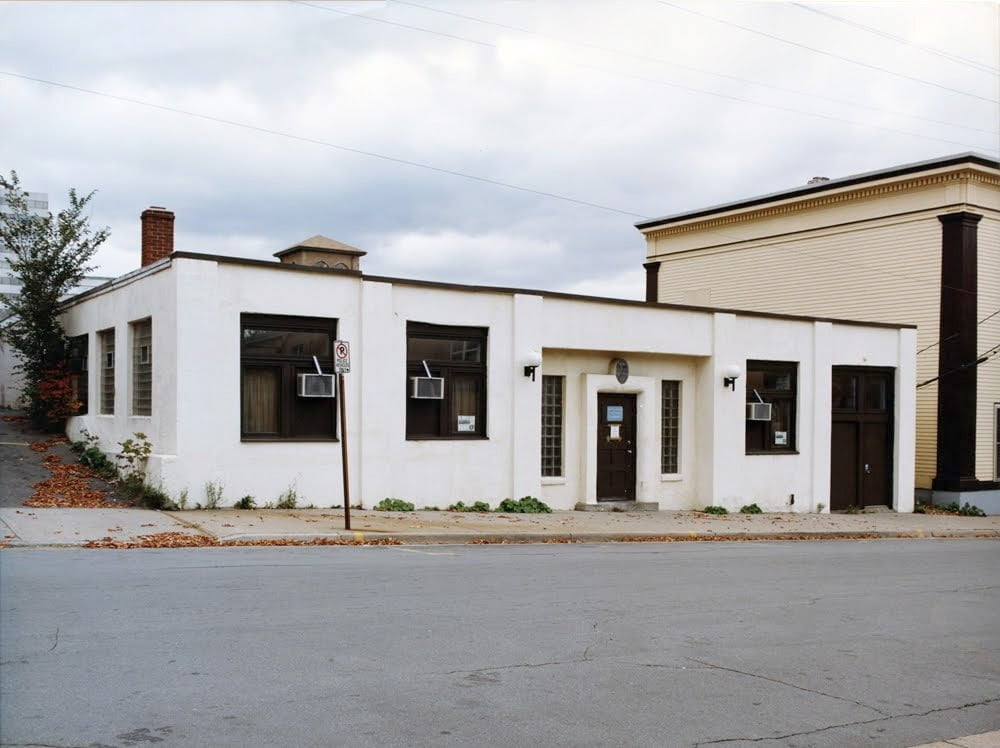
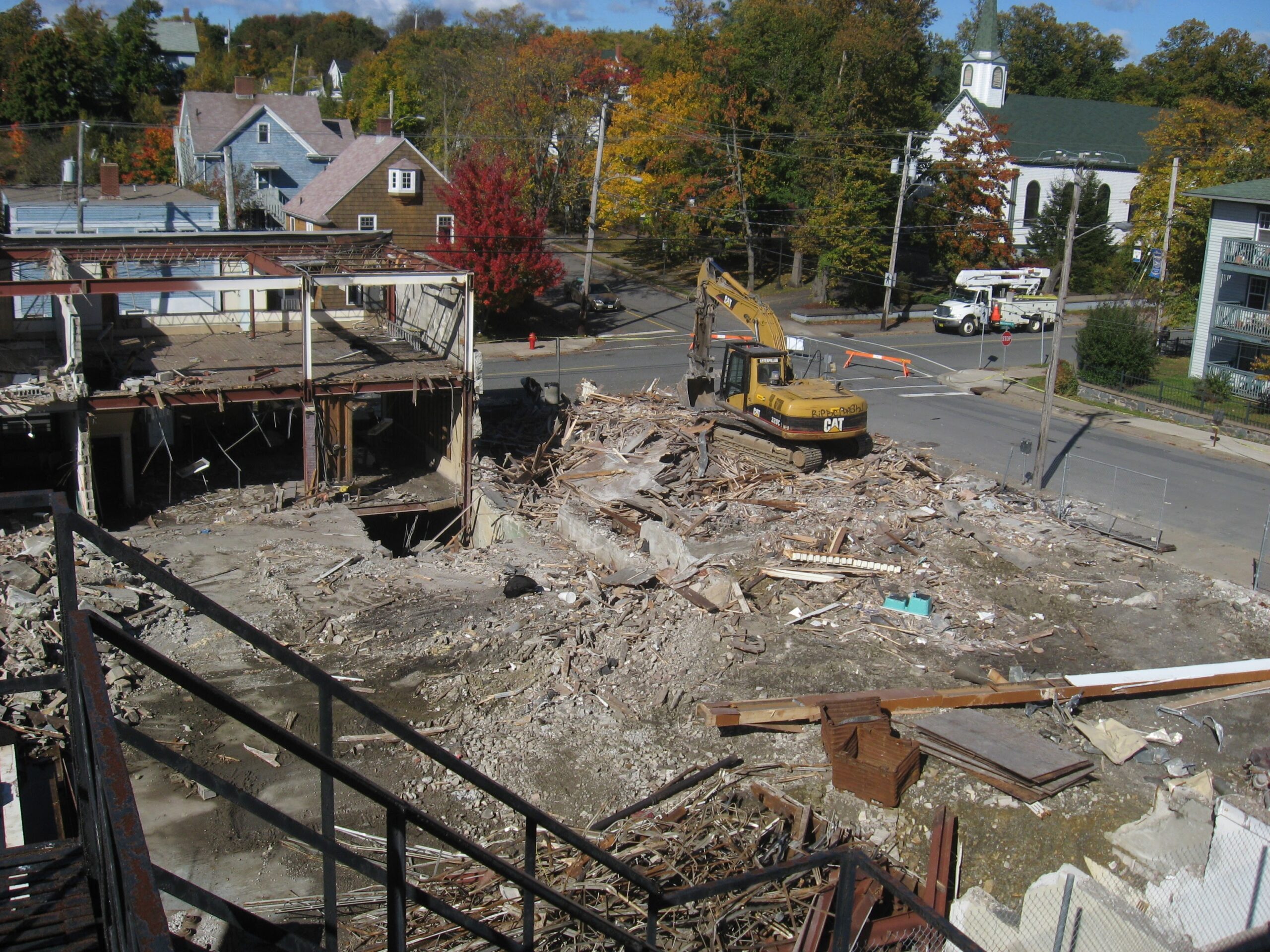
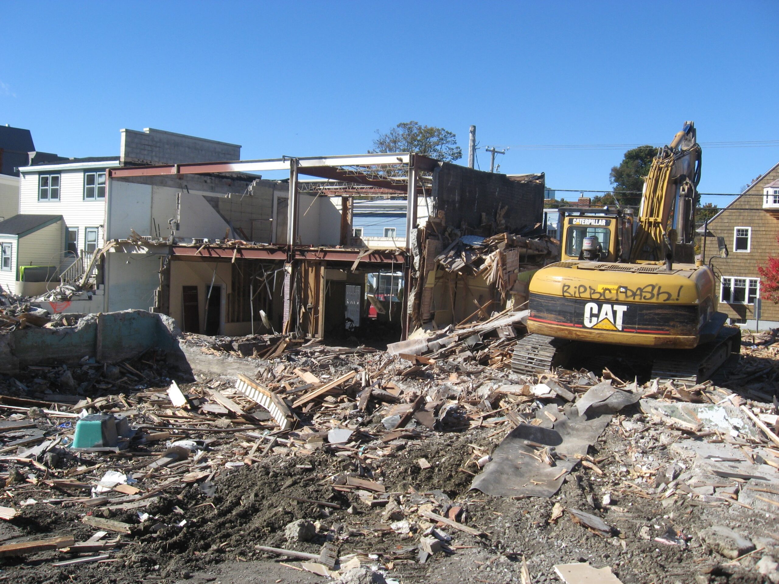
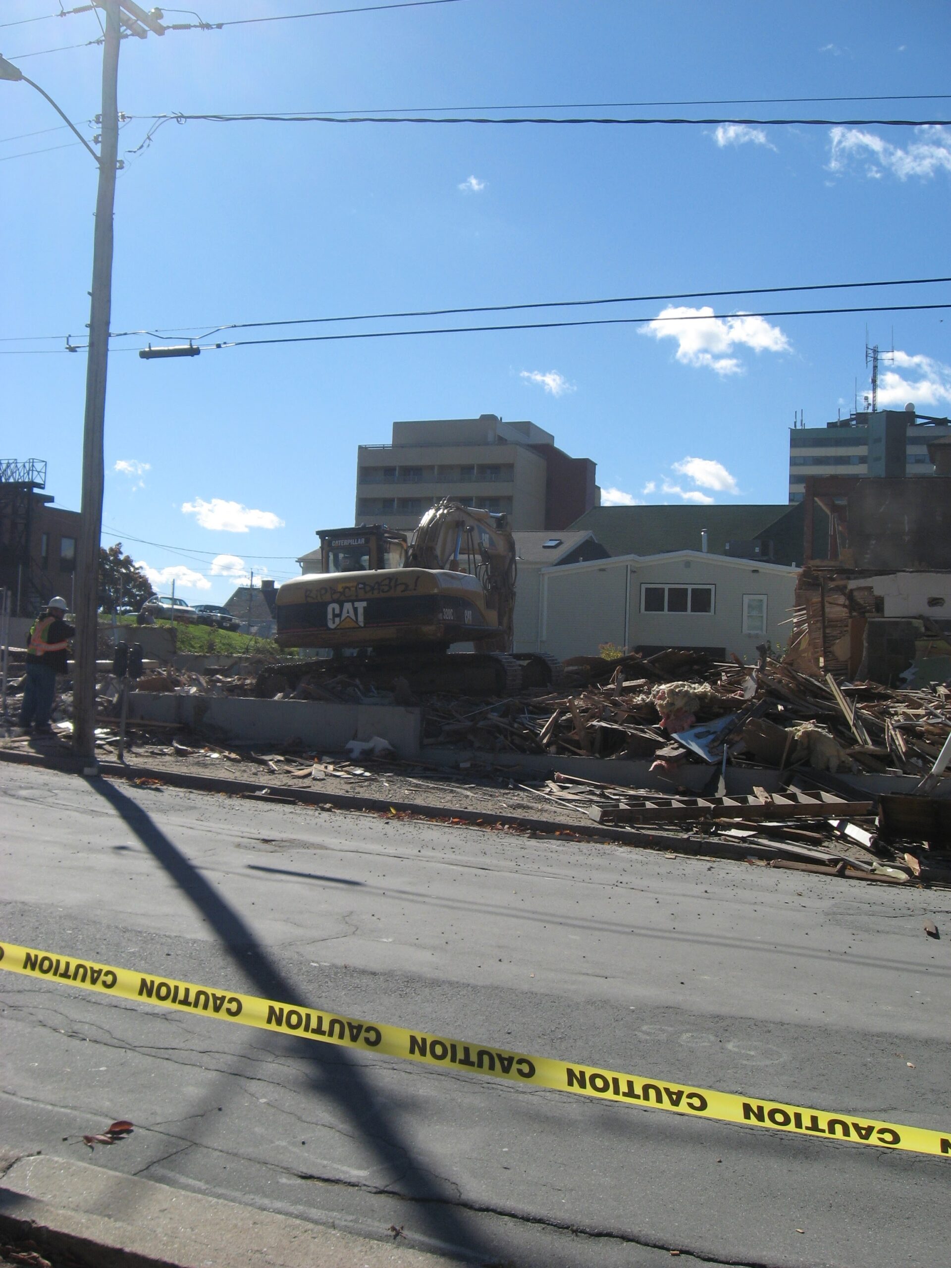
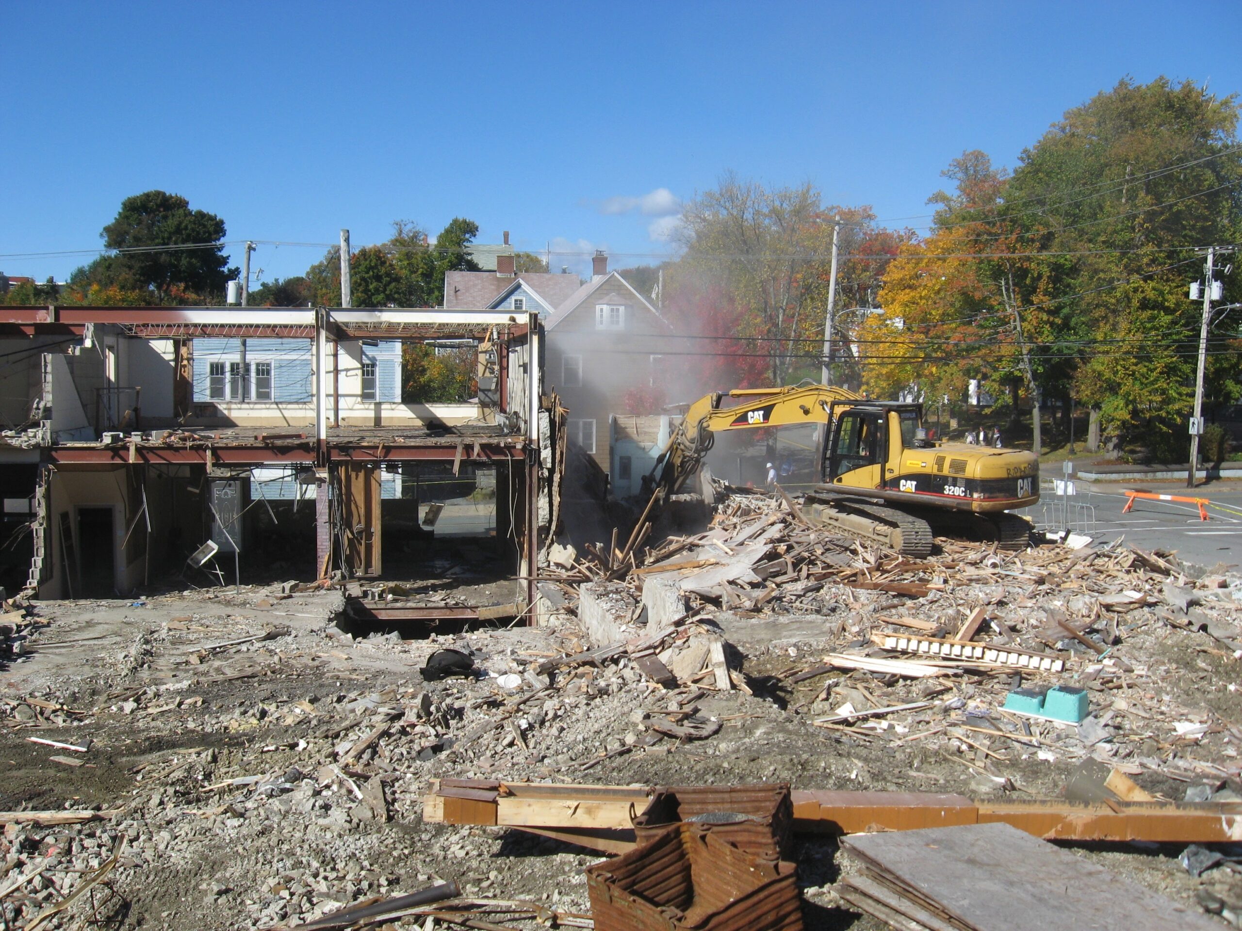
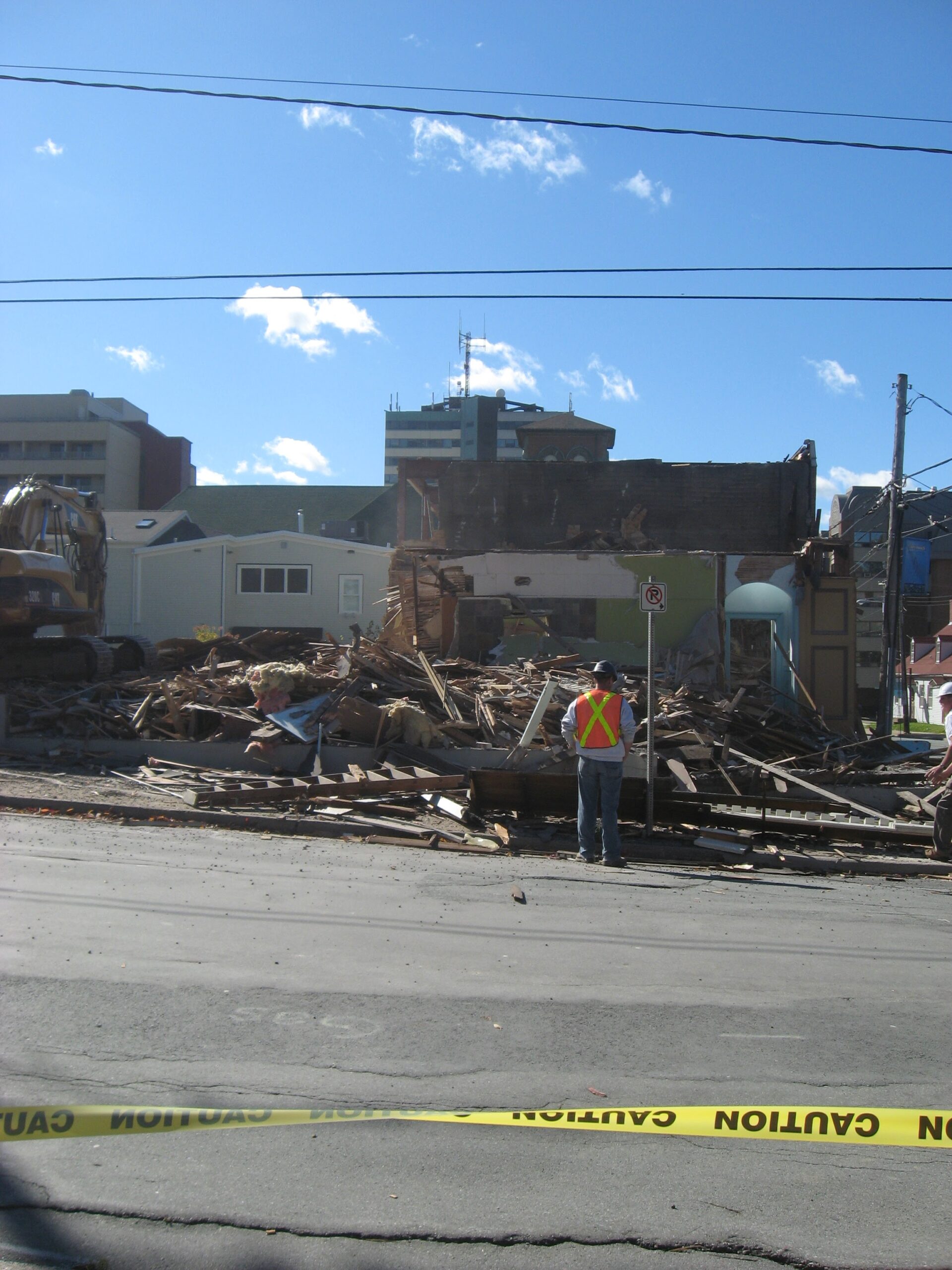
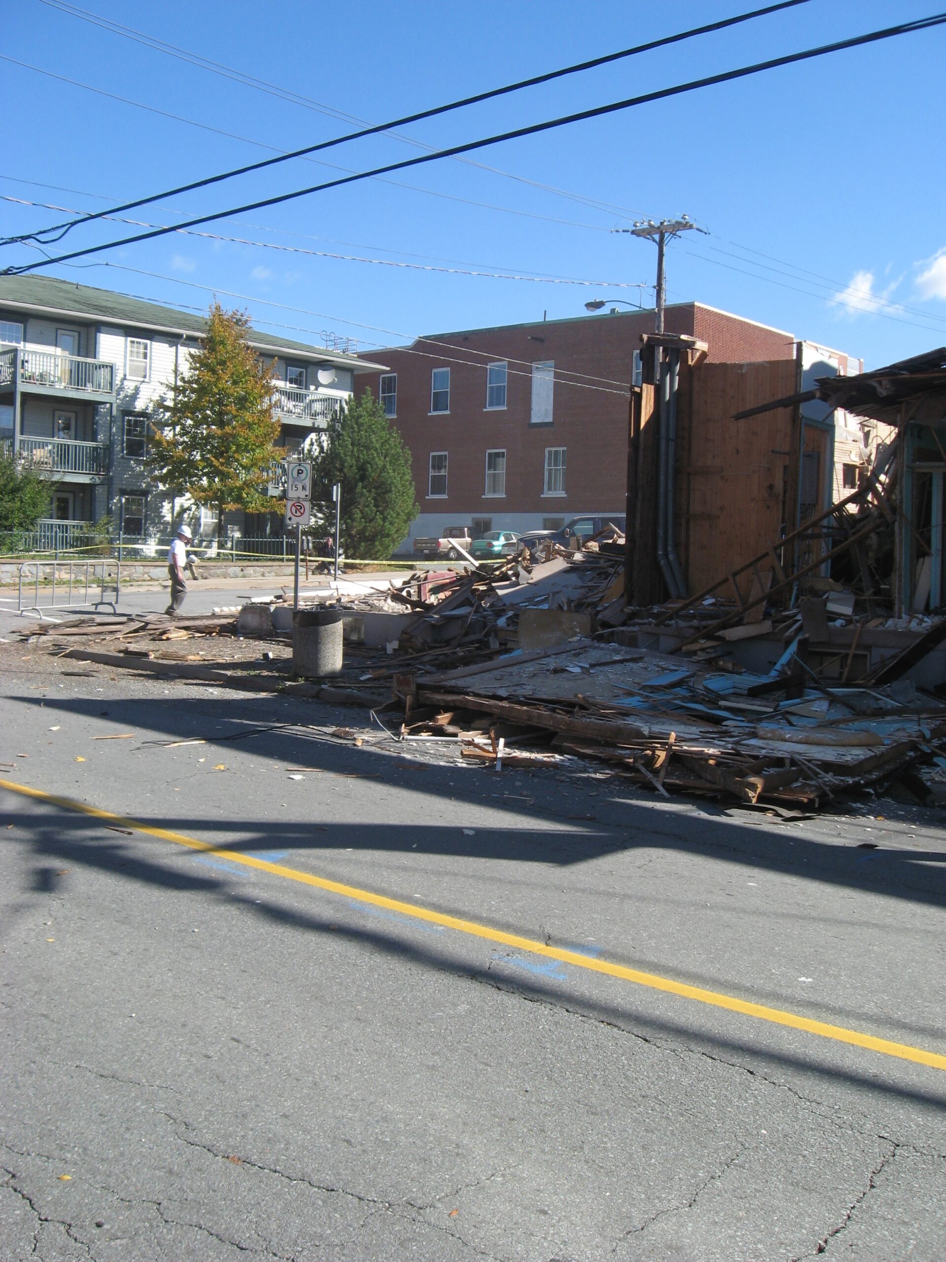
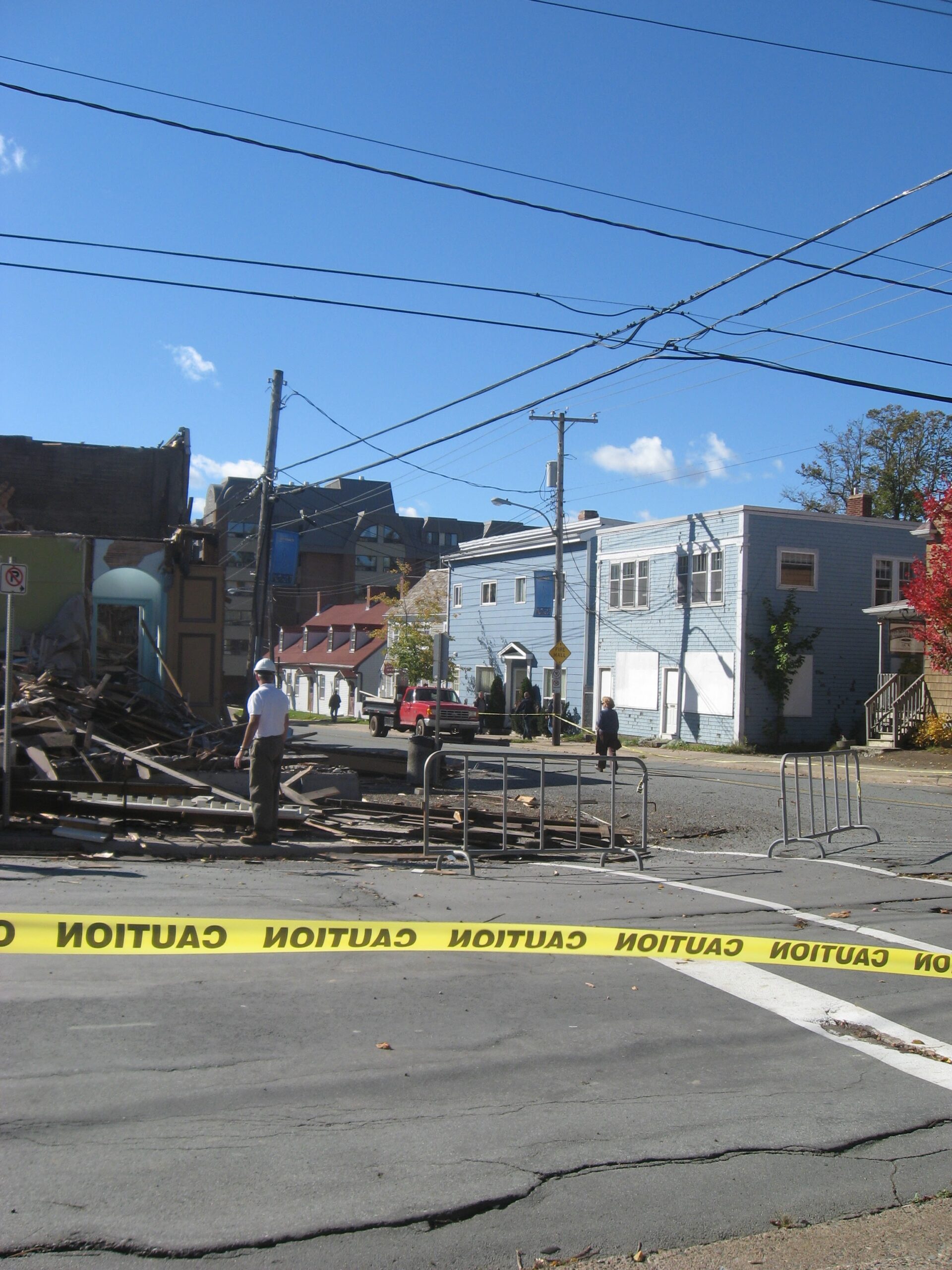
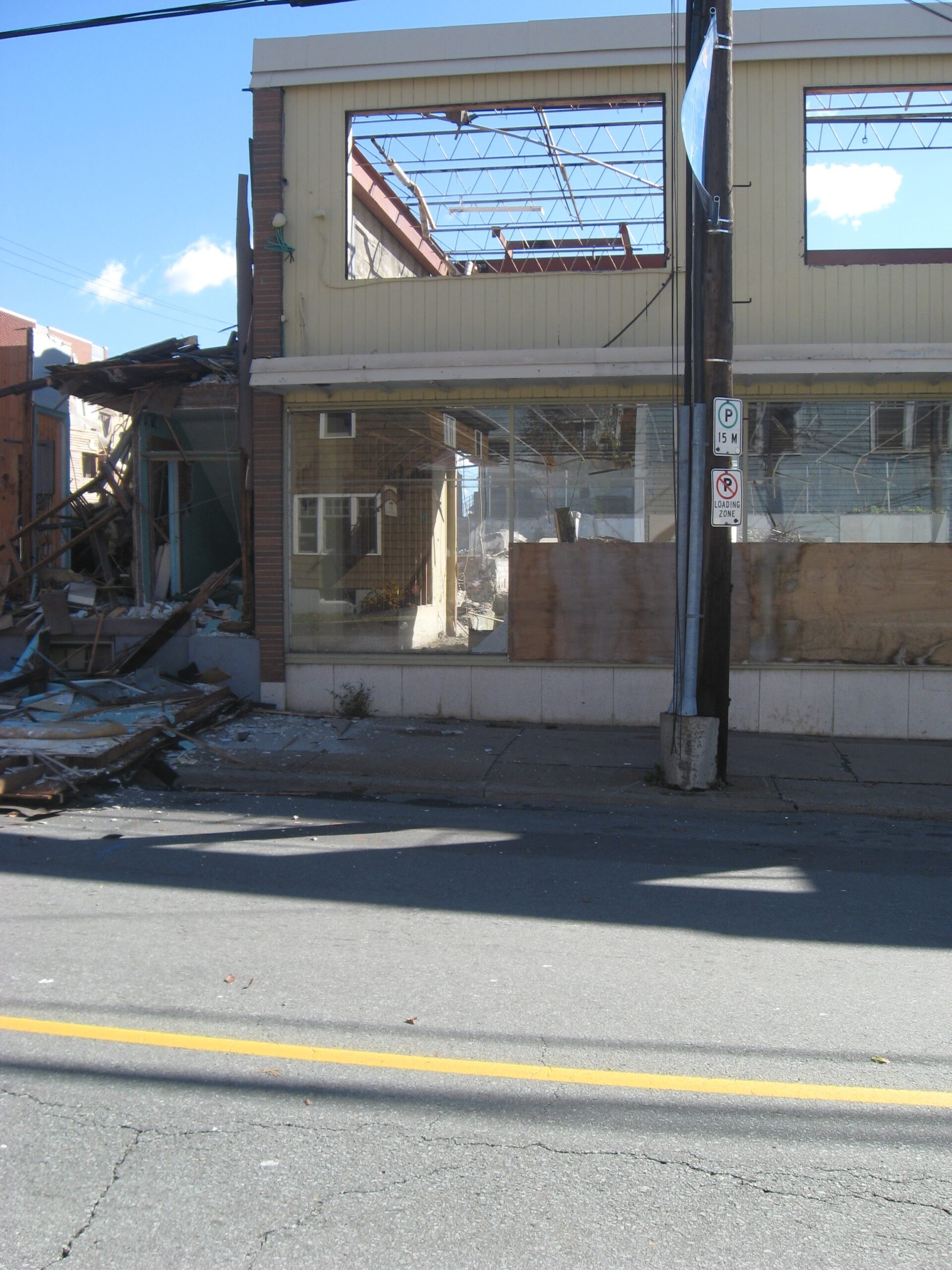
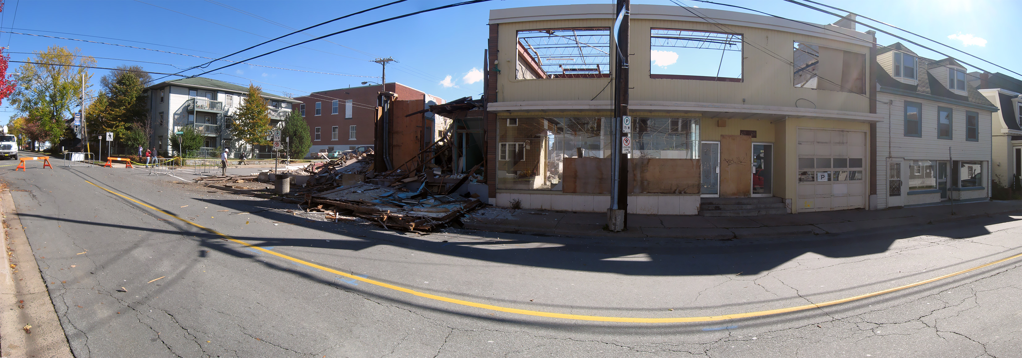
As seen on Wentworth Street, prior to it being demolished in 2008 to make way for “Founder’s corner”, along with the Masonic Hall on the corner of Ochterloney Street, the rear of which is seen here. You can see the town seal above the front door. More on the (demise of the) Masonic hall here: https://cityofdartmouth.ca/masonic-hall-demolition/
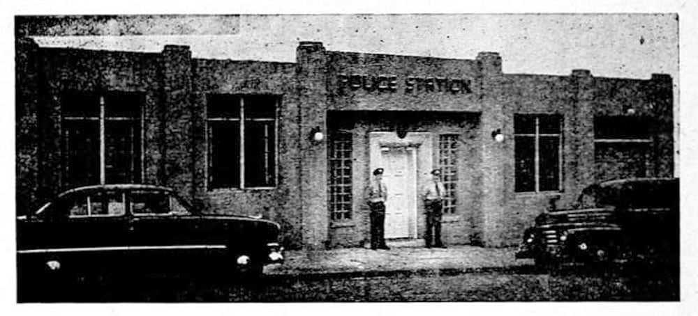
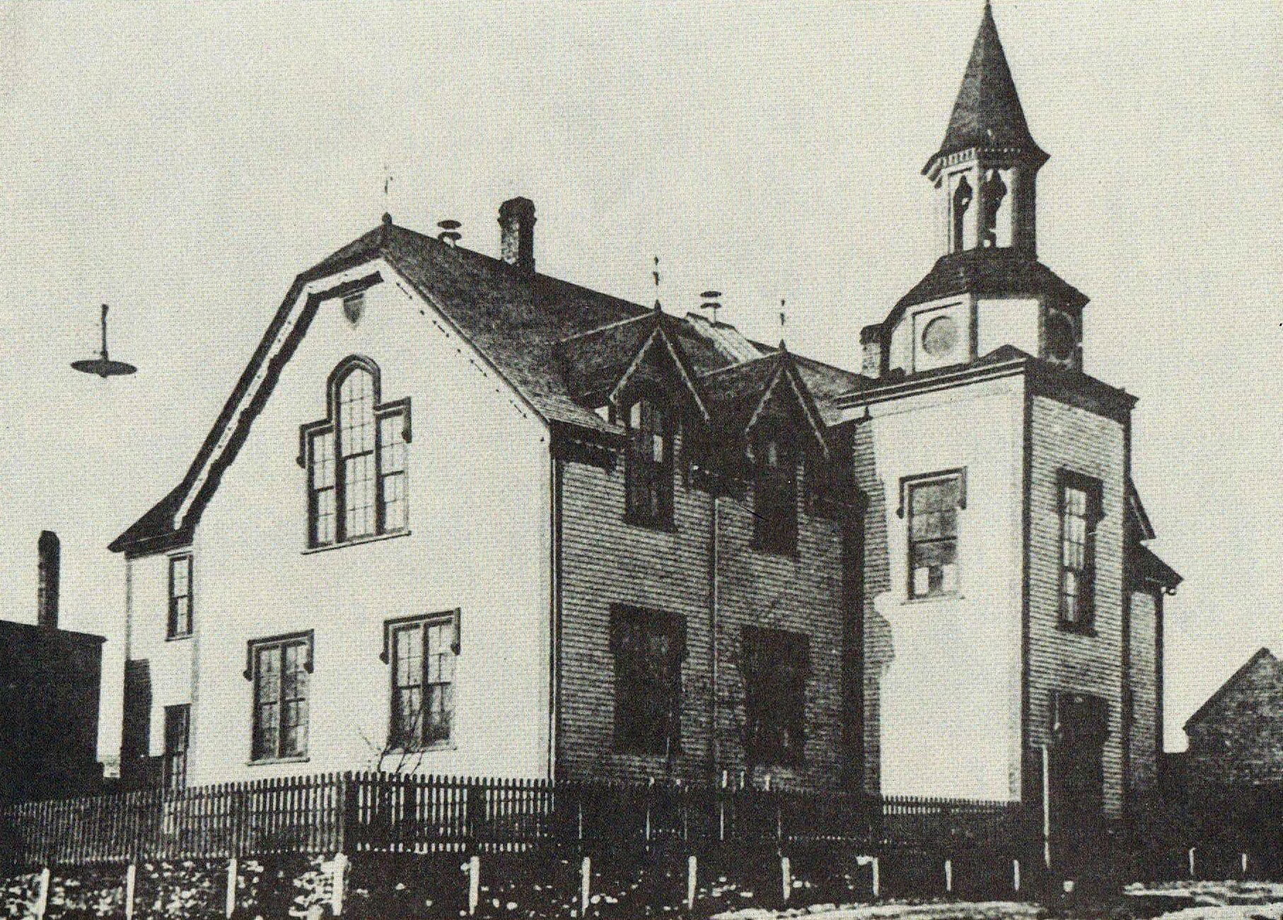
Excuse the poor quality of the photo, it’s one of the only pictures I’ve seen of it in its past life. It operated as a dry cleaning business in more modern times. Across the street was the City of Dartmouth Police Station.


Queen at Alderney
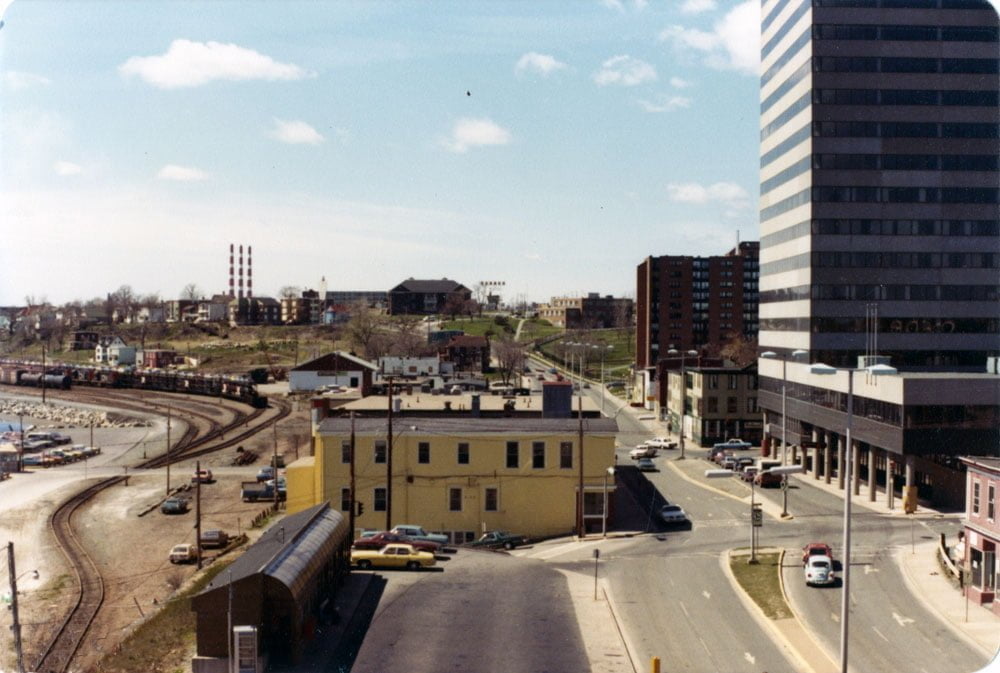
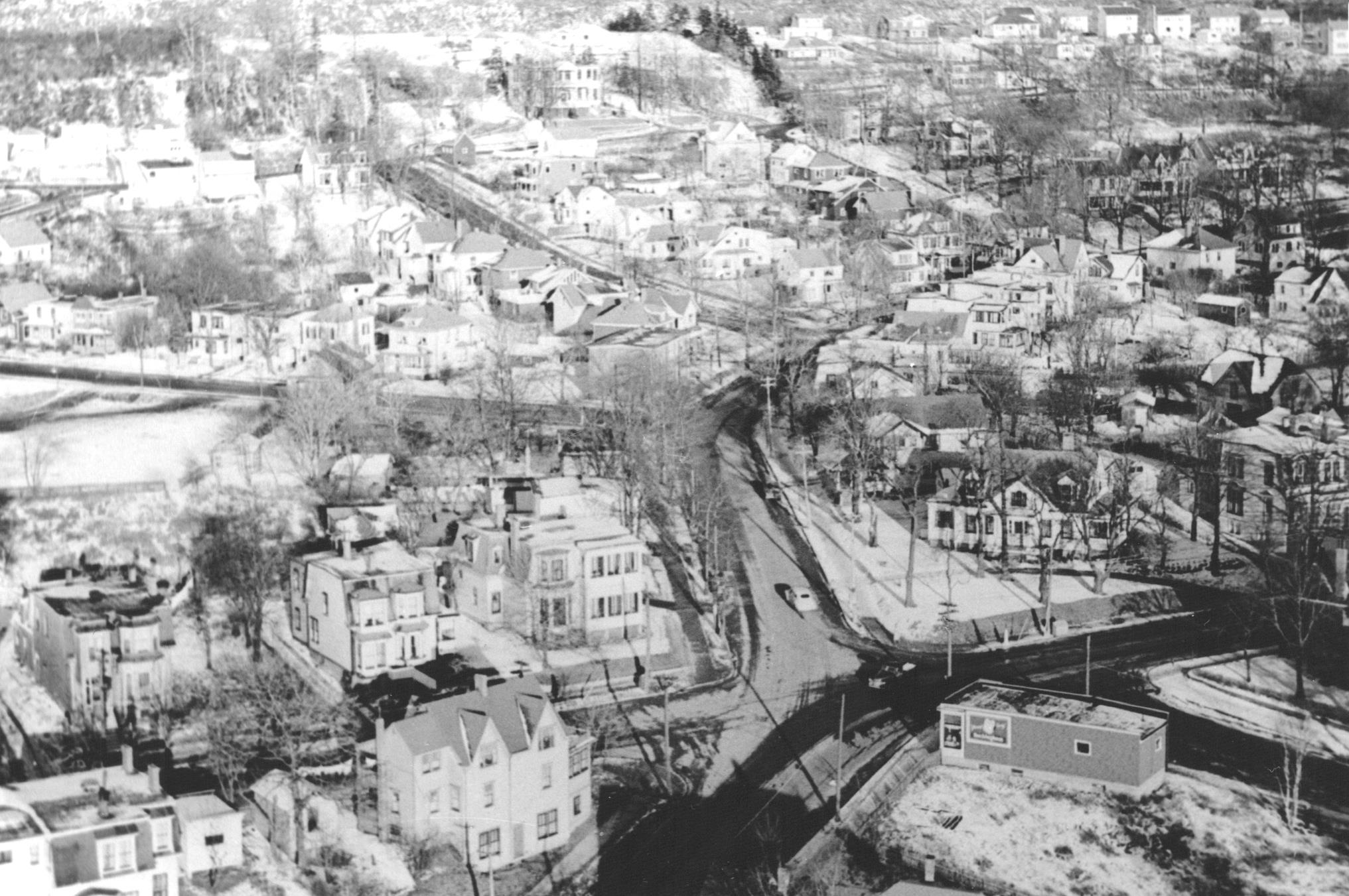
A view from Dartmouth City Hall looking north. The Bus terminal is seen at bottom. Queen Street continued through to the waterfront beyond Alderney Drive.

Appears to be sometime in the late 80s or early 90s, you can see fencing going up along the sidewalk at left. Little Nashville cabaret is seen at right, which moved to Wyse Road near Boland after this whole area was demolished to make way for Alderney Gate.

Alderney Gate, under construction.
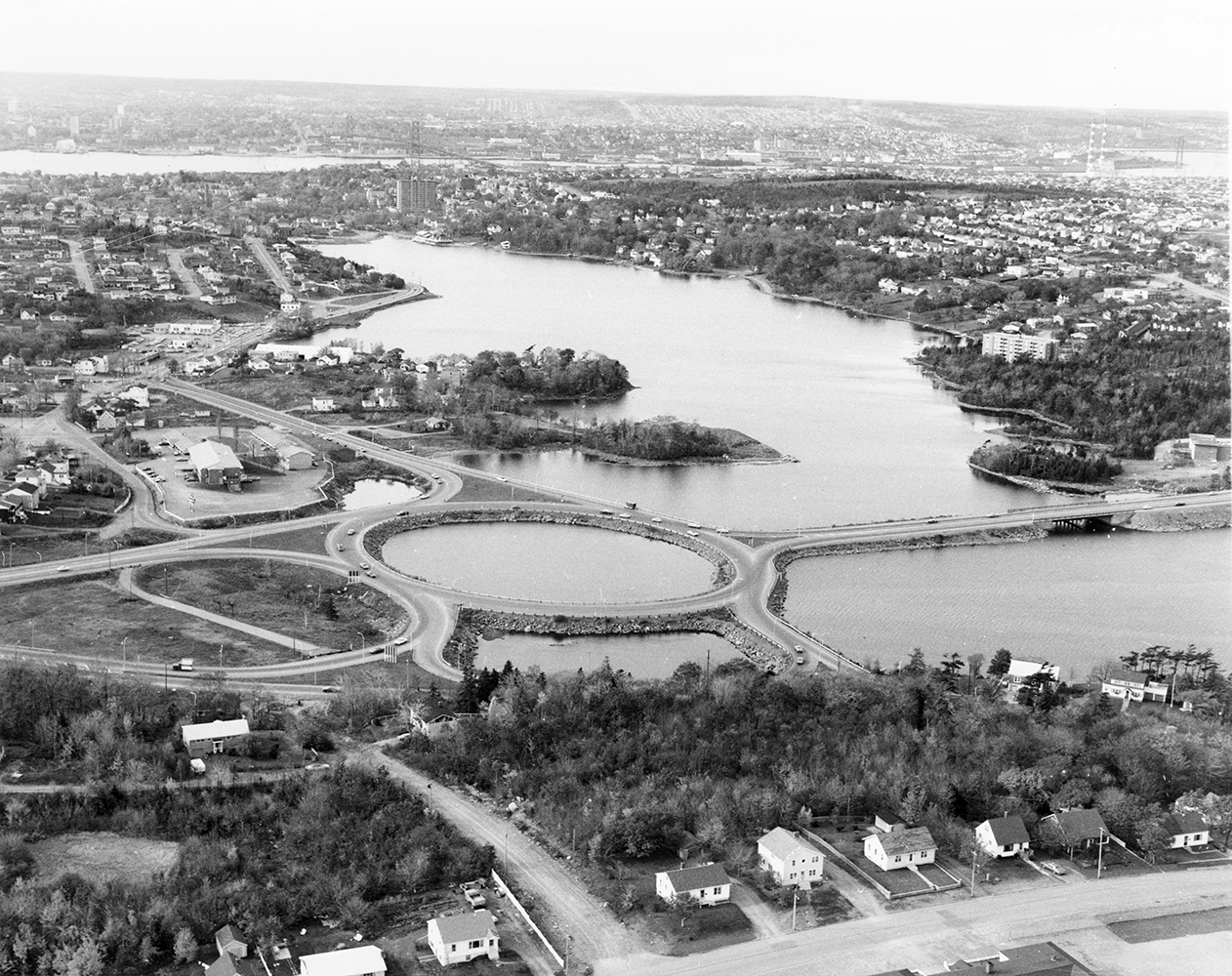
Mic Mac Rotary

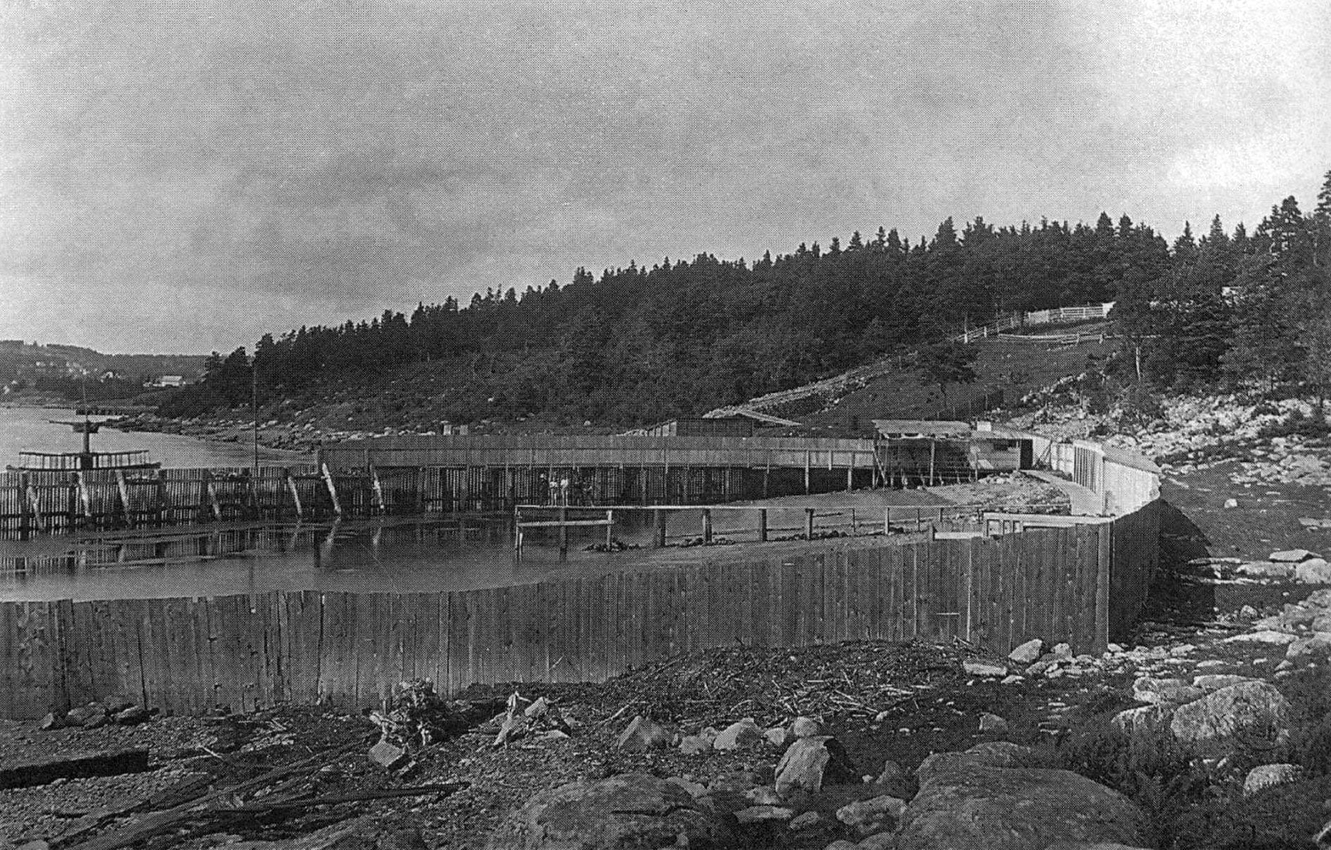
In the photo above (and below) you can see the original path of Braemar Drive, as well as where the original shoreline was, previous to the construction of the rotary.

https://7046.sydneyplus.com/archive/final/Portal/Default.aspx?component=AABC&record=5a0cfb54-9e92-4958-bd31-040214655f8d


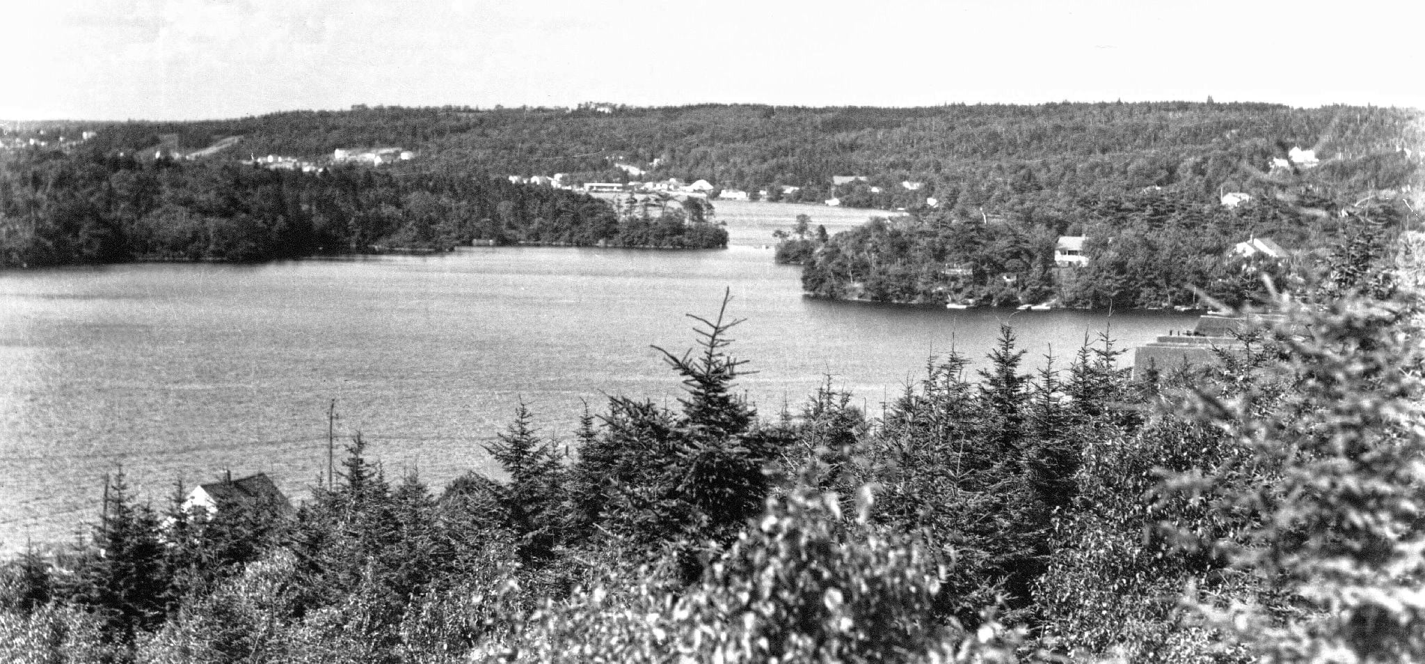
Another view of the rotary shortly after construction, looking towards what is now Mic Mac Mall. To the right is what remained of Braemar Drive, along with one of the homes that once was a lakefront property before being swallowed up by “progress”.

What is now Mic Mac Mall and “Mic Mac Village”, shortly after construction of the beltway that extended as far as Woodland Road as seen in the map at the bottom of the page.

“By August of 1961, the Micmac Rotary was nearing completion. Originally Main Street connected with Prince Albert Road and Braemar Drive was a continuous street where it is now split by the rotary. The site of what was to become Micmac Mall was at that time a tract of empty land. Many of the homes surrounding the rotary have since disappeared. And, the Dartmouth Inn has grown over the years.”


From 1830, a good view of the original shoreline around Graham’s Grove. “50 men commenced 8th Oct 1830 to make a new road”. “Plan of the Improvement of Dartmouth Road by Bells Sand Pit”, https://archives.novascotia.ca/maps/archives/?ID=459.

“Graham, Bell”…🤔
The same area as above nearly 25 years later, the “old road” alignment still noted. “Dartmouth, Property along the 1st Dartmouth Lake”, 1853. https://archives.novascotia.ca/maps/archives/?ID=730

The general vicinity in 1918, the road to Preston branching into what is now Lakecrest Drive and Tacoma Drive.

By 1956 there’s some subdivisions and aspirational plans included that didn’t quite come to pass as envisioned here. “Map and Directory of Information Halifax and Dartmouth and Vicinity, Nova Scotia”, Mapco. 1956. https://archives.novascotia.ca/maps/archives/?ID=1673&Page=202012450

Planning for the rotary underway, “Map of Halifax, Dartmouth and Vicinity”, 1962. Mapco. https://archives.novascotia.ca/maps/archives/?ID=1740&Page=202012470

From “Halifax Military Town Plan“, 1963. http://digitalarchive.mcmaster.ca/islandora/object/macrepo%3A81109