

Planning for the beltway is underway in this 1962 map, as with several subdivisions.
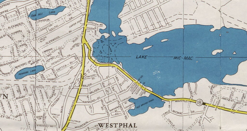
Planning for the rotary is underway too with what looks to be an interchange with Woodland Avenue, close to the design that ended up carrying the day.

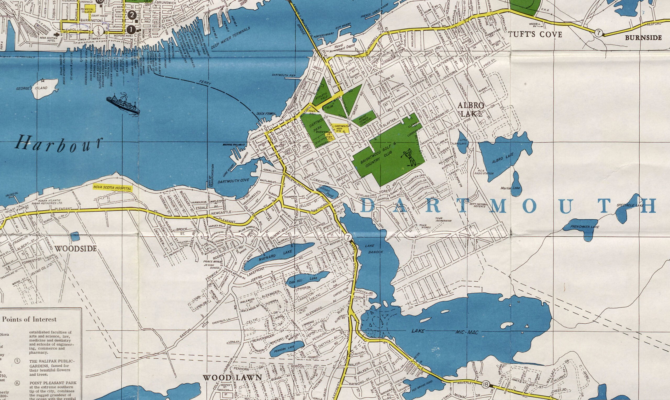
A look at the broader vicinity, the City of Halifax’s boundaries still limited to the peninsula at this time.
“Map of Halifax, Dartmouth and Vicinity”, 1962. Mapco. https://archives.novascotia.ca/maps/archives/?ID=1740&Page=202012470