Haghe, Louis. “View of Halifax from Dartmouth Cove” 1828. Lithograph, coloured with water colour, on wove paper. Laid down on cardboard https://www.torontopubliclibrary.ca/detail.jsp?Entt=RDMDC-JRR2195&R=DC-JRR2195

Amicitia Crescimus
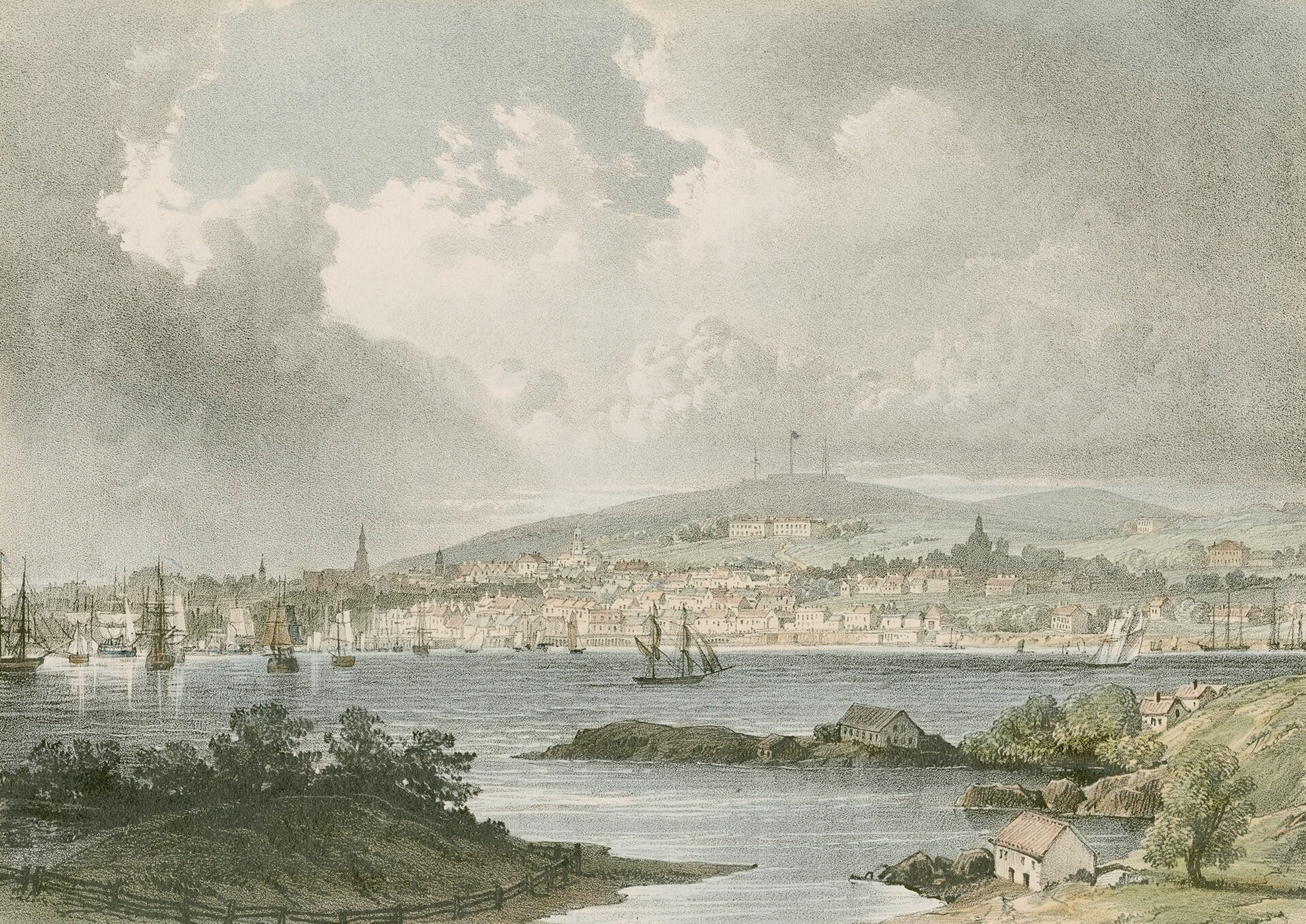
Haghe, Louis. “View of Halifax from Dartmouth Cove” 1828. Lithograph, coloured with water colour, on wove paper. Laid down on cardboard https://www.torontopubliclibrary.ca/detail.jsp?Entt=RDMDC-JRR2195&R=DC-JRR2195
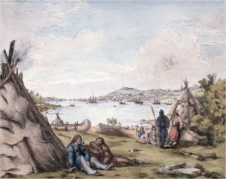
The harbor mouth is seen directly ahead, George’s Island to the right, with Point Pleasant at the extreme right. To the left in the distance is McNabs Island, and the Dartmouth shore can be seen at extreme left. The church in the middle of the scene is likely Christ Church, the view looks to be from near Thistle Street and Victoria Road today.
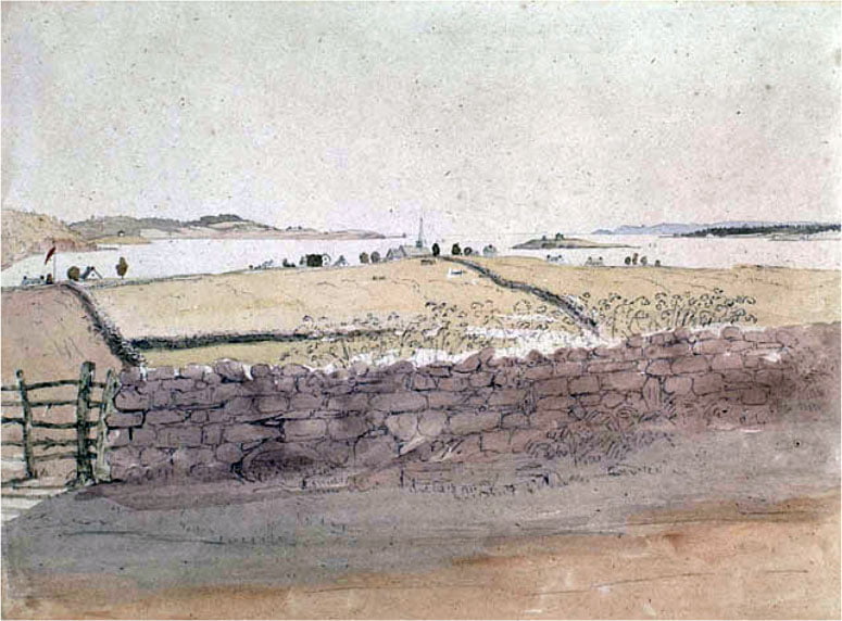
Mercer, Alexander Cavalie. “Halifax Harbour from Dartmouth Common”. 1838. Watercolour over pencil on wove paper. https://www.bac-lac.gc.ca/eng/CollectionSearch/Pages/record.aspx?app=FonAndCol&IdNumber=2834032
This view appears to be from the vicinity of Tuft’s Cove. Citadel Hill is seen in the distance in the middle of the piece, the harbor mouth to the left.
Petley, Robert. “View of Halifax from the Indian Encampment at Dartmouth”. 1837. Lithograph with hand coloring on wove paper. https://www.bac-lac.gc.ca/eng/CollectionSearch/Pages/record.aspx?app=FonAndCol&IdNumber=2837358
Also:
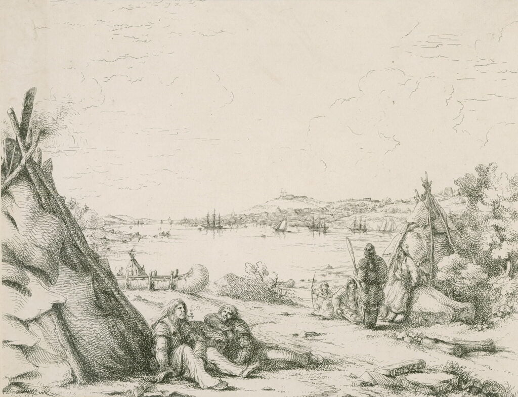
Petley, Robert. “View of Halifax. / from the Indian Encampment at Dartmouth.” 1837. Lithograph on India paper laid down on wove paper. Laid down on cardboard https://www.torontopubliclibrary.ca/detail.jsp?Entt=RDMDC-JRR2208&R=DC-JRR2208


“View of Halifax”, July 1757. https://archives.novascotia.ca/maps/archives/?ID=93
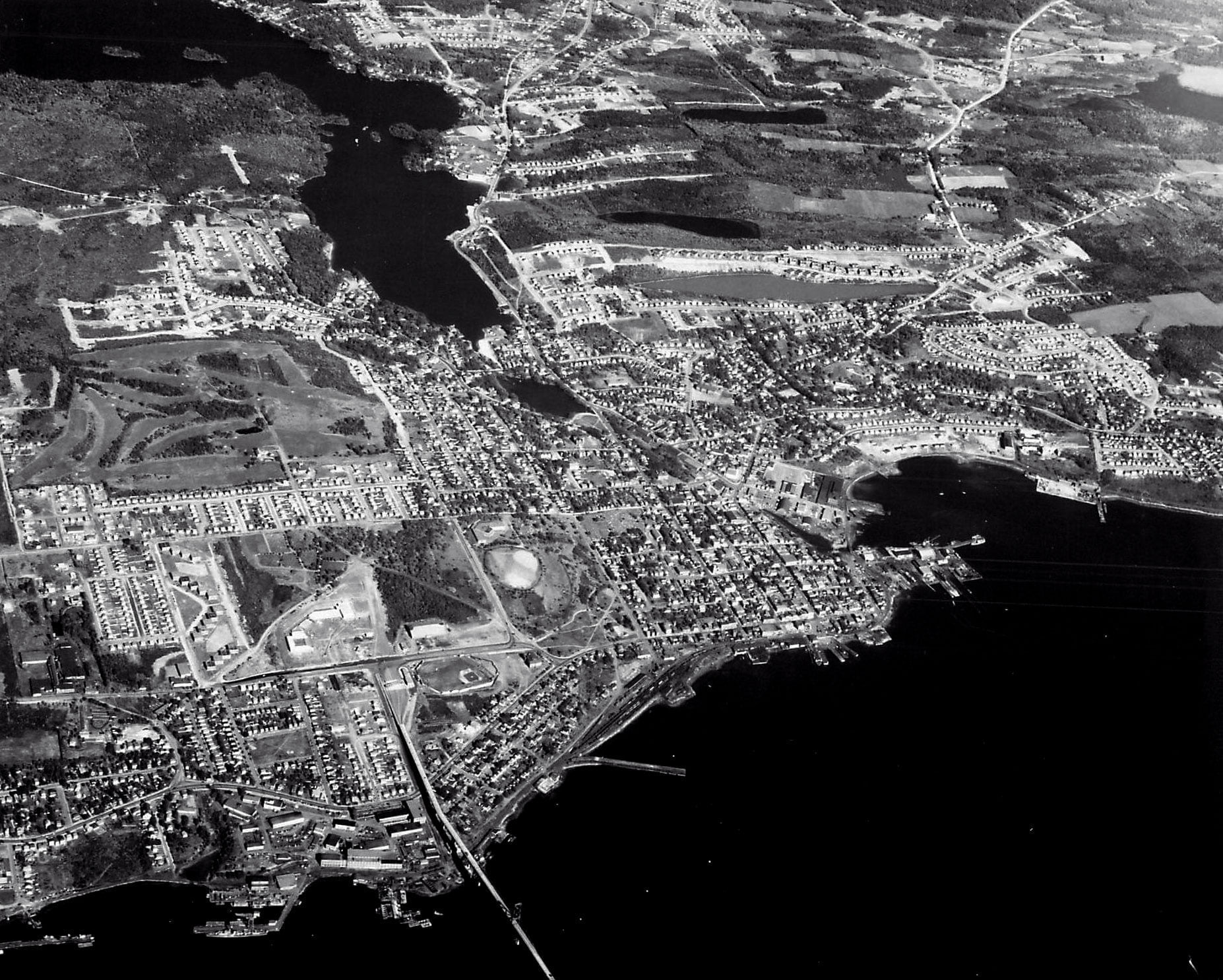
A broader aerial picture with enough developments happening to date it with some level of certainty. The Bridge is present, the Avenue can be seen at the upper left, the forest beyond being the MicMac mall area today.
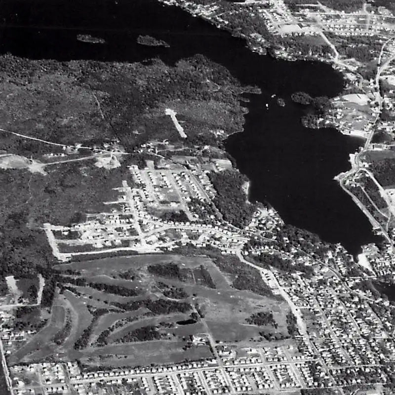
Crichton Park is in the process of construction.
It’s easy to miss Maynard’s Lake, its color so much lighter compared to surrounding lakes, presumably from the construction of Lakefront Apartments happening at its banks.
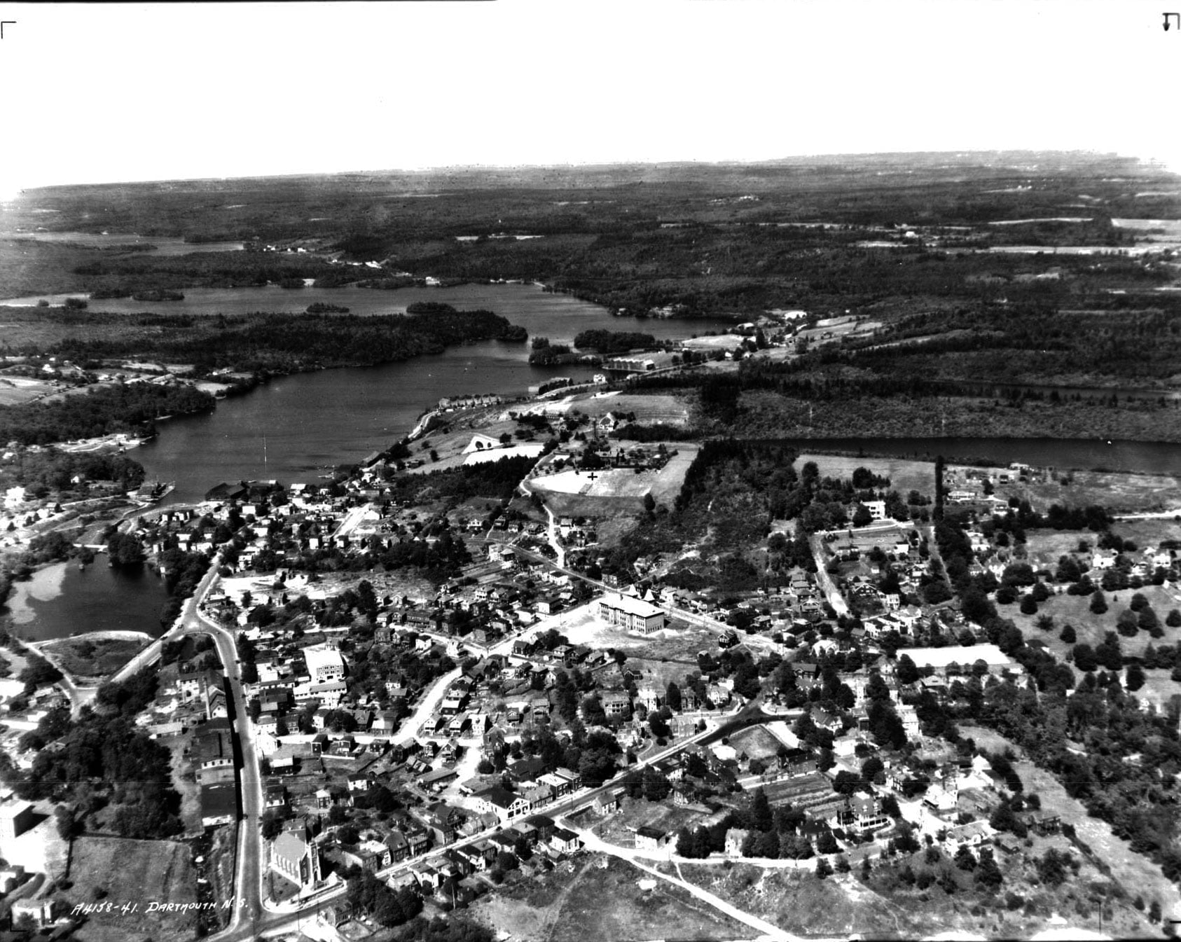

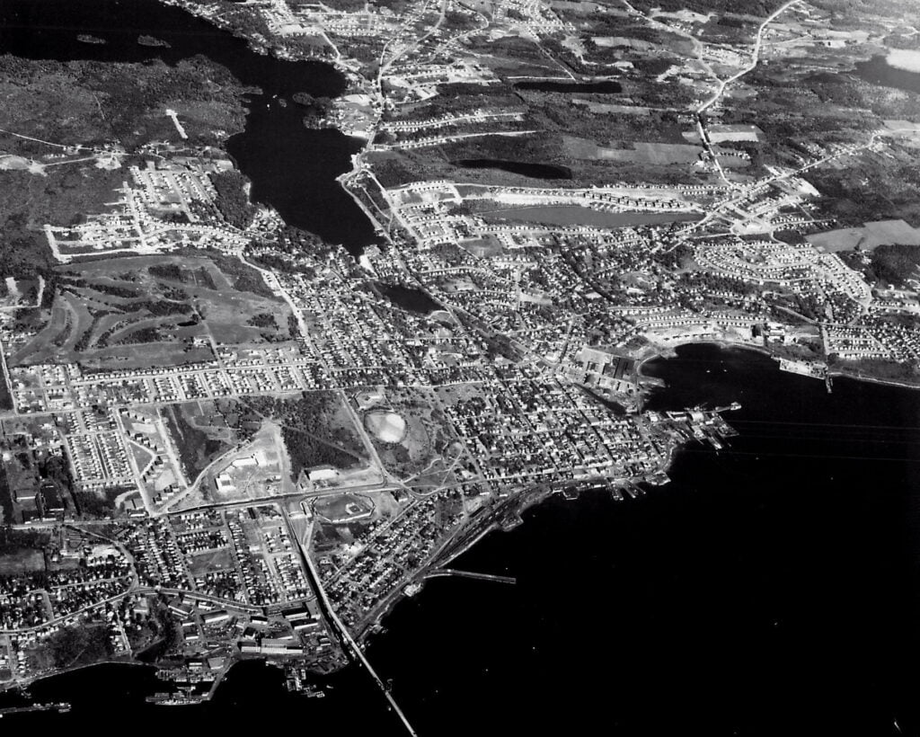
An excellent early aerial photograph of Dartmouth, from Prince Albert at Portland looking east.
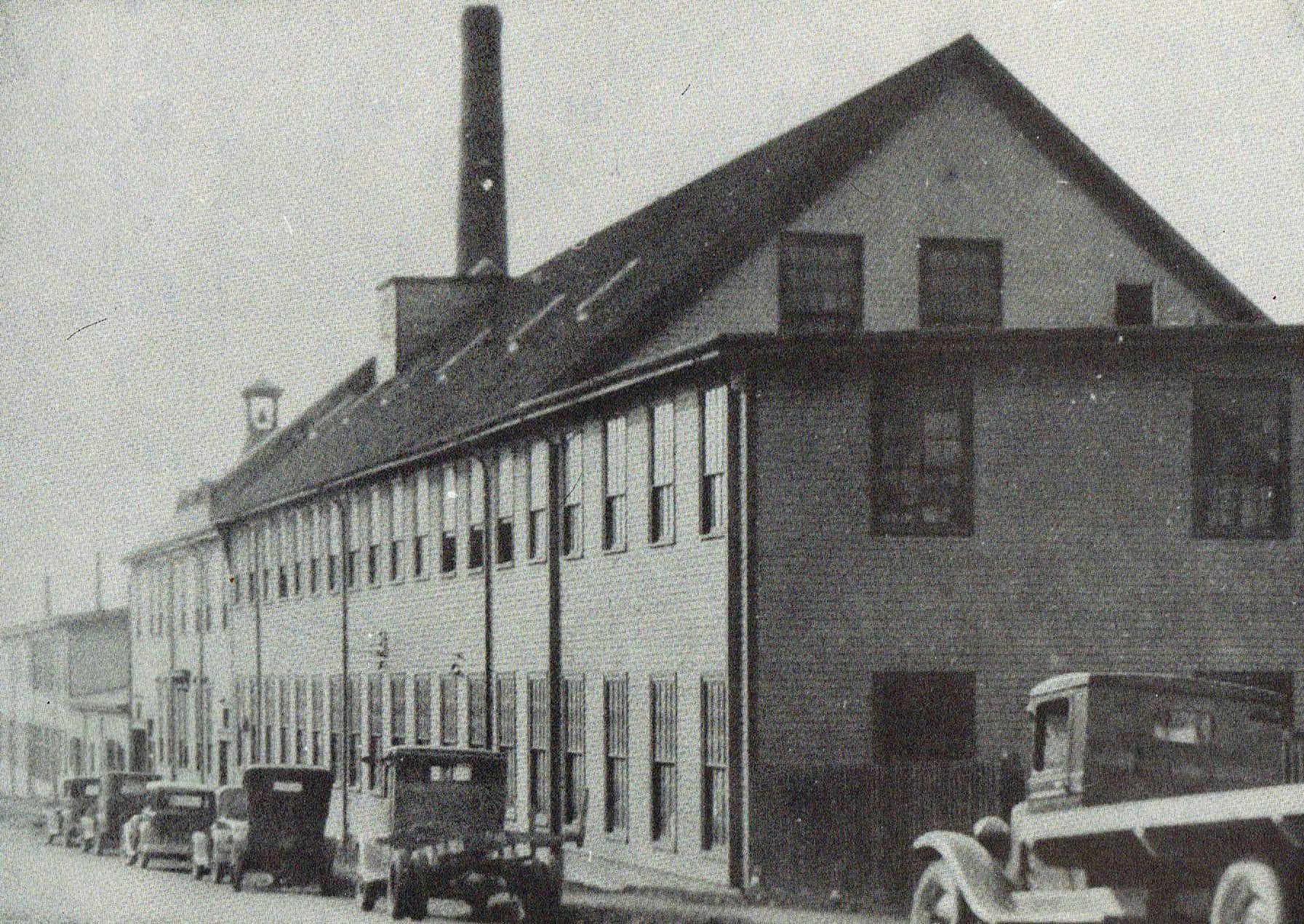
Looking north-east towards Prince Albert Road, inclined plane at left
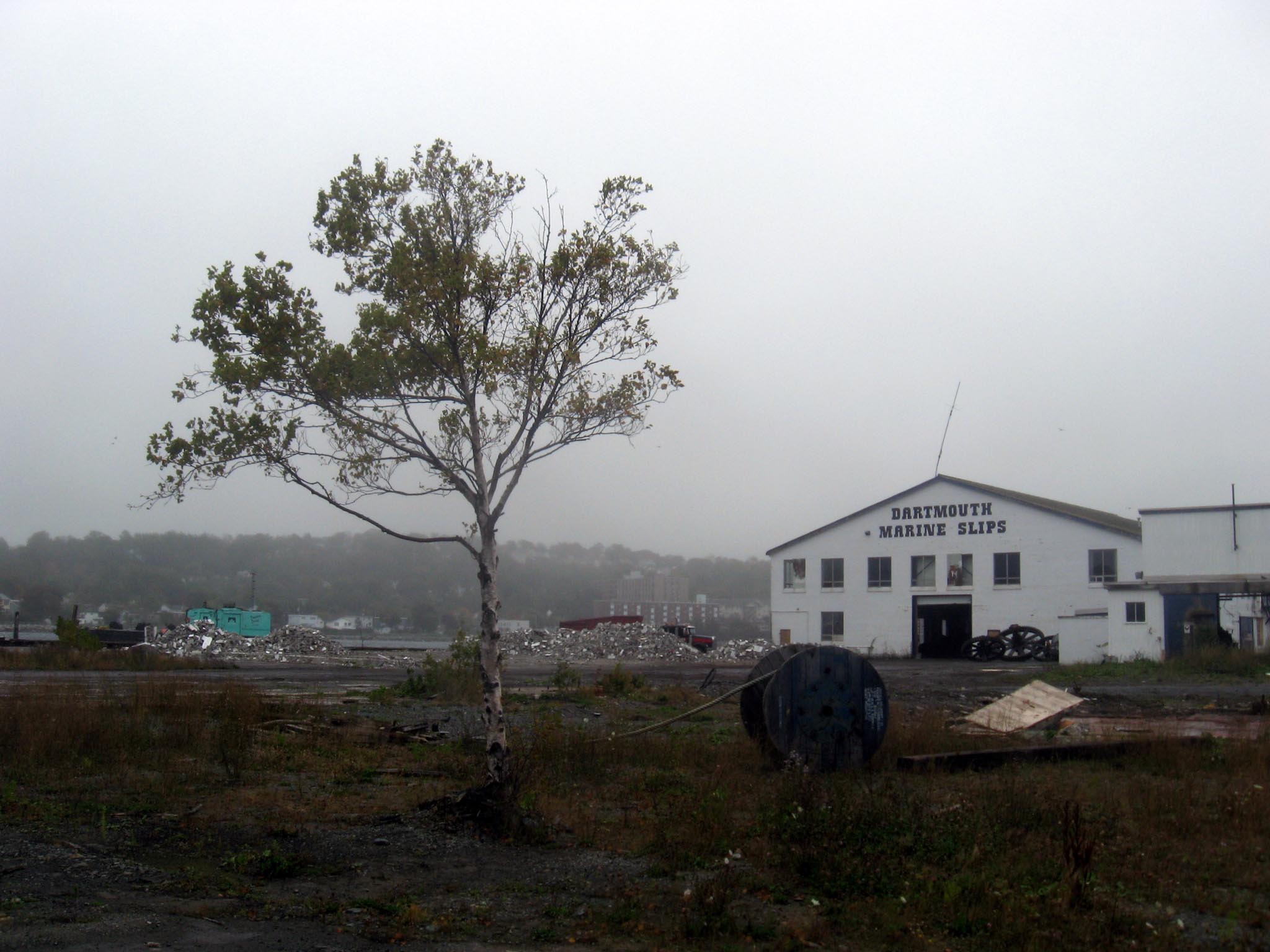
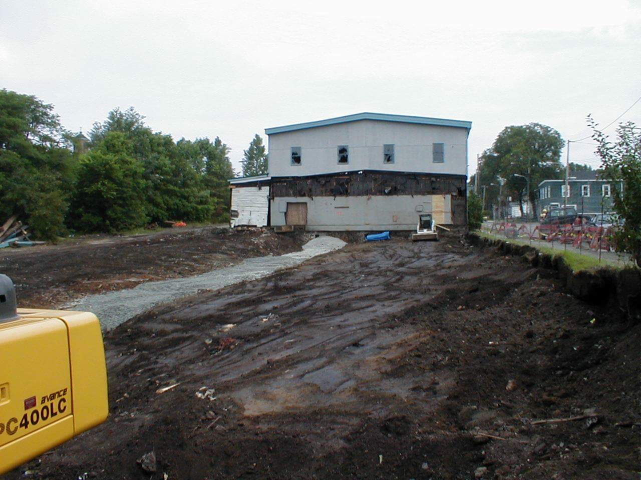
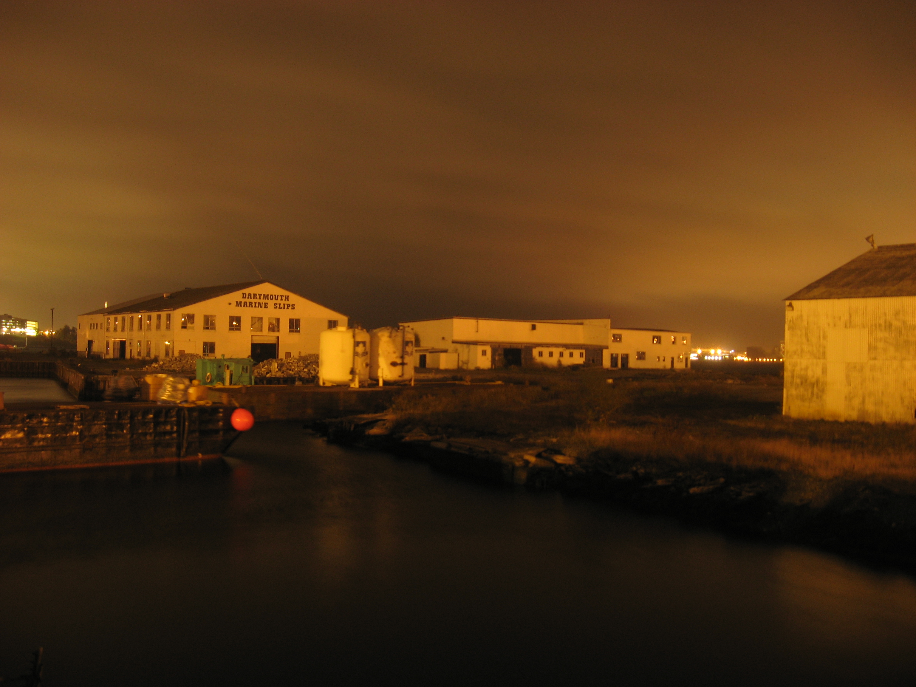
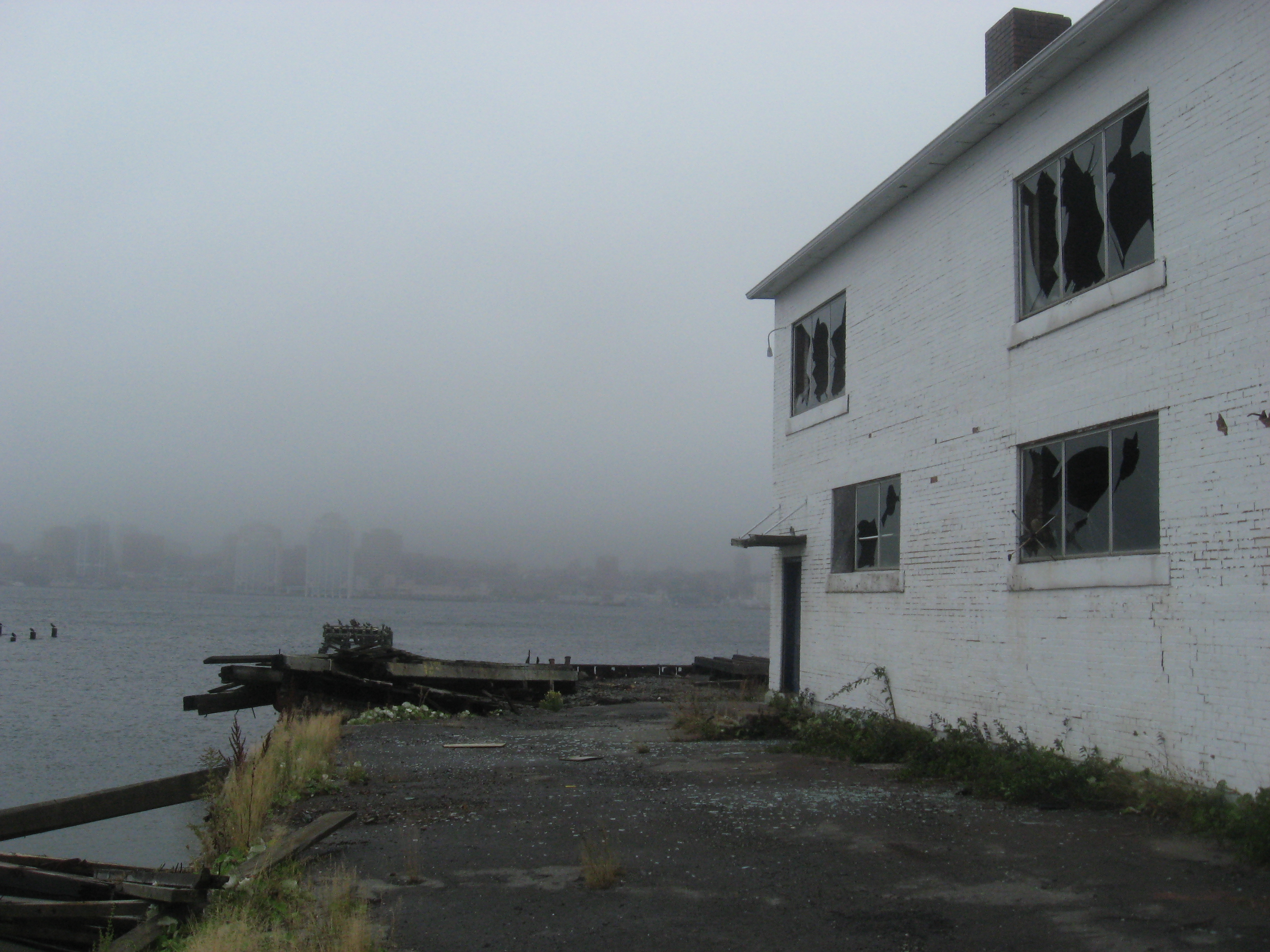
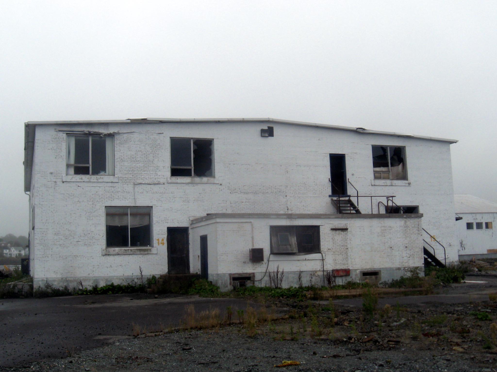
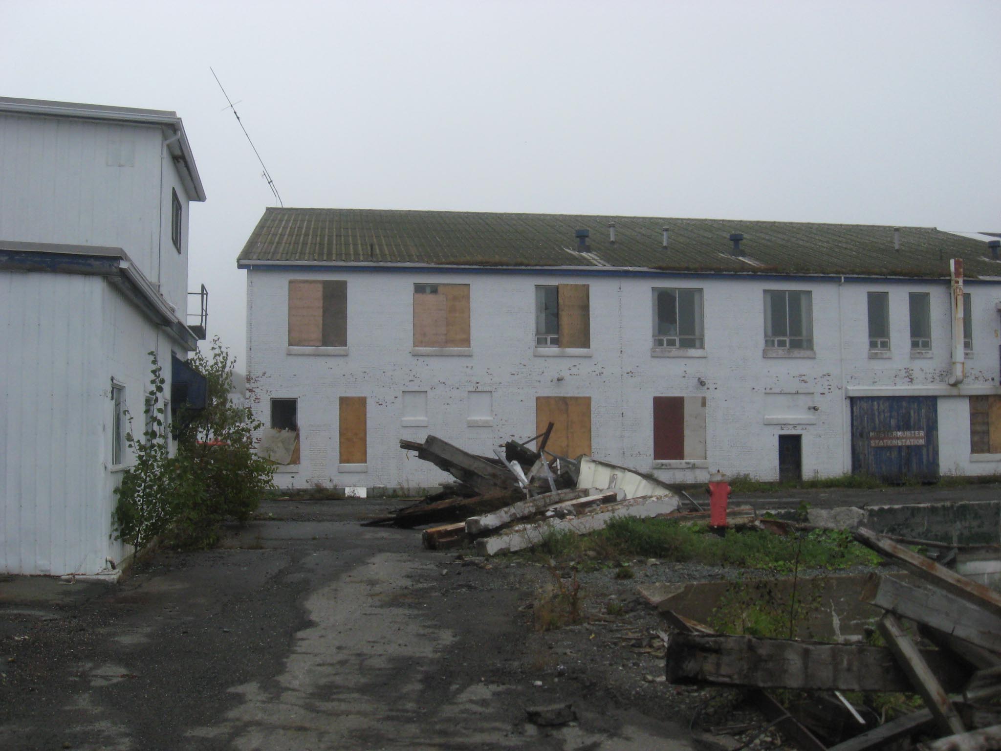
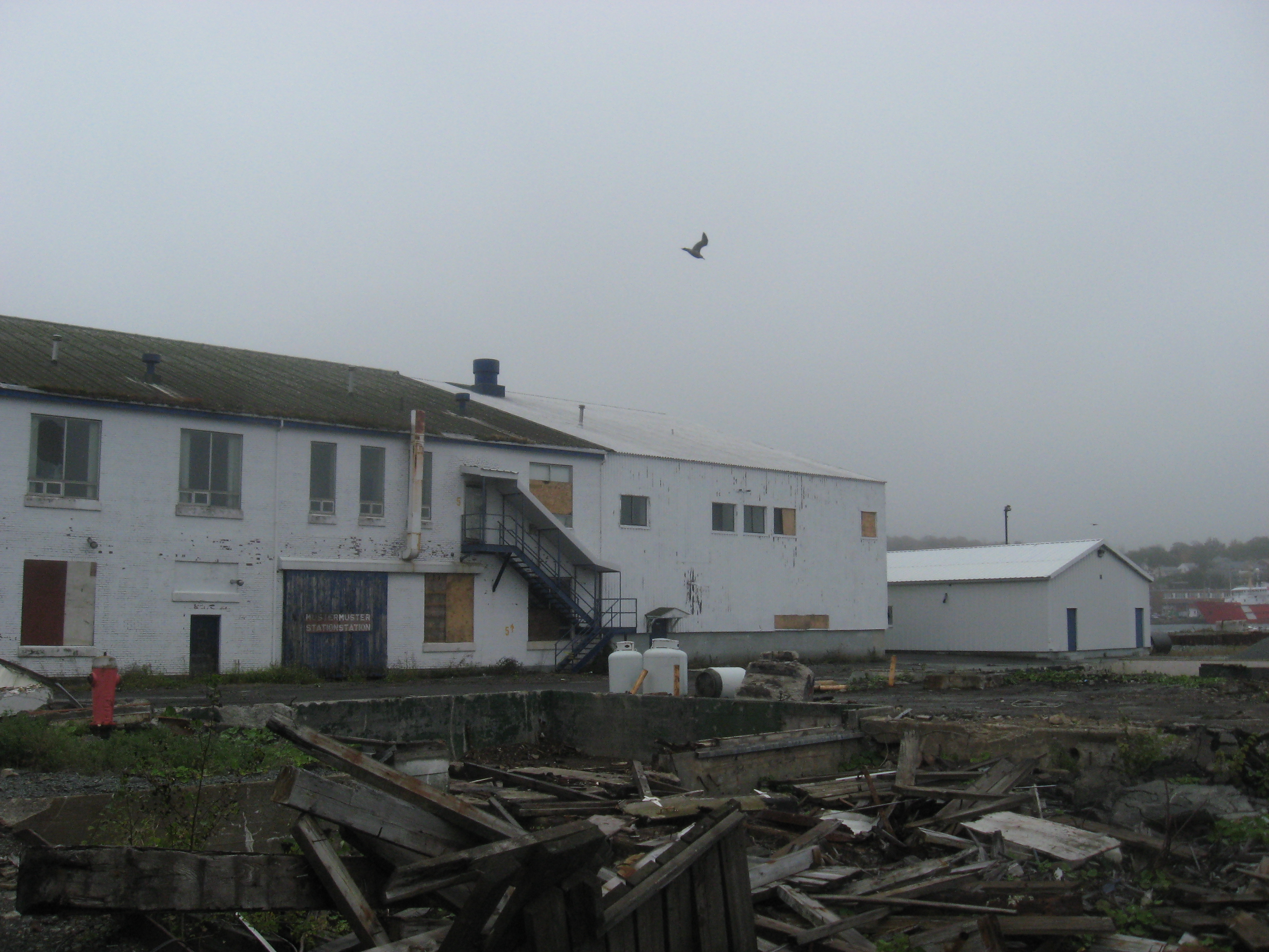
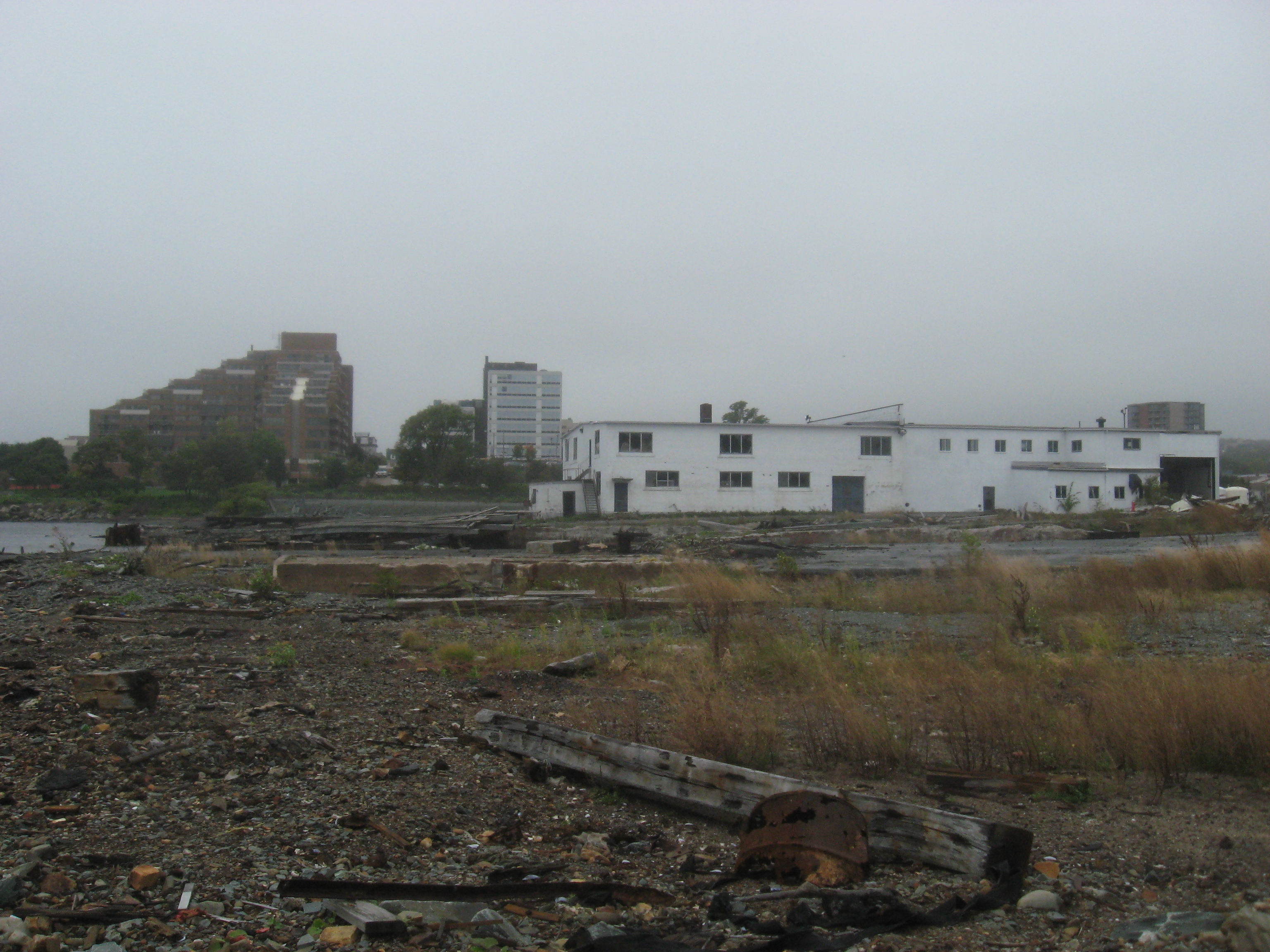
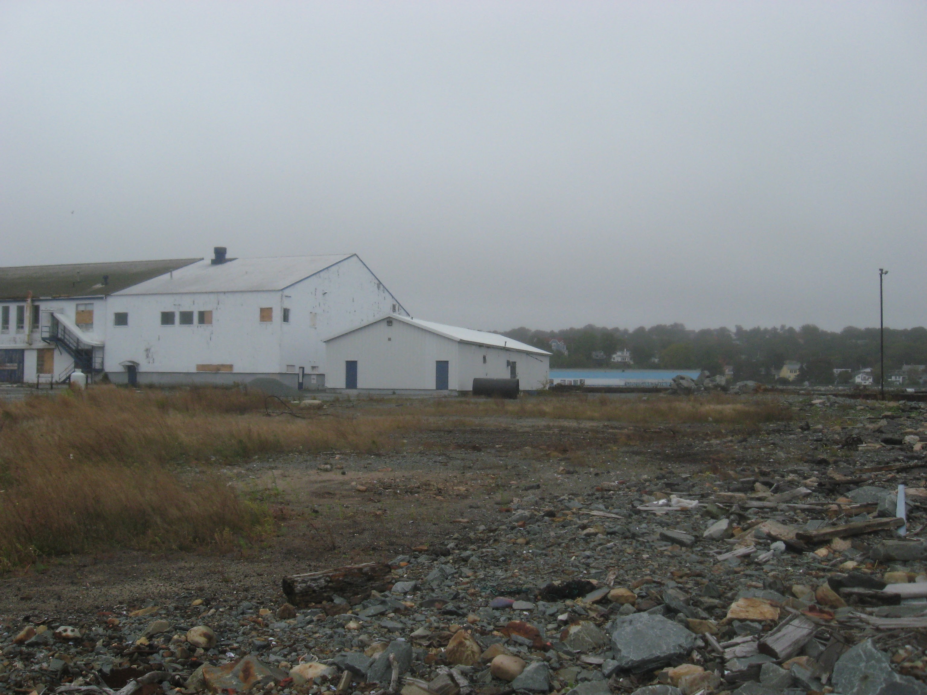
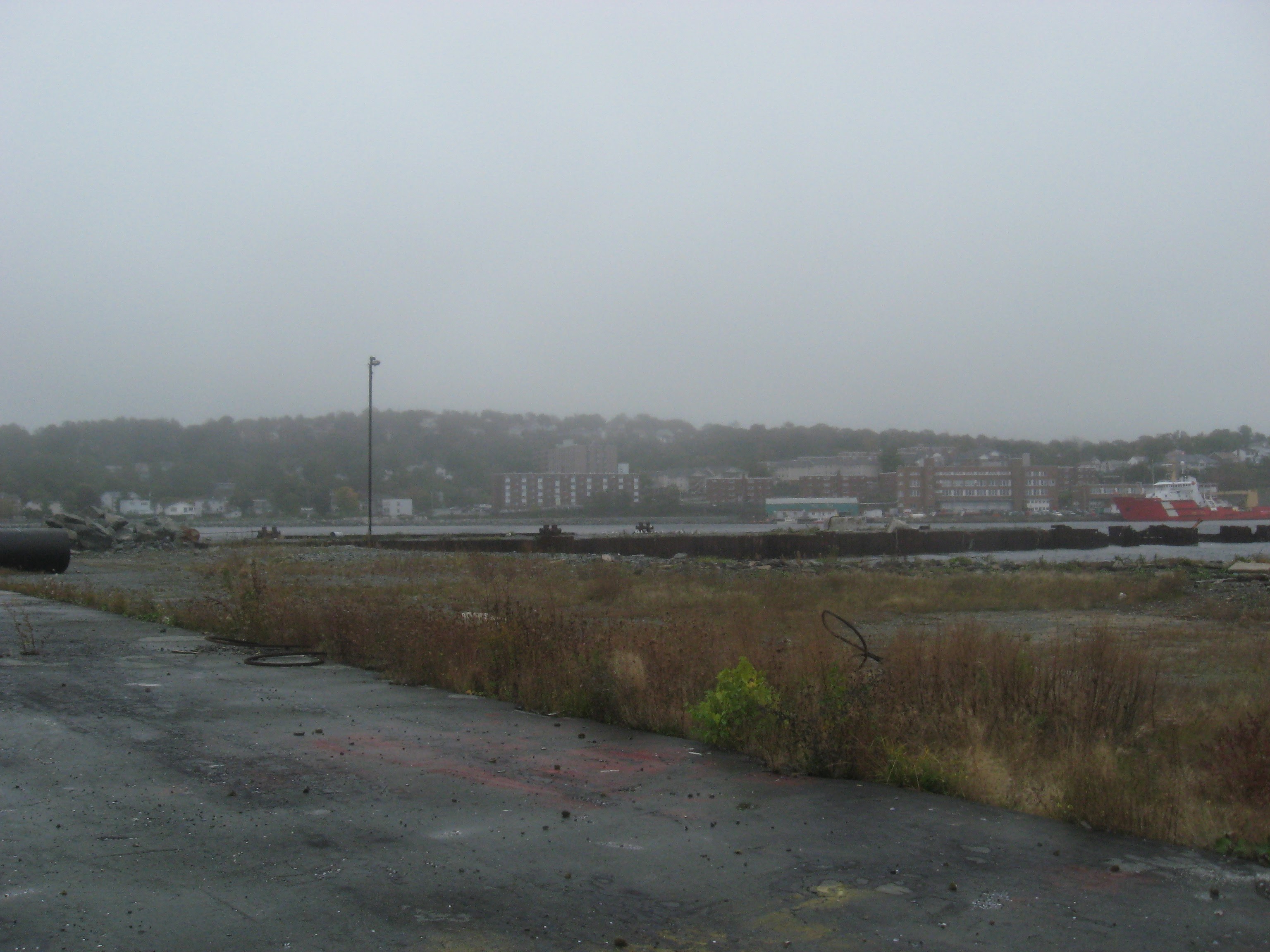
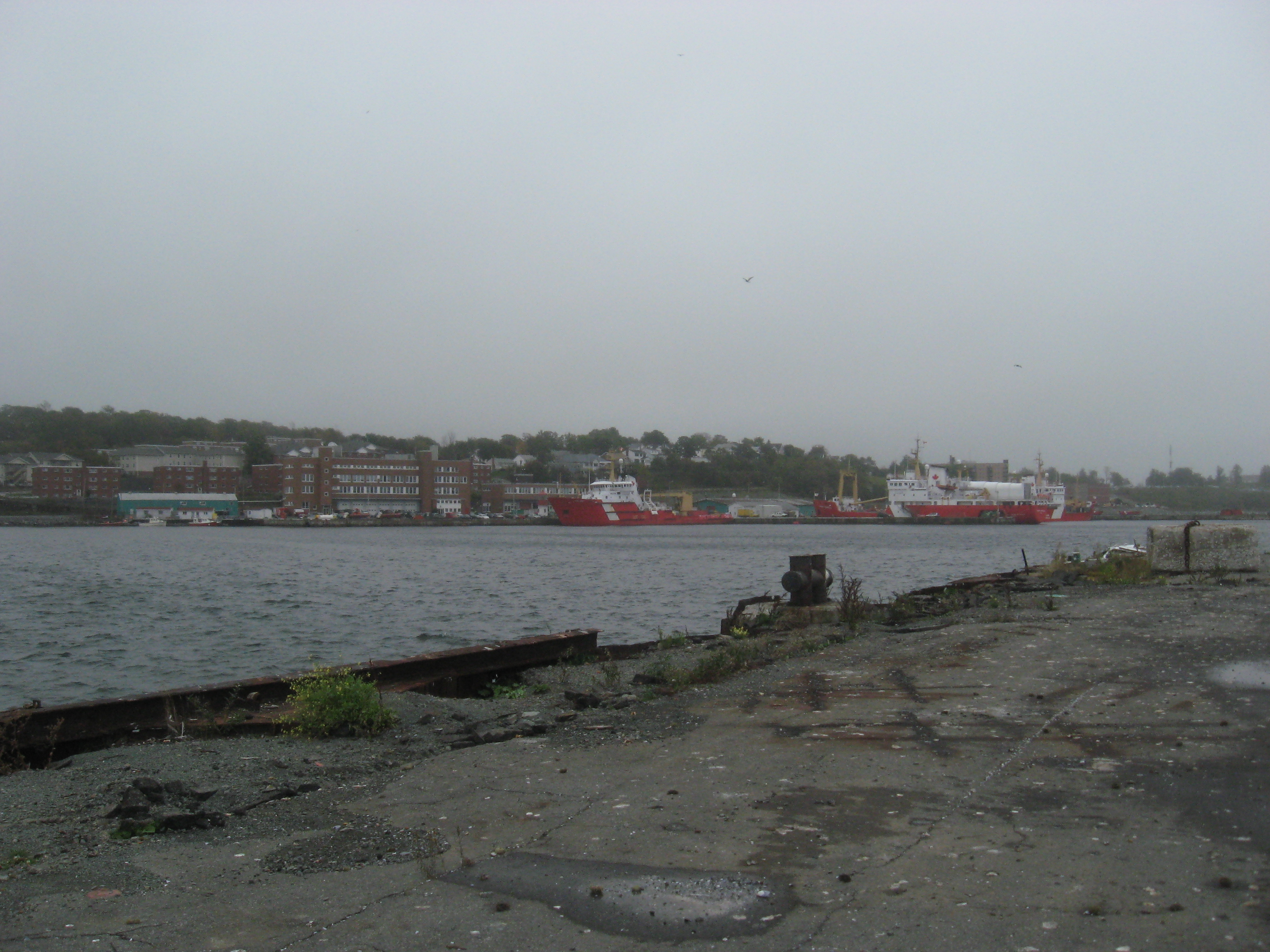
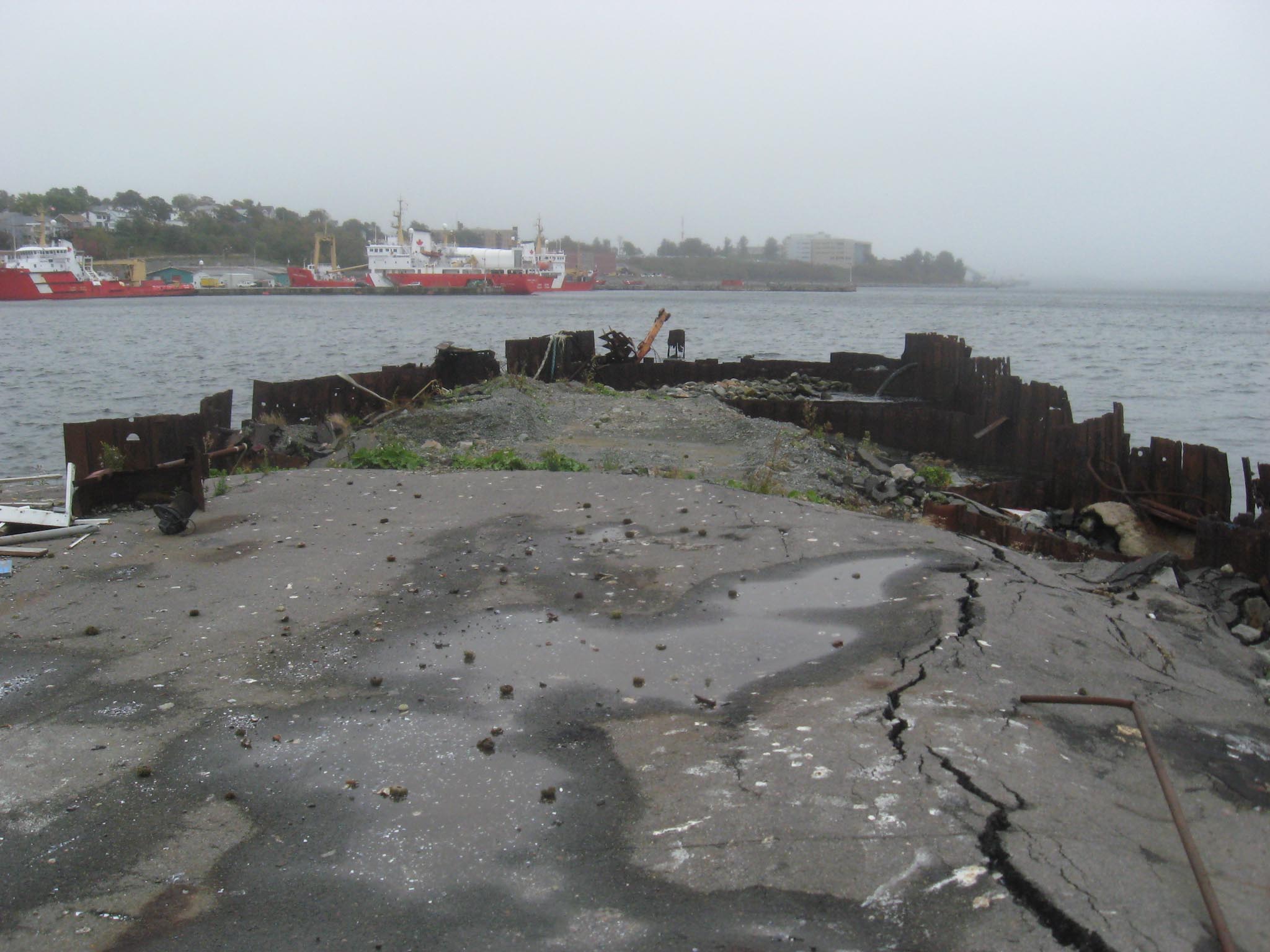
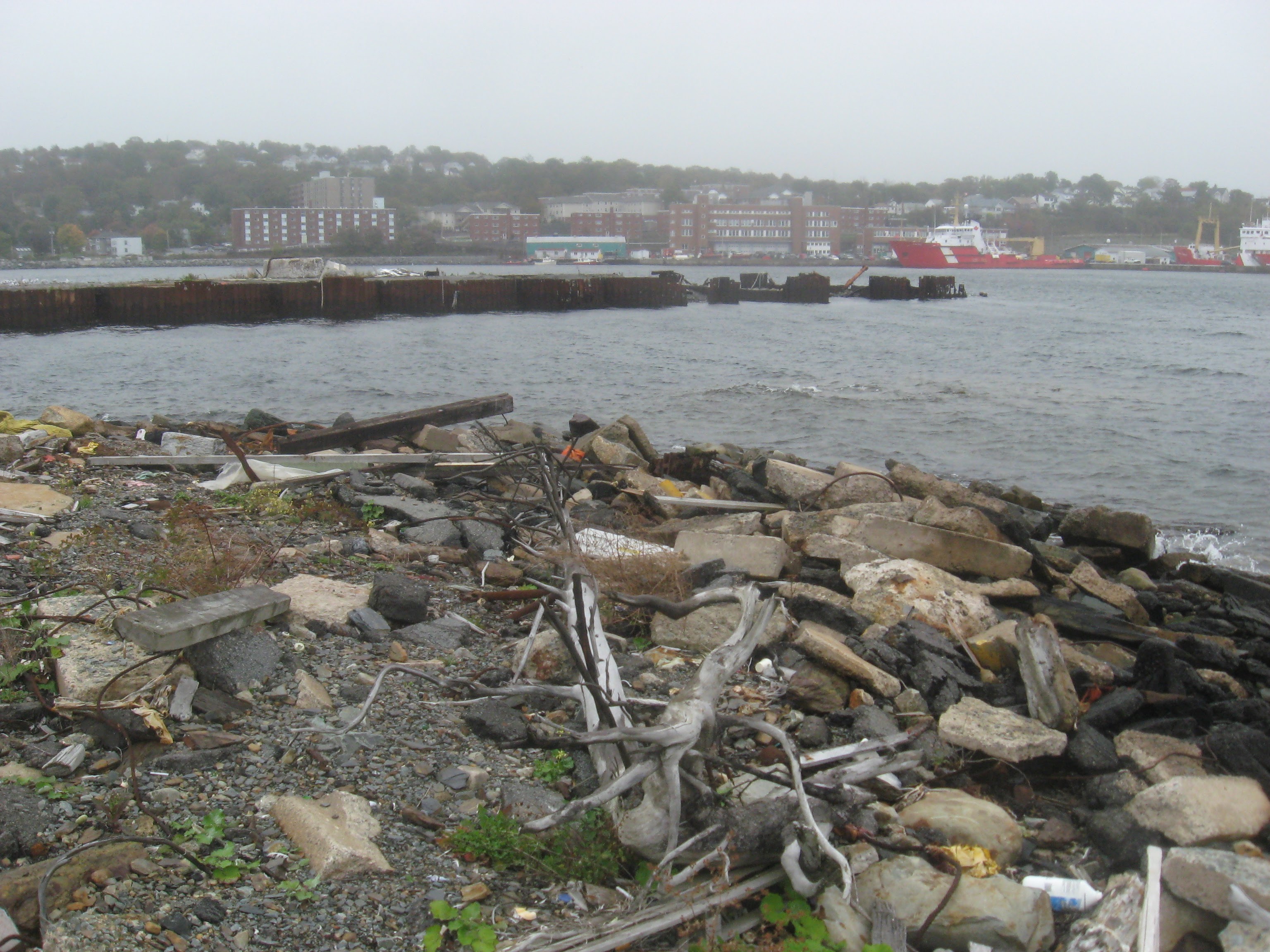
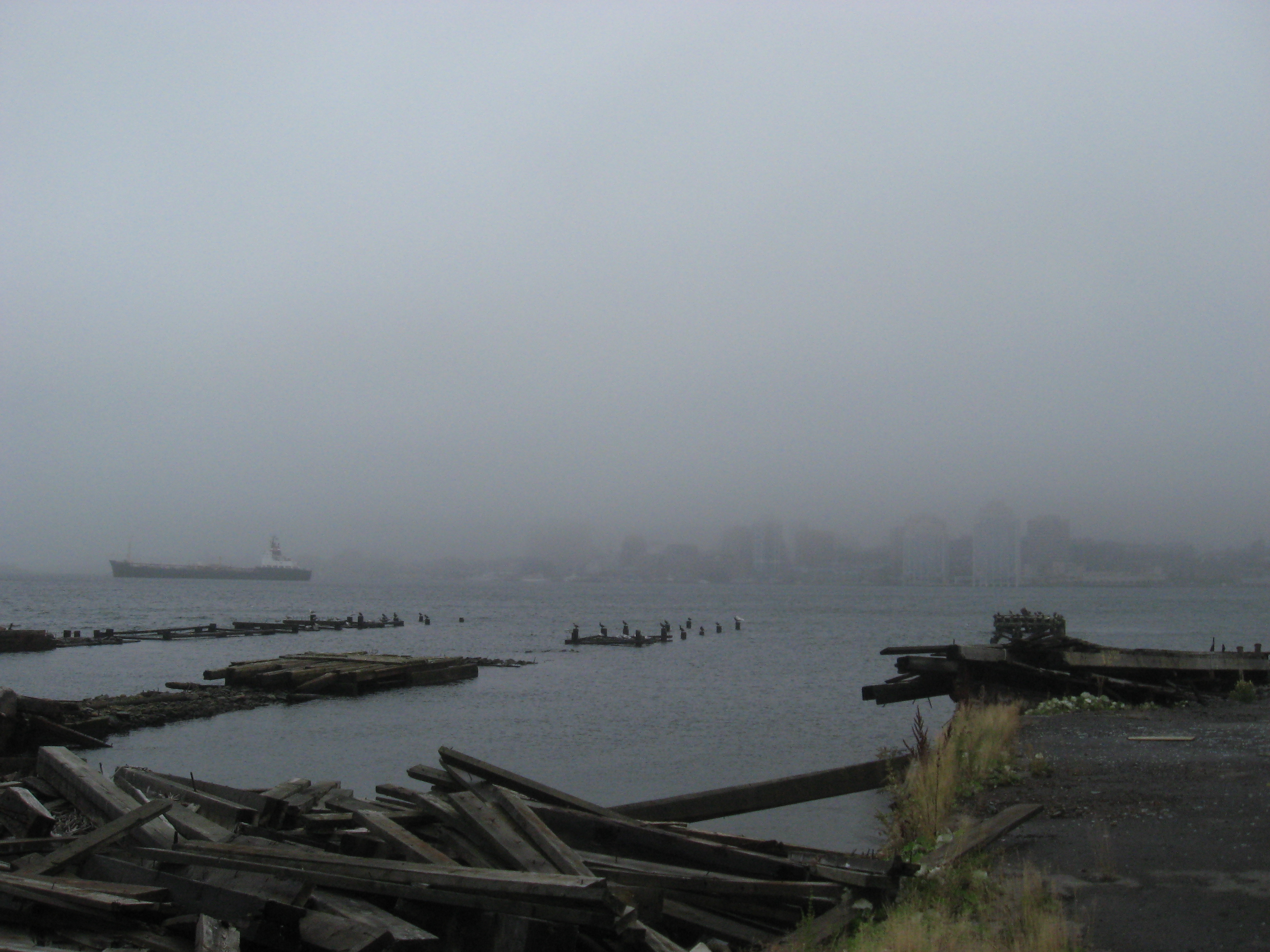
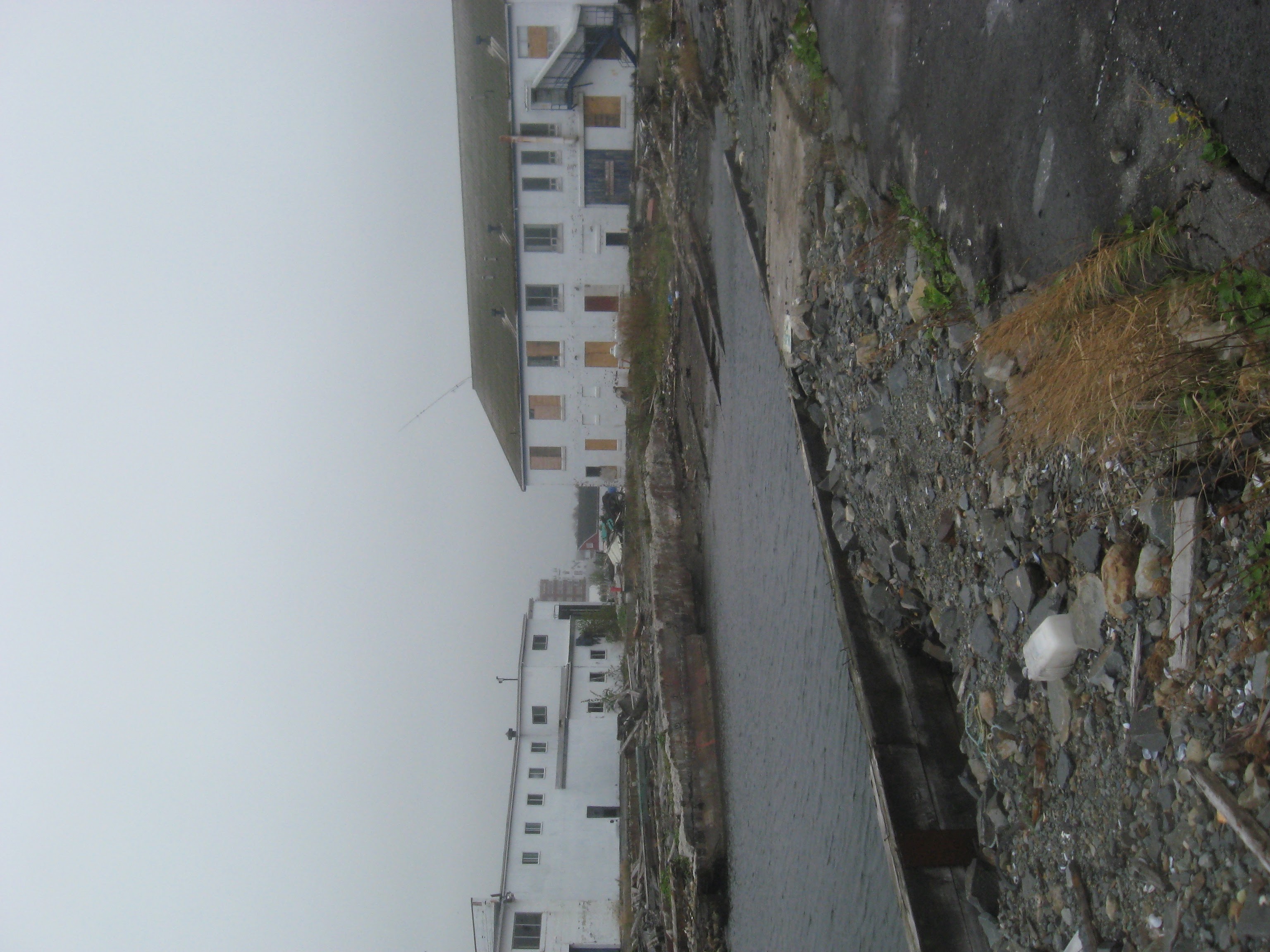
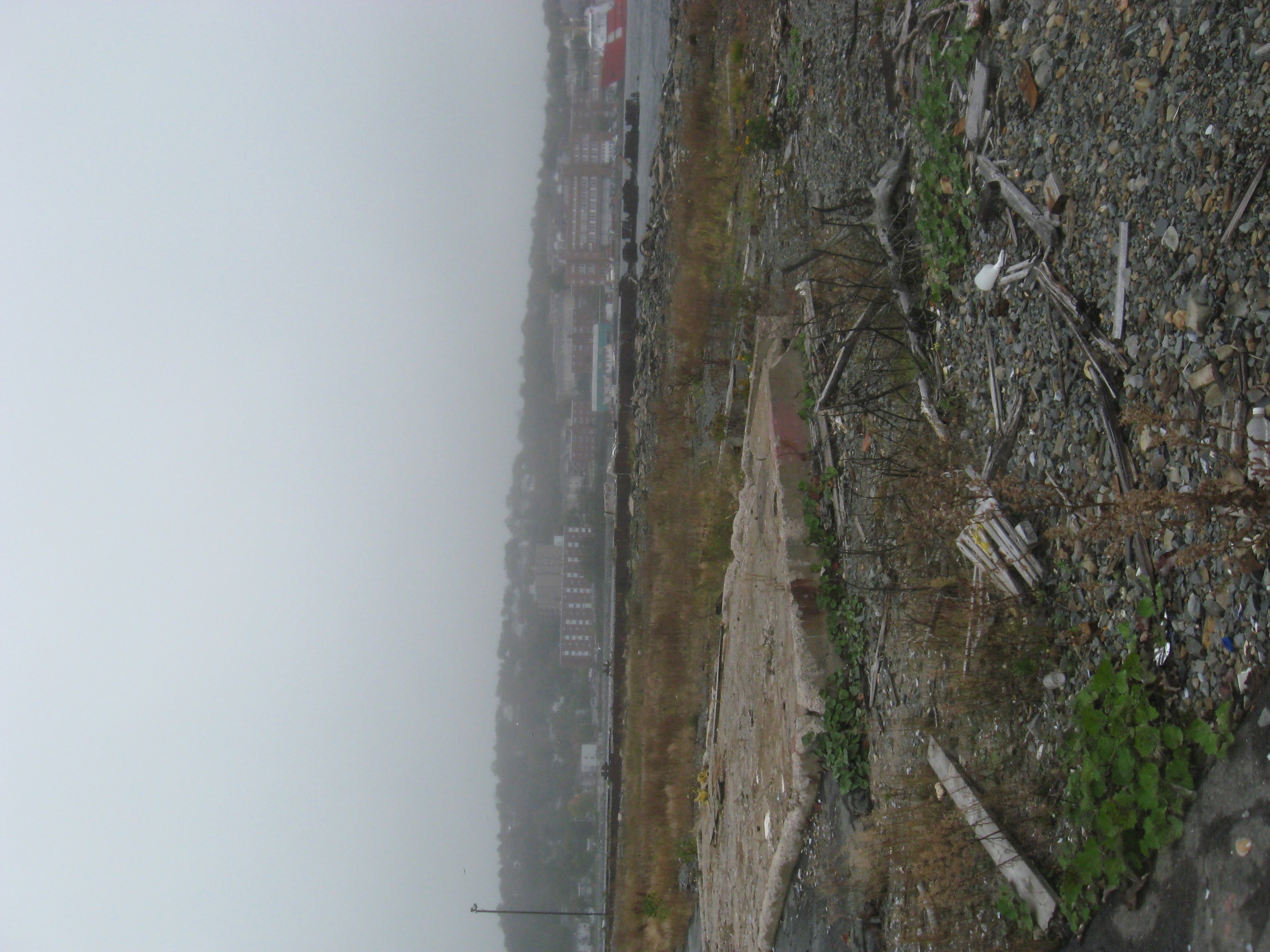
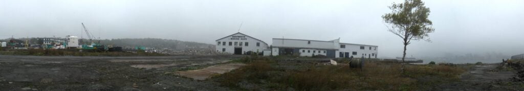
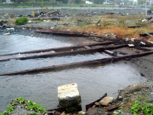
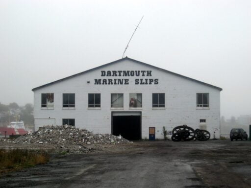
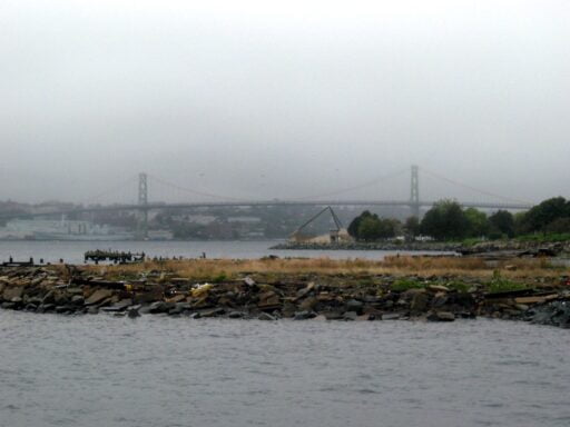
Taken shortly before demolition (October 12th-24th, 2007)

See also: