
Now “Founder’s corner”, at the corner of Wentworth and Ochterloney Streets.


Related posts:
- City of Dartmouth Police Station At the corner of Wentworth and Ochterloney Streets looking north east, land that has since passed into new hands and is now a residential building. Ochterloney Street between Dundas and Wentworth looking south, Town Hall was at left, Police Station...
- Five and dime Ochterloney, between Wentworth and King; Lahey’s at left, what used to be a corner store at center (Jean’s), shortly before demolition....
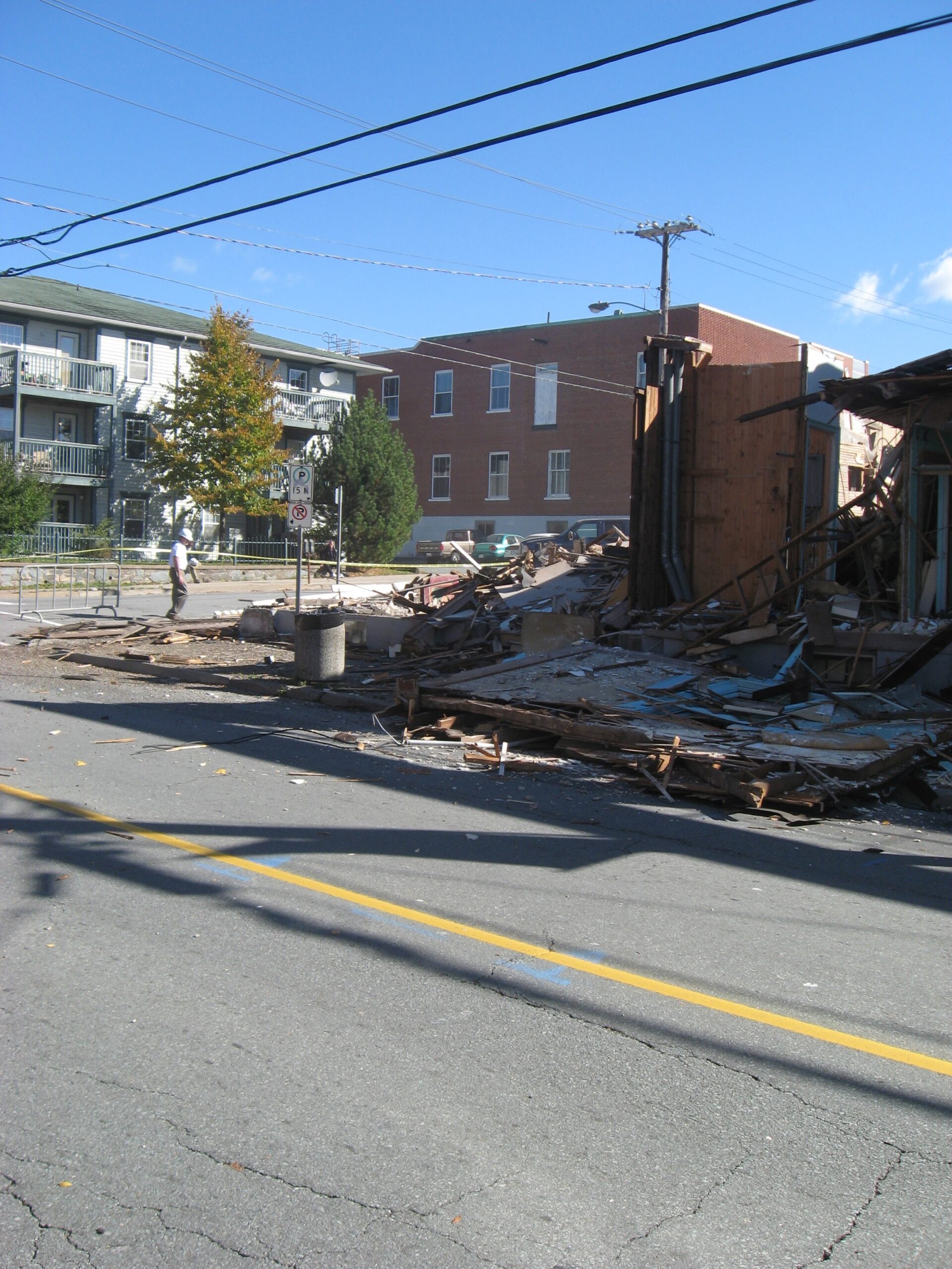
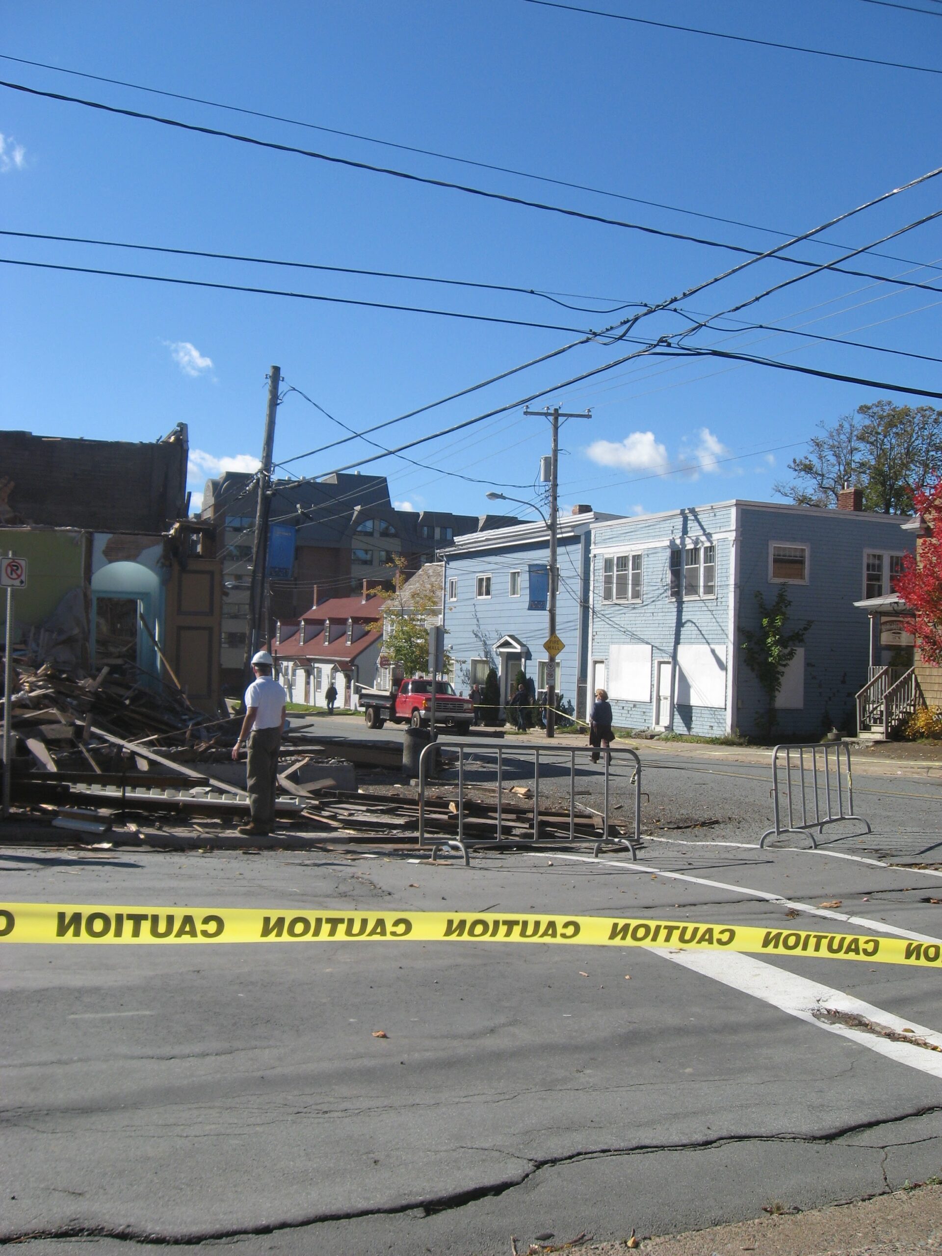
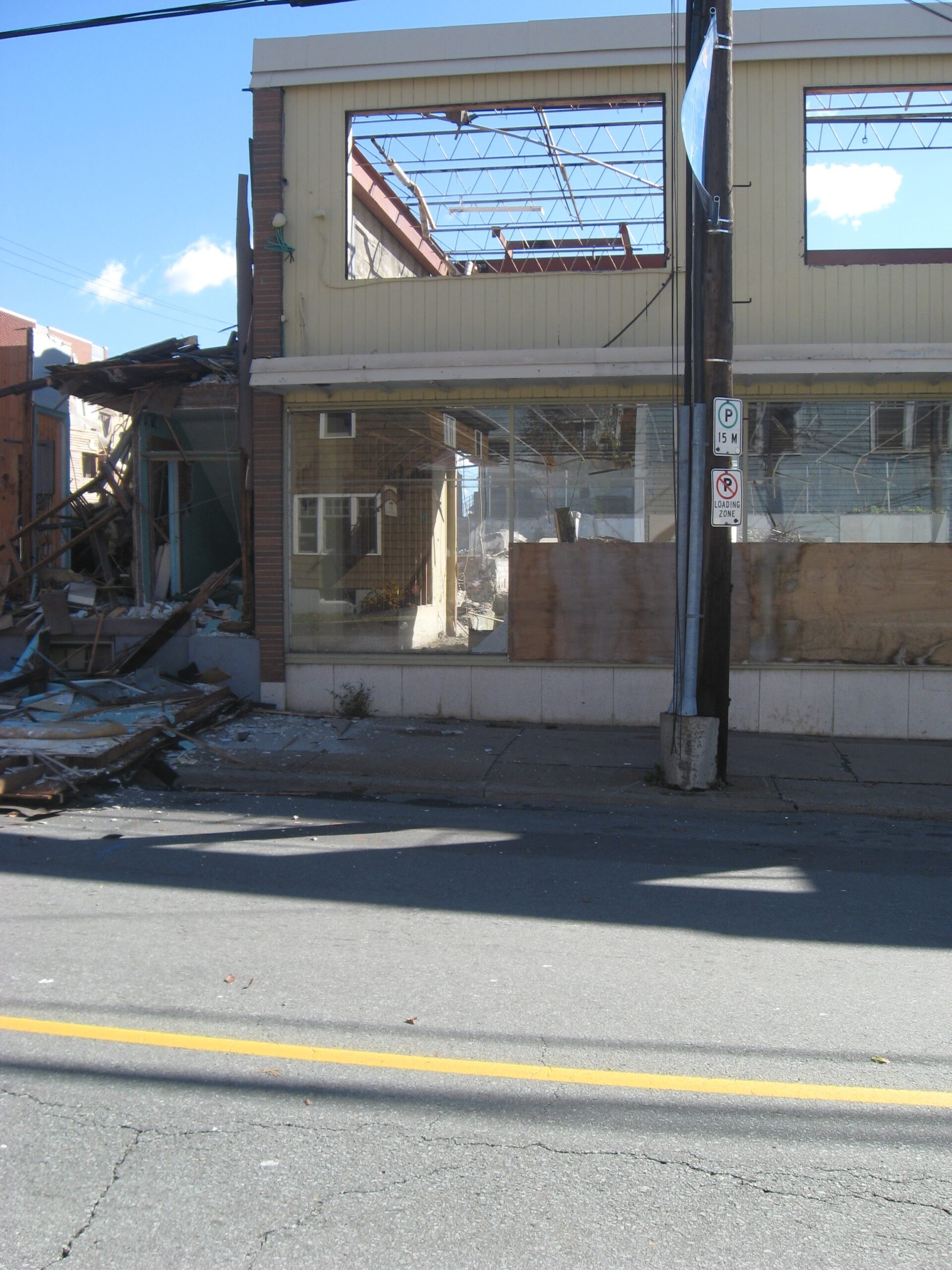
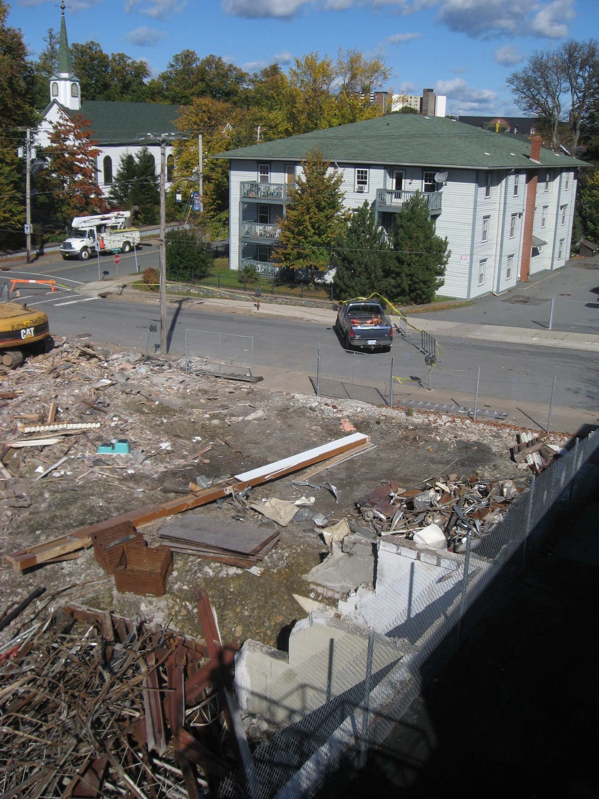
- Town of Dartmouth Police station As seen on Wentworth Street, prior to it being demolished in 2008 to make way for “Founder’s corner”, along with the Masonic Hall on the corner of Ochterloney Street, the rear of which is seen here. You can see the...
- 1874 From The Story of Dartmouth, by John P. Martin: In response to a memorial from the clergy early in 1874, a Committee of the Town Council recommended that liquor licenses be restricted to 10, and that the annual fee be...
- 1912 From The Story of Dartmouth, by John P. Martin: The Dartmouth Patriot newspaper removed from 85 Portland Street in 1912, and located at the present 48 Commercial Street in the building then vacated by C. E. Peveril when he closed...
- 1807 From The Story of Dartmouth, by John P. Martin: On Wednesday, March 11, 1807, Christian Bartlin and Alexander McDonald were drowned by the oversetting of their boat as they were returning home from Halifax. (This man may have been a...
- From John Adams to Boston Patriot, 6 September 1810 “I requested him, between him and me, without saying any thing of it to the ministry, to consider whether we could ever have a real peace, with Canada or Nova Scotia in the hands of the English? and whether we...
- Water Street and Portland Street, 1880s From The Story of Dartmouth, by John P. Martin: This picture shows Water Street at the intersection of Portland Street, taken in the 1880s. The McDonald building, where the emergency hospital was set up in 1848, is the tall pitch-roof...
- A Tourist Map of Dartmouth (1939) Of note at #25, an RCMP detachment within the Town on Prince Albert Road (perhaps at number 159?), as opposed to #24 on the map, the “Civil police”, located at Wentworth and Ochterloney. “Tourist Map of Dartmouth”, 1939. https://memoryns.ca/a-tourist-map-of-dartmouth...
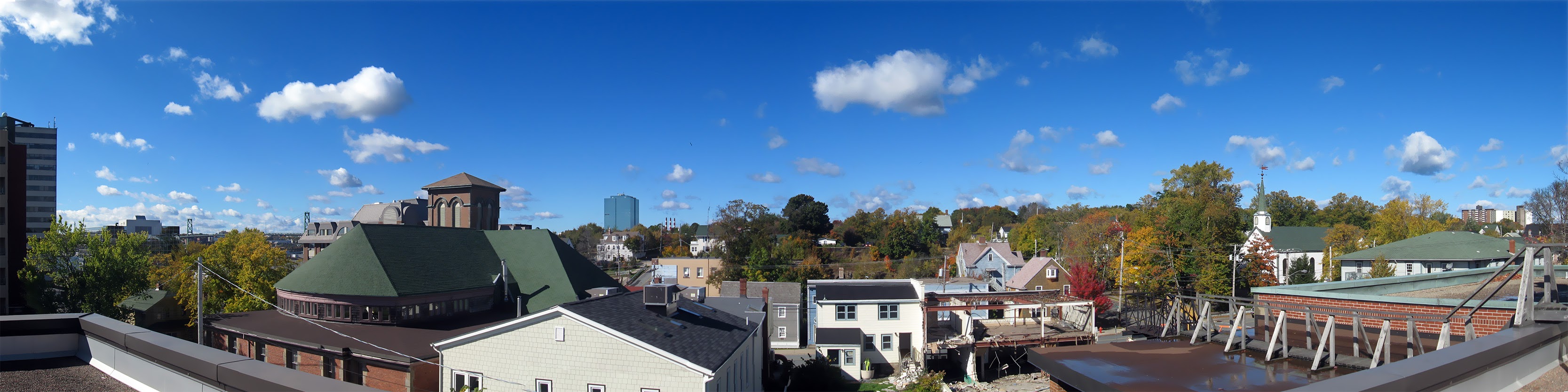
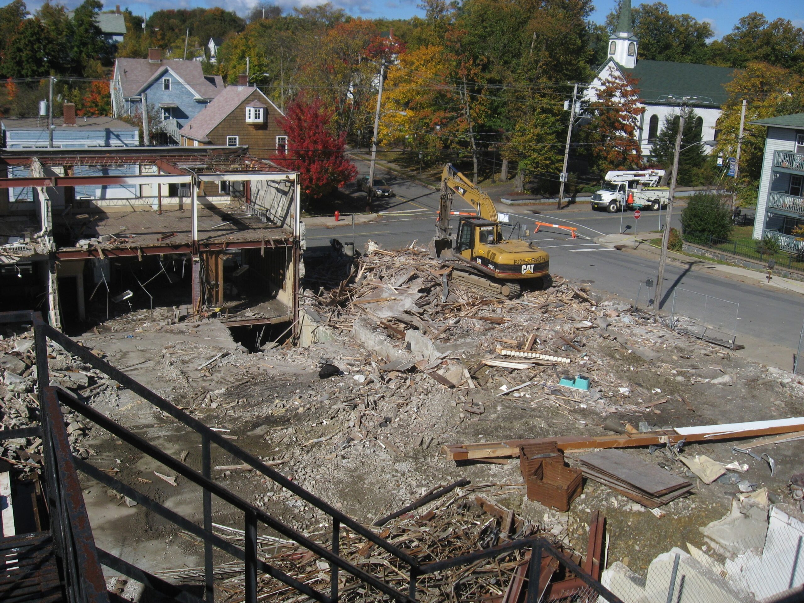
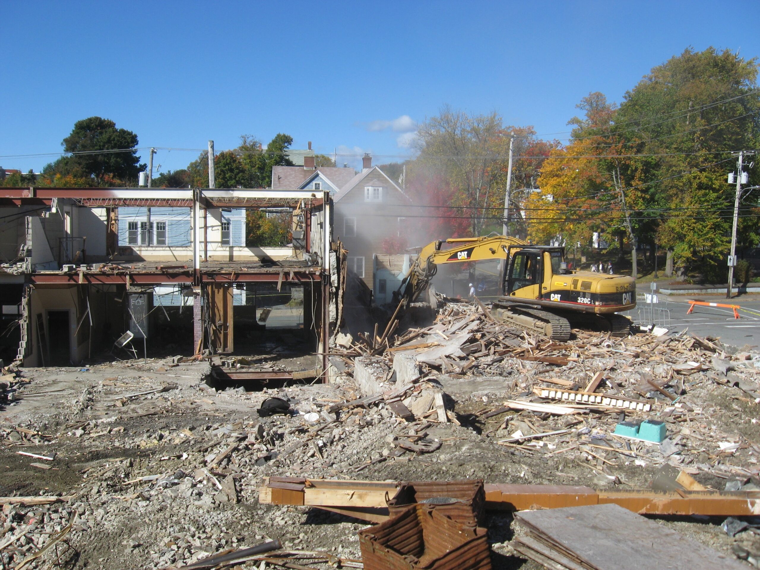
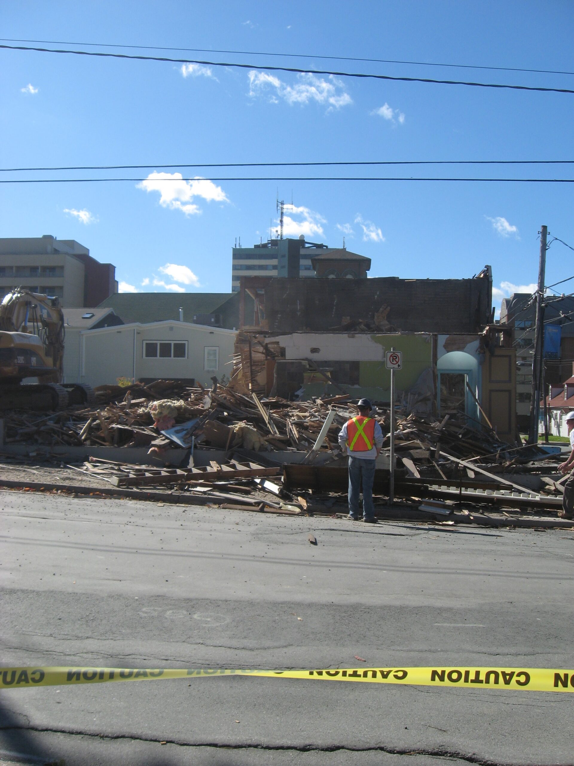
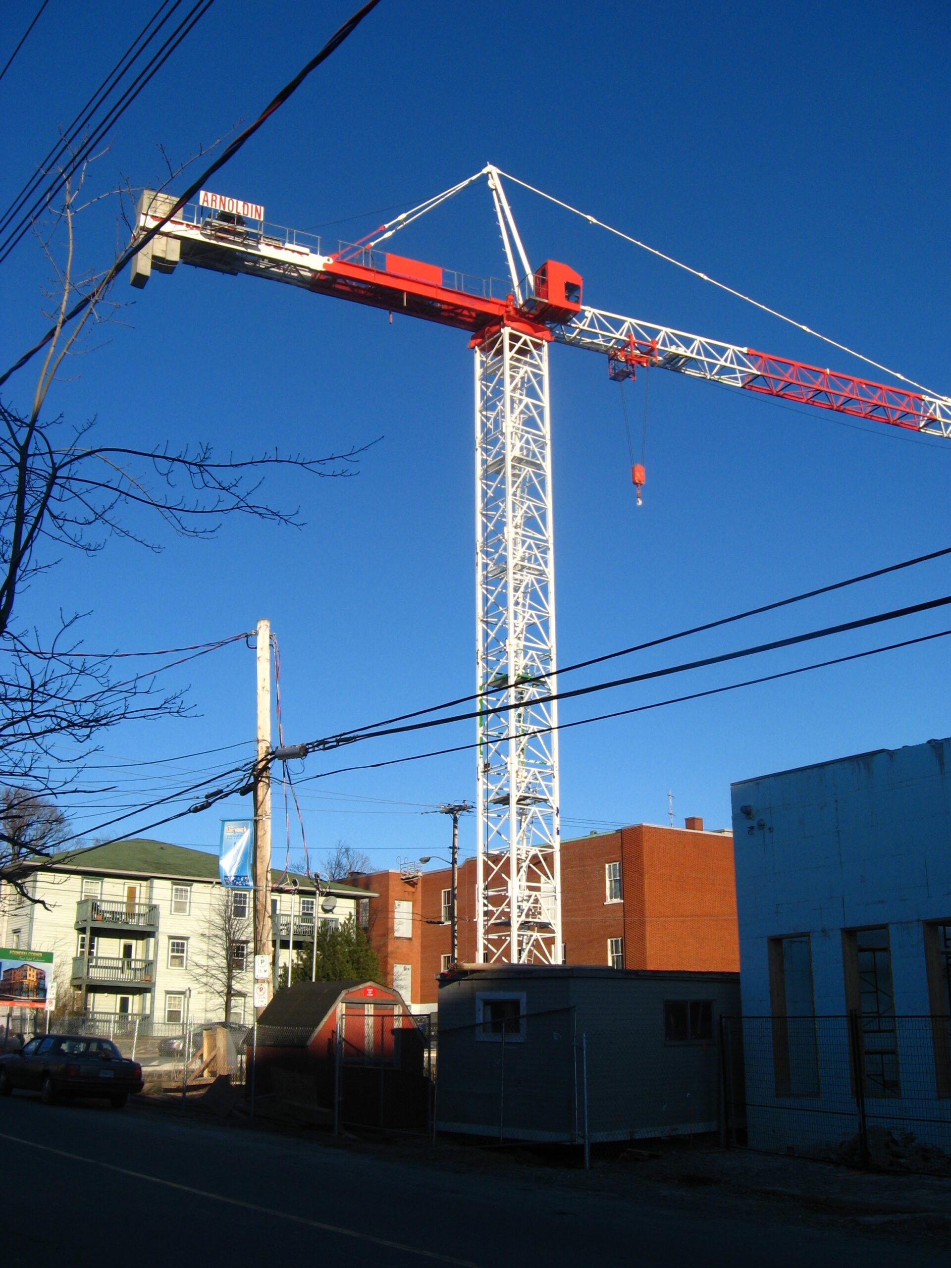
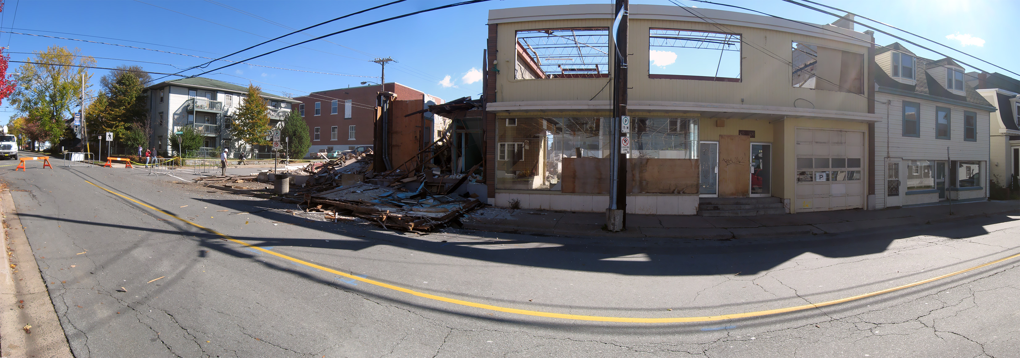
- Tim Horton’s demolition ...