Safeguarding “The Frog Pond”: London West and the Resistance to Municipal Amalgamation 1883–1897

…their own right and not simply undifferentiated adjuncts that craved amalgamation with their urban neighbours.” Published in Urban History Review-revue D Histoire Urbaine | Gregory Stott | 2000, https://www.semanticscholar.org/paper/Safeguarding-%E2%80%9CThe-Frog-Pond%E2%80%9D%3A-London-West-and-the-Stott/d503dde2ed0b33d5c8ccd9b7c564fbb8f2ea483a, https://consensus.app/details/while-decision-join-city-1897-based-upon-villages-stott/aad706bb780b5cc89843e88fd3158187/…

1839

…house with a large verandah. The place was kept by Mrs. Manning, who also ran a dancing school there. From “Bush Inn” to Sullivan’s Pond was fields and woods with…

Maple Street at Ochterloney

Old St. Peter’s Church seen at the far left, at far right is the circular Dam at Sullivan’s Pond. https://archives.novascotia.ca/eastcoastport/archives/?ID=1632…

Starr Manufacturing

Starr Manufacturing

…Prince Albert at extreme right Looking South towards Pleasant Street (out of frame at left) Looking north towards Sullivan’s Pond Looking north-east towards Prince Albert Road, inclined plane at left…

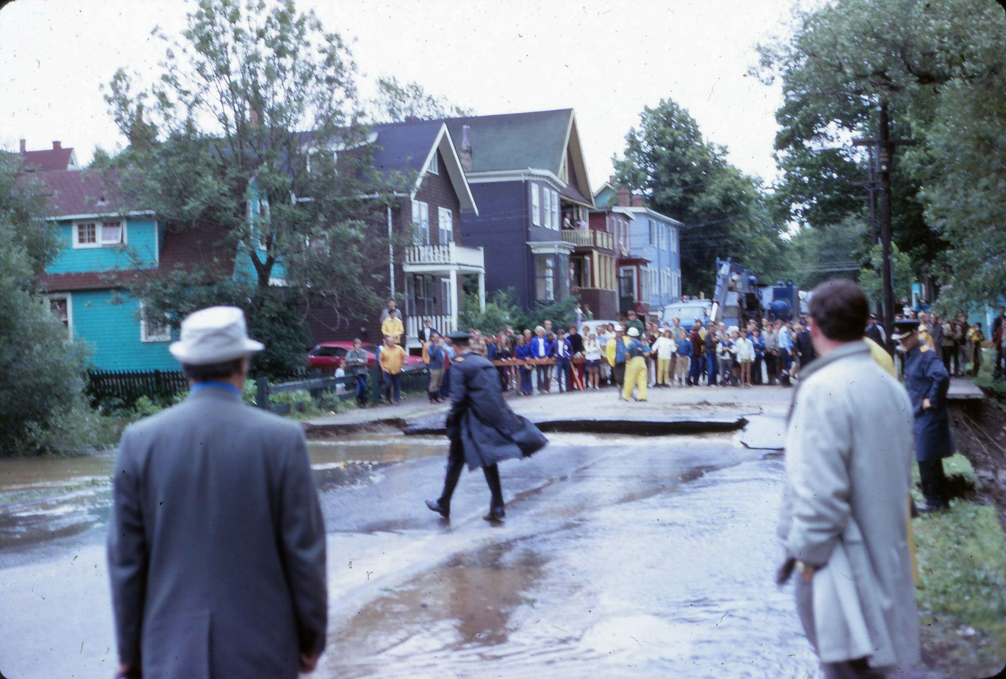
Dartmouth flood

flood

The results of an unwelcome guest, Hurricane Beth, in August of 1971. Portland at Alderney as seen from Pine Street at Queen Pine at Ochterloney Pine at Ochterloney Sullivan’s Pond

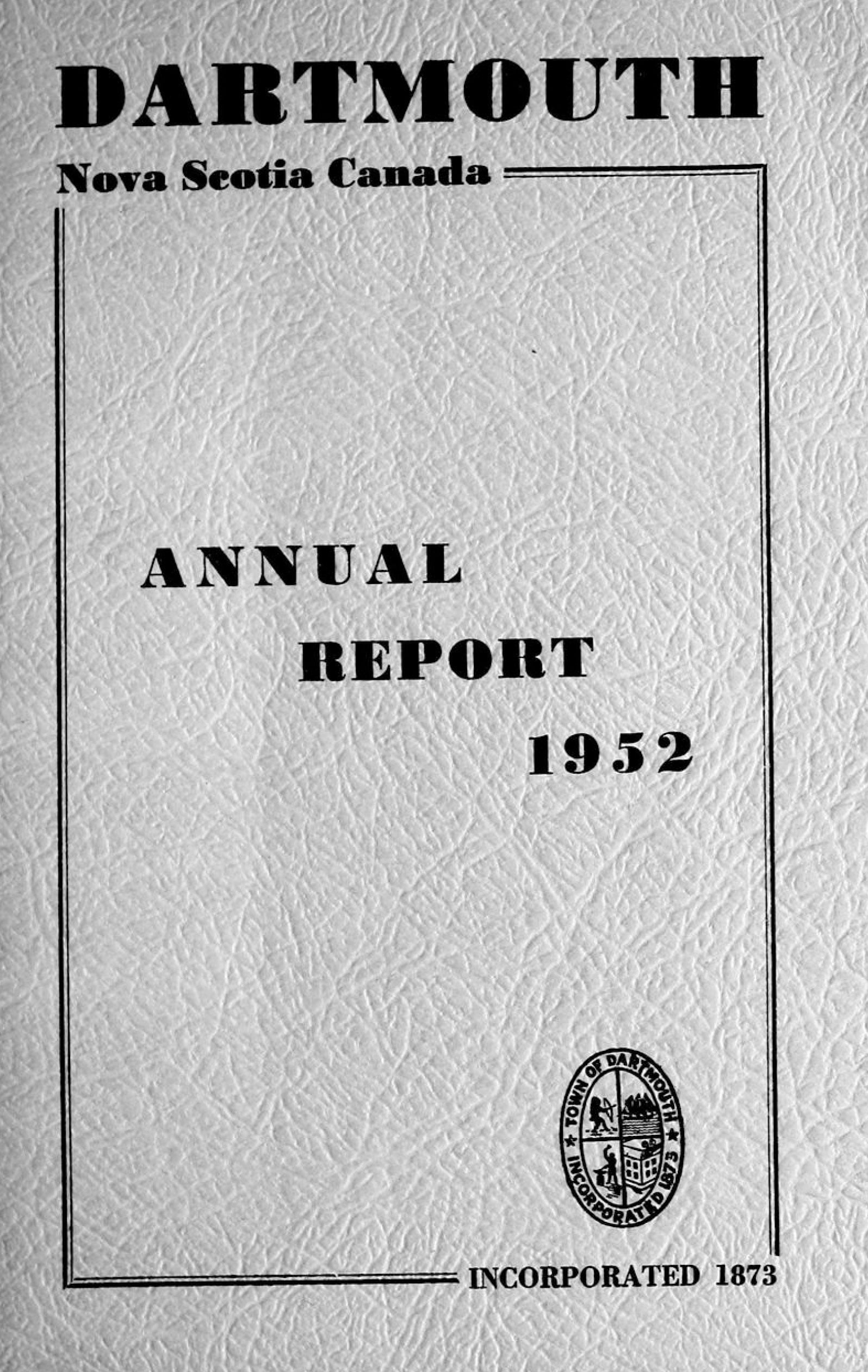
Annual Report 1952

1952-1

Citizens of Dartmouth, Ladies and Gentlemen: I have the honor to submit my report and comments on the civic events of 1952. Dartmouth continued to march forward during 1952 but…

1815

…larger block of 77 acres commenced near the foot of Sullivan’s Pond and included land on both sides of Prince Albert Road over Sinclair Street hills to Christian Bartlin’s line…

1828

…during the day”. The route of the Canal from Sullivan’s Pond to the harbor, seems to have been changed about this time. As already stated, the Maitland Street terminus was…

Page 3 of 7
1 2 3 4 5 6 7