
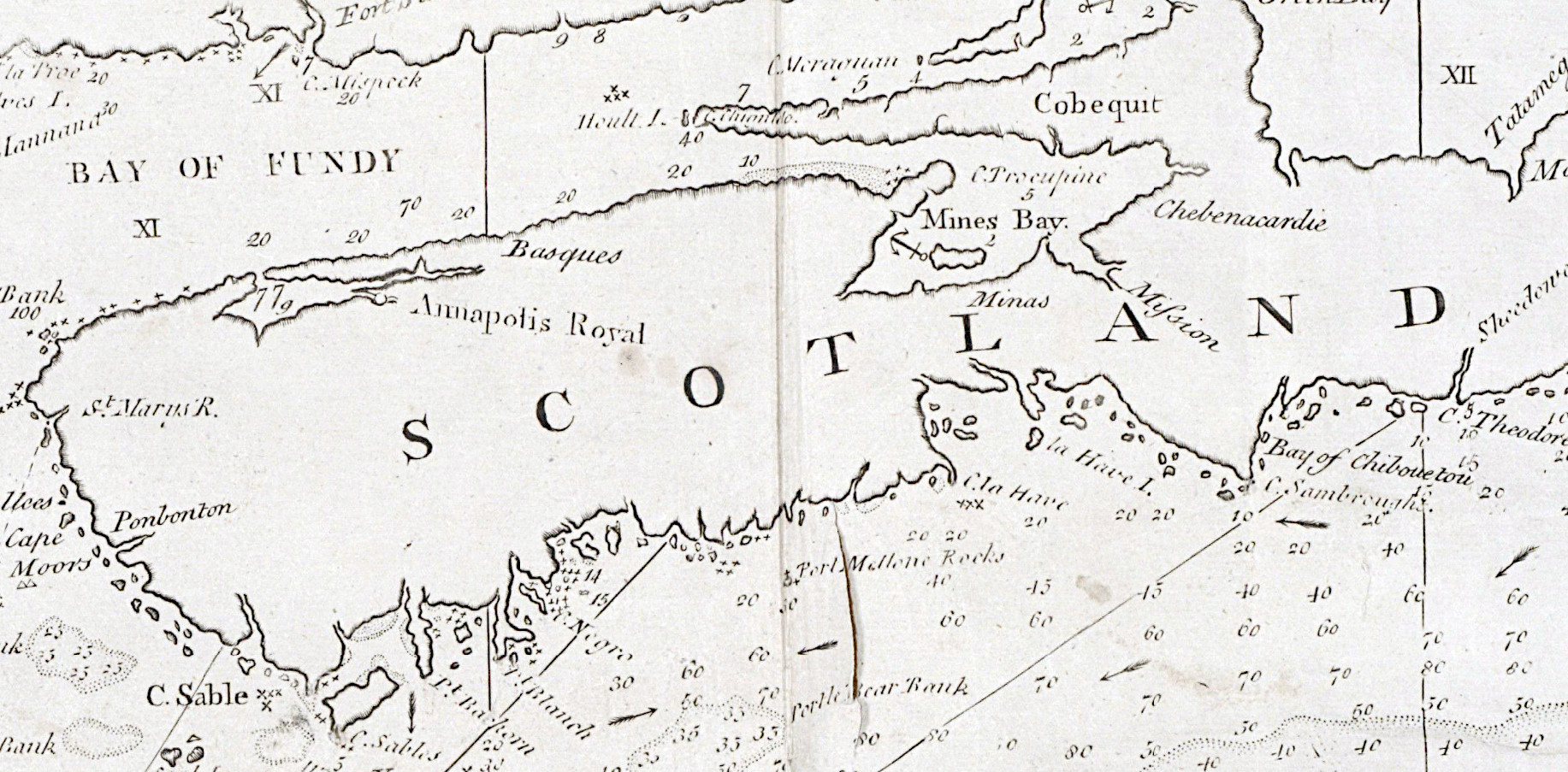
“New Scotland”, “Annapolis Royal”.
“A large fold-out chart of the New England coast appeared from 1732 to 1760 in “The English Pilot, The Fourth Book”, the standard 18th-century British navigational guide to American waters … Reduced from a chart published in 1729 by Boston ship captain and America’s earliest chart maker Cyprian Southack, this particular chart shows the northeastern coast from Long Island to New Scotland (Nova Scotia).”
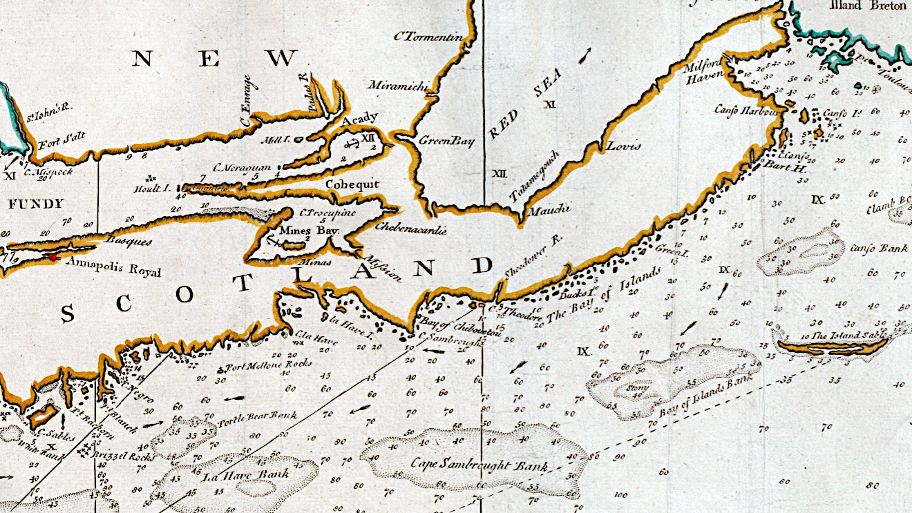
“A correct map of the coast of New England” Page, Thomas, d. 1733, bookseller. Printed for W. and J. Mount, T. Page and son, on Tower-Hill, MDCCLX [1760] https://collections.leventhalmap.org/search/commonwealth:cj82m0337, https://collections.library.yale.edu/catalog/2046866