
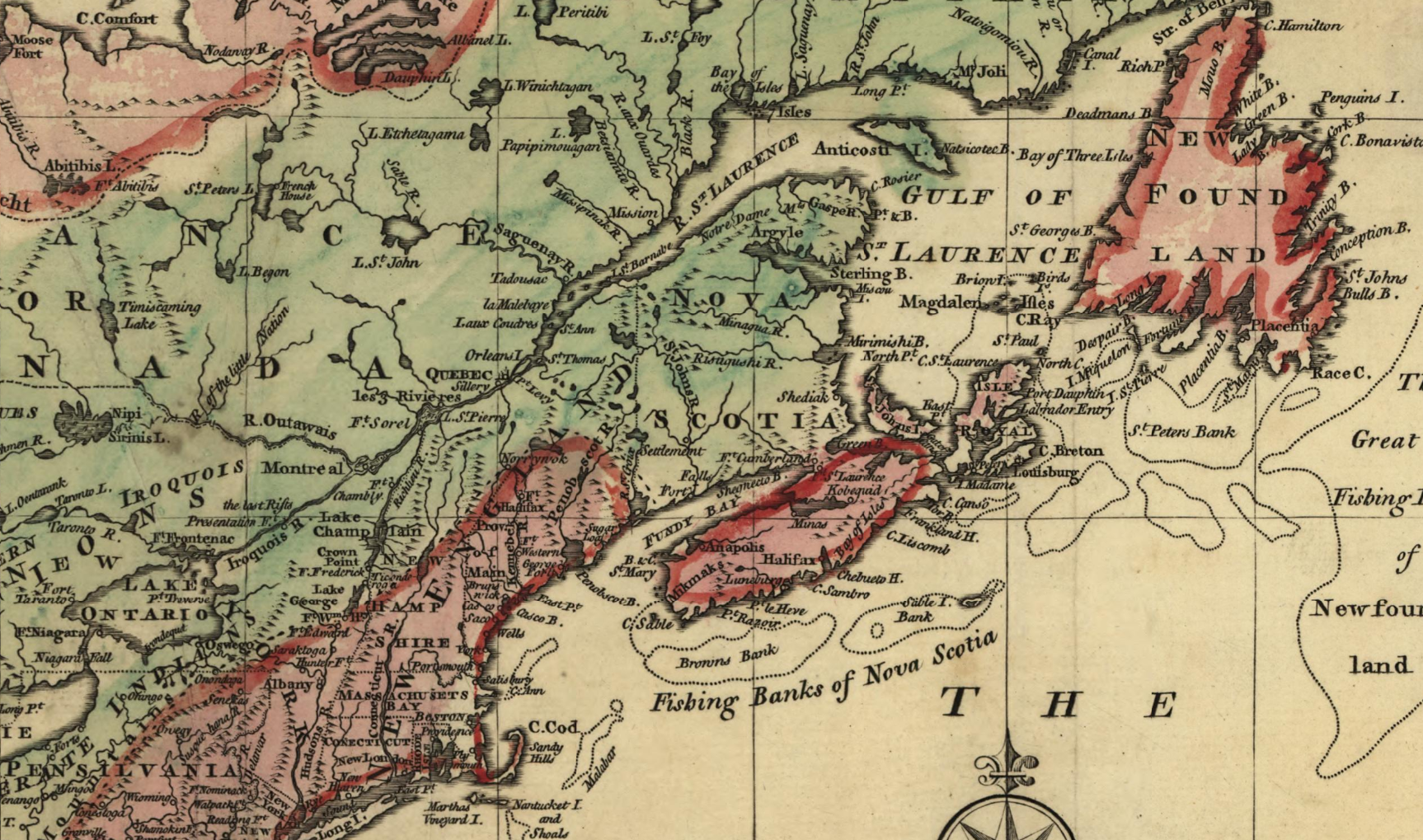
A New map of North America from the latest discoveries. [London, 1763] Map. Retrieved from the Library of Congress, www.loc.gov/item/75693984/.
Related posts:
- A new and accurate map of North America Bell, Peter, et al. A new and accurate map of North America. London, Printed for Carington Bowles, 1771. Map. Retrieved from the Library of Congress, www.loc.gov/item/74693987/...
- A map of the British and French settlements in North America Bowen, Thomas, -1790. A map of the British and French settlements in North America. [London: s.n, 1755] Map. Retrieved from the Library of Congress, www.loc.gov/item/2003623385/...
- The English and French Settlements in North America A New map of North America from the latest discoveries. [Gibson, John; Bowen, Emanuel, 1758] https://www.davidrumsey.com/luna/servlet/detail/RUMSEY~8~1~239201~5511684:The-English-and-French-Settlements....
- The British & French dominions in North America: particularly shewing the French encroachments through all the British plantations from Nova Scotia down to the Gulf of Mexico Bowles, Thomas, -1767, and John Bowles & Son. The British & French dominions in North America: particularly shewing the French encroachments through all the British plantations from Nova Scotia down to the Gulf of Mexico. [London: Printed for T. Bowles in...
- A new and accurate map of the English empire in North America Society Of Anti-Gallicans, William Herbert, and Robert Sayer. A new and accurate map of the English empire in North America; Representing their rightful claim as confirmed by charters and the formal surrender of their Indian friends; likewise the encroachments of...
- A map of the British Empire in America Popple, Henry, -1743, et al. A map of the British Empire in America with the French and Spanish settlements adjacent thereto. [London: s.n, 1733] Map. Retrieved from the Library of Congress, www.loc.gov/item/2009582407/...
- A new and accurate map of the English empire in North America “The French claim all the country within the Hudson’s Bay Company’s southern limits and the brown line”, an entity just recently privatized. Perhaps this border shown here as the 45° latitude explains the location of the Old Annapolis Road which...
- An historical geography of the United States 1606: “King James’ Patent of 1606, Dividing Virginia into two parts. The patents of the Plymouth and London companies in 1606 extended 100 miles from the coast and overlapped each other three degrees of latitude (from 38° to 41°.) Neither...
- To his excellency Thomas Jefferson, esqr., President of the Congress, this chart of the United States of America: including Halifax, Havannah [Havana], New Providence, and all the northern parts of the West Indies Dartmouth and Indian Town! 😎 If only there was more detail of the settlements themselves. Fascinating to me that the only inset on this map is Halifax Harbor. To me it represents Jefferson’s viewport to 45°N, reflective of his notes...
- A Chart of ye North part of America “A Chart of ye North part of America, For Hudson’s Bay Comonly called ye North West Passage. By Iohn Thornton Hidrographer at the Platt in the Minories”, London, 1677-1682. https://exhibits.stanford.edu/ruderman/catalog/rt796sf3559, https://collections.library.yale.edu/catalog/2047241...