
Old St. Peter’s Church seen at the far left, at far right is the circular Dam at Sullivan’s Pond. https://archives.novascotia.ca/eastcoastport/archives/?ID=1632
Related posts:
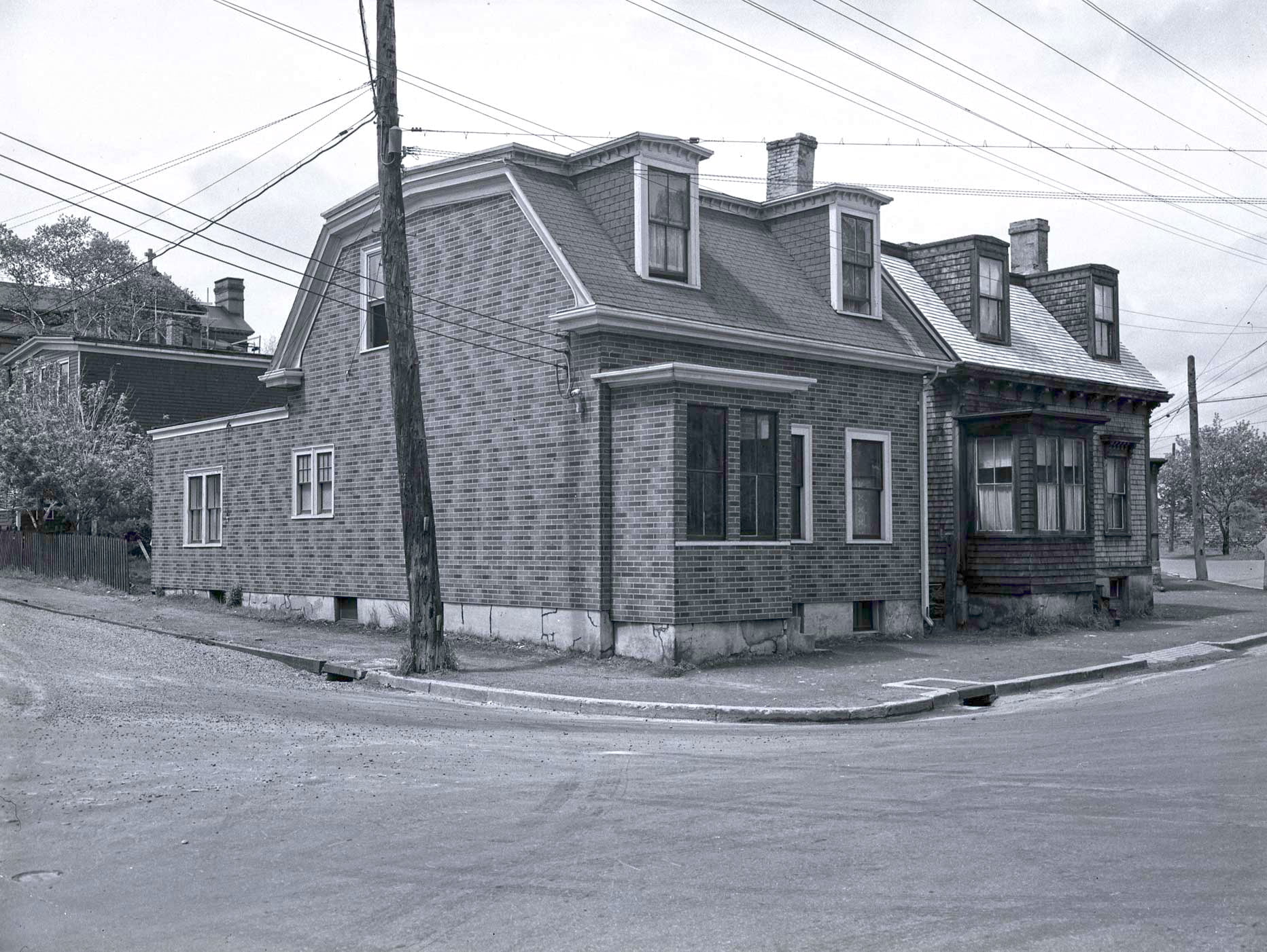
- Circular dam foot of Sullivan’s Pond, route of Shubenacadie Canal near Dartmouth “Lakeside”, later ‘‘Beechmount Apartments” and now 84 Crichton Avenue, seen directly ahead behind the circular dam, which, especially in reference to this photo from Findlay’s Pond, helps triangulate the location of this photo to somewhere near the bottom of Maple Street....
- Sullivan’s Pond, 1899 The Octagon house seen at left. You’re not likely to find a cow grazing along the shores of Sullivan’s Pond these days! “Sullivan’s Pond”, 1899. https://archives.novascotia.ca/photocollection/archives/?ID=5336 (Date erroneously listed as 1955, likely mixed up with another view of Sullivan’s Pond...
- Sullivan’s Pond, 1955 The Octagon house seen at middle right. “Sullivan’s Pond”, 1955. https://archives.novascotia.ca/photocollection/archives/?ID=5337...
- Shubenacadie Canal: Near Sullivan’s Pond, Dartmouth This picture appears to be taken near the inclined plane (the bank seen at right), between Ochterloney at left and Prince Albert Road off screen at right. The circular dam can be seen ahead, so this picture is taken further...
- Sullivan’s Pond (from the banks of Findlay’s Pond), Dartmouth This photo appears to be looking north, the opposite direction of this other photo of Sullivan’s Pond and Findlay’s Pond, but more than 20 years later on Oct 24th, 1890. The large three story house in the center of the...
- St. James Church (Canal stream and Portland Street bridge), Dartmouth “St. James Church, Dartmouth”, 1932. https://archives.novascotia.ca/photocollection/archives/?ID=5301...
- Sullivan’s Pond lithograph Mount Hope Asylum is visible at extreme left, McNabs Island and the harbor in the distance. “Bridge Street” can be seen directly ahead, across Sullivan’s Pond, which connected Ochterloney Street to the road to Preston. The long building in behind...
- Dartmouth from Mount Amelia Dartmouth and Dartmouth Cove from near the corner of what would be Blink Bonnie and Old Ferry Road today. It is dated to 1929, but it seems to be meant to represent a much earlier time, perhaps more than 60...
- Dartmouth Fire Department Reel Race “Dartmouth Fire Department Reel Race”, 1885. https://archives.novascotia.ca/connors/archives/?ID=602...
- Sullivan’s Pond Islands ...