
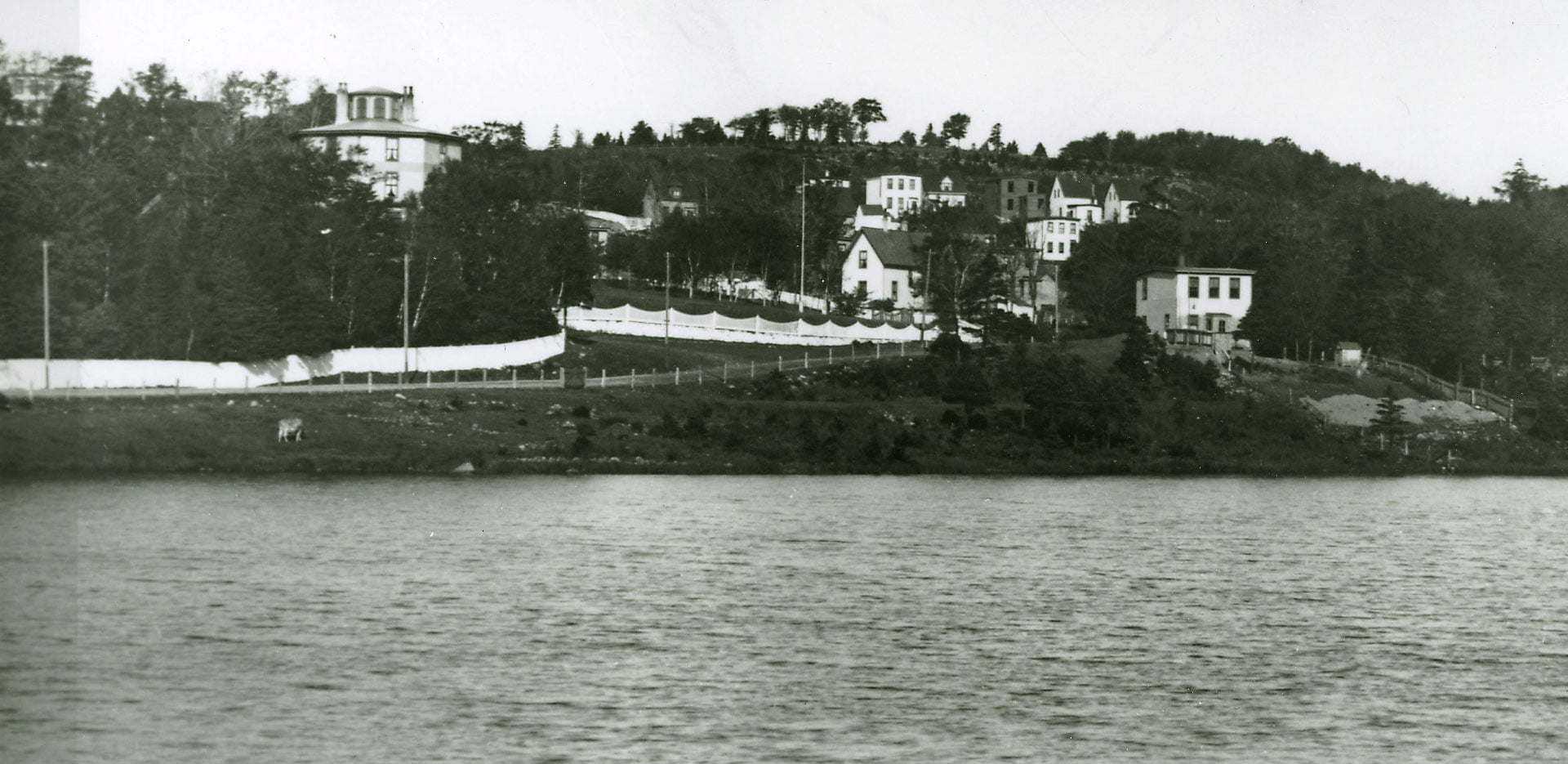
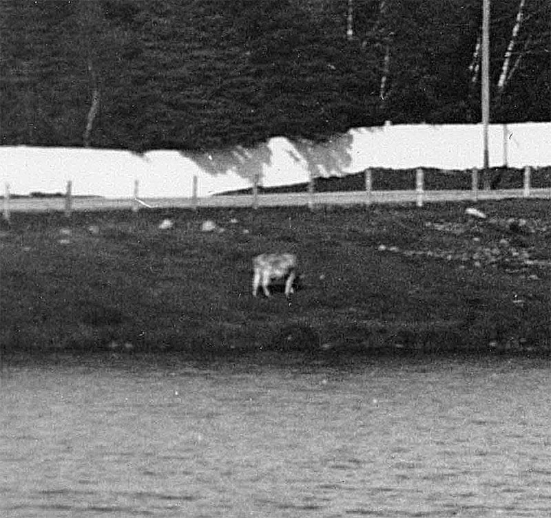
The Octagon house seen at left. You’re not likely to find a cow grazing along the shores of Sullivan’s Pond these days!
“Sullivan’s Pond”, 1899. https://archives.novascotia.ca/photocollection/archives/?ID=5336 (Date erroneously listed as 1955, likely mixed up with another view of Sullivan’s Pond here: https://archives.novascotia.ca/photocollection/archives/?ID=5337)
Related posts:
- Sullivan’s Pond, 1955 The Octagon house seen at middle right. “Sullivan’s Pond”, 1955. https://archives.novascotia.ca/photocollection/archives/?ID=5337...
- Sullivan’s Pond (from the banks of Findlay’s Pond), Dartmouth This photo appears to be looking north, the opposite direction of this other photo of Sullivan’s Pond and Findlay’s Pond, but more than 20 years later on Oct 24th, 1890. The large three story house in the center of the...
- Aerial photo of Sullivan’s Pond, Octagon House ...
- Circular dam foot of Sullivan’s Pond, route of Shubenacadie Canal near Dartmouth “Lakeside”, later ‘‘Beechmount Apartments” and now 84 Crichton Avenue, seen directly ahead behind the circular dam, which, especially in reference to this photo from Findlay’s Pond, helps triangulate the location of this photo to somewhere near the bottom of Maple Street....
- Shubenacadie Canal: Near Sullivan’s Pond, Dartmouth This picture appears to be taken near the inclined plane (the bank seen at right), between Ochterloney at left and Prince Albert Road off screen at right. The circular dam can be seen ahead, so this picture is taken further...
- Halifax Harbour from near the Narrows. Windmill on Dartmouth side the only one in the Province The Windmill seen on what is now Windmill Road, house at right perhaps Fairfield, Howe’s House, at far right is Black Rock Point, now the foot of Lyle Street. “Halifax Harbour from near the Narrows. Windmill on Dartmouth side the...
- St. James Church (Canal stream and Portland Street bridge), Dartmouth “St. James Church, Dartmouth”, 1932. https://archives.novascotia.ca/photocollection/archives/?ID=5301...
- View of Halifax from Dartmouth This is a view of Dartmouth Cove, George’s Island and Halifax which looks to be from somewhere on the hilly 200 block of Portland Street behind Linden Lea and St. George’s Lane, whose pond is seen in the foreground. Hazlehurst...
- Baronets Map Interesting seeing the crescent here, a similar symbol is seen on the Mi’kmaq Grand Council flag. “Baronets map”, (Date unknown – listed as 1600, perhaps meant to designate that it’s traced from an earlier map of 17th century origins?) https://archives.novascotia.ca/maps/archives/?ID=7...
- Aerial view of part of Dartmouth, 1931 “Aerial View: Halifax Harbour Narrows showing Dartmouth”, 1931. https://archives.novascotia.ca/photocollection/archives/?ID=5573...