
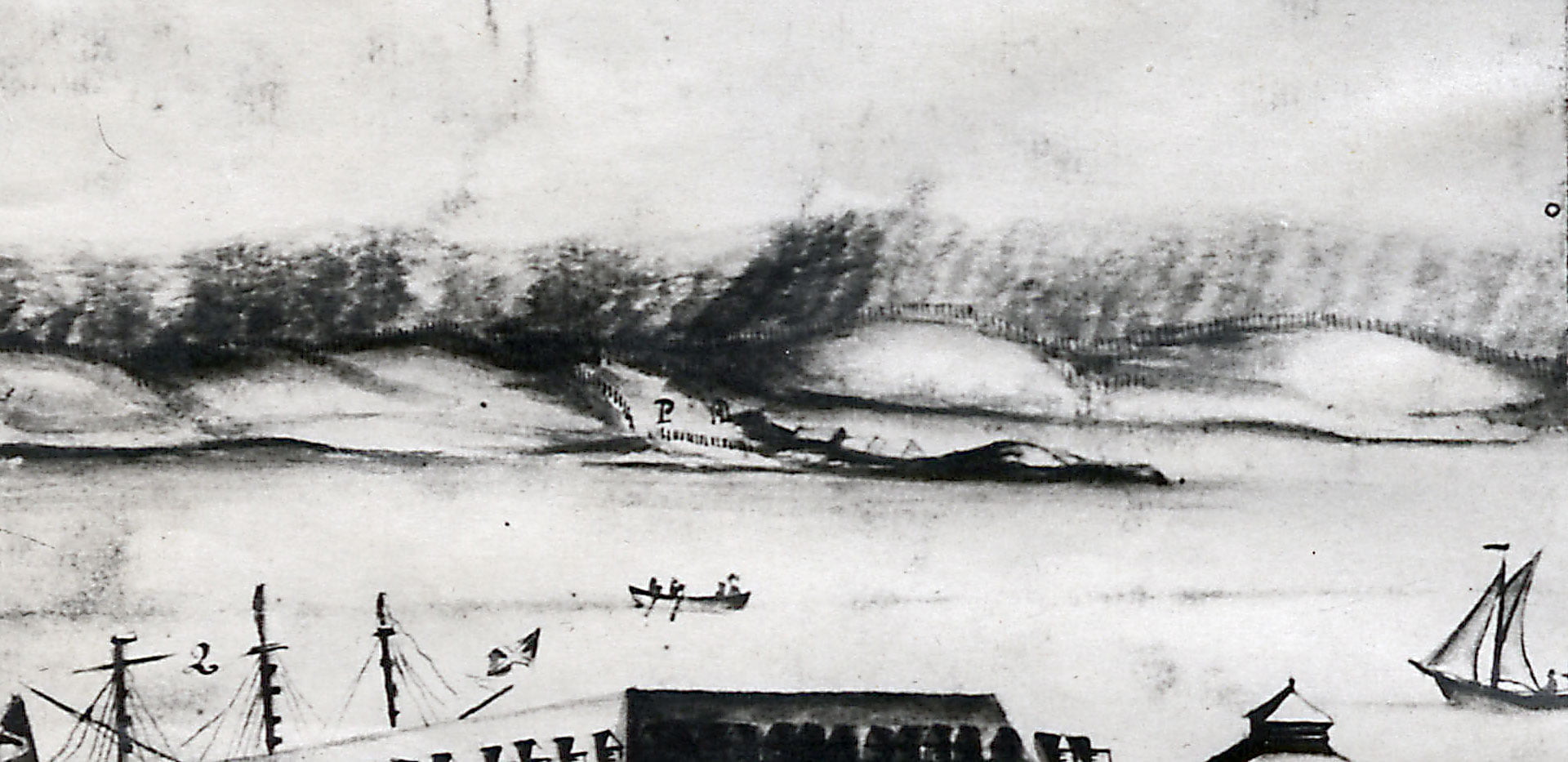

“View of His Majesty’s Dockyard, Halifax”, 1760. https://archives.novascotia.ca/maps/archives/?ID=107&Page=201320535
Related posts:
- View of Halifax (from Dartmouth), 1757 “View of Halifax”, July 1757. https://archives.novascotia.ca/maps/archives/?ID=93...
- View of Halifax from Dartmouth This is a view of Dartmouth Cove, George’s Island and Halifax which looks to be from somewhere on the hilly 200 block of Portland Street behind Linden Lea and St. George’s Lane, whose pond is seen in the foreground. Hazlehurst...
- Map of the Town of Dartmouth “Map of the Town of Dartmouth:, 1937. https://archives.novascotia.ca/maps/archives/?ID=1495...
- Peninsula of Halifax (showing Dartmouth) “Peninsula of Halifax”, 1870. https://archives.novascotia.ca/maps/archives/?ID=897...
- Halifax & Dartmouth City & Maritimes map “Halifax & Dartmouth City & Maritimes map”, 1976. https://archives.novascotia.ca/maps/archives/?ID=948...
- “Tract of land in Dartmouth, belonging to the estate of James Creighton…” “Tract of land in Dartmouth, Halifax County belonging to the estate of James Creighton, the elder and sold by his executors”, 1877. https://archives.novascotia.ca/maps/archives/?ID=962...
- Town of Dartmouth “Town of Dartmouth”, 1952. https://archives.novascotia.ca/maps/archives/?ID=1638...
- Dartmouth, N.S. “Dartmouth, N.S.”, 1959. https://archives.novascotia.ca/maps/archives/?ID=1690...
- Metropolitan Halifax Various Industrial ventures in Dartmouth are noted on this map including Imperial Oil, Acadia Sugar refinery, J.P. Mott & Co., Dartmouth Rolling Mills, Starr Manufacturing, Chebucto Marine Railway, Consumers Cordage Co., Willistons Steel Foundry and a proposed Dry dock and...
- Twin Cities Map Metropolitan Halifax-Dartmouth Many communities noted on this map: Burnside, Shannon Park, Tufts Cove, Albro Lake, Port Wallis, Tam O’Shanter, Westphal, Graham Corner, Commodore Park, Southdale, Woodlawn Woodside, Ellendale, Bel Ayr Park and Wildwood Lake within the City of Dartmouth. A few peripheral...