
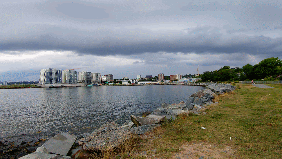
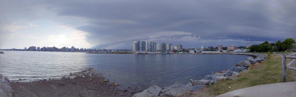
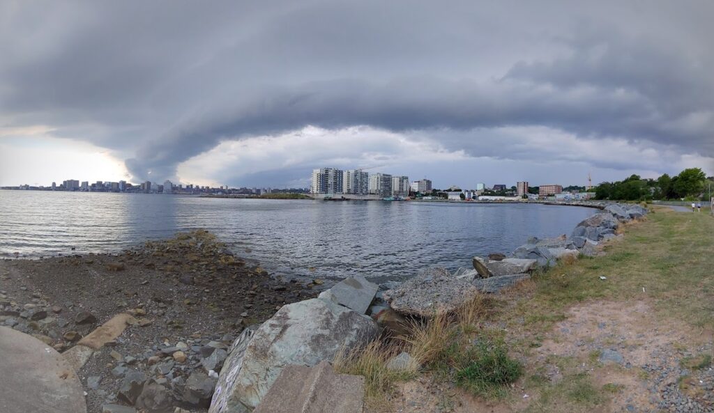
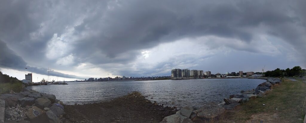
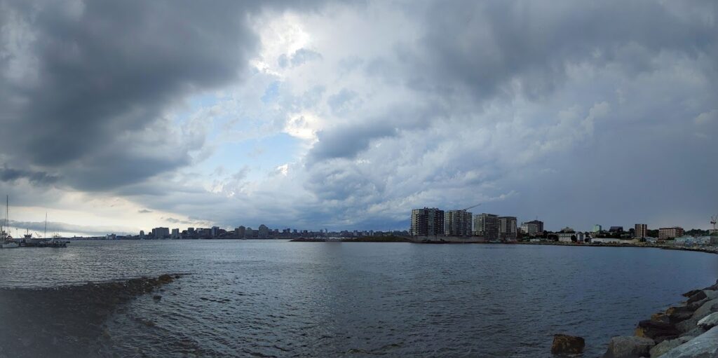
Dartmouth Cove Shelf Cloud”, 5:38pm – 5:51pm August 5th, 2022.
Related posts:
- Dartmouth Property and Owners in Vicinty of Dartmouth Cove Lake and Canal “Dartmouth Property and Owners in Vicinty of Dartmouth Cove Lake and Canal”, November 10, 1804. https://archives.novascotia.ca/maps/archives/?ID=240...
- George (sic) Island and Part of Halifax Harbour from the Dartmouth Side (Sandy Cove) A view of what used to be Sandy Cove beach, from near the bottom of what is now “Oceanview Drive” at the Dartmouth Sewage Treatment Plant. George’s Island in the distance. “George Island and Part of Halifax Harbour from the...
- Dartmouth Cove Sunset ...
- Dusk at Dartmouth Cove ...
- Dartmouth Cove Sunset Looking South ...
- Looking North at Dartmouth Cove, 1800s ...
- Looking east over Dartmouth Cove, 1800s Old grist mill next to the Canal at left, Evergreen at far left...
- View of Halifax from Dartmouth Cove Haghe, Louis. “View of Halifax from Dartmouth Cove” 1828. Lithograph, coloured with water colour, on wove paper. Laid down on cardboard https://www.torontopubliclibrary.ca/detail.jsp?Entt=RDMDC-JRR2195&R=DC-JRR2195...
- Plan showing the proposed land to be owned by the [Mi’kmaq] at Tufts Cove, Dartmouth You can see Windmill Road through the middle, its intersection with Albro Lake Road seen at bottom, Albro Lake at Wyse Road bottom middle and Victoria Road at right. In lot “A” above is noted Quarantine ground, “Present Indian Camps”...
- Sandy Cove Hesslein Family’s swimming pool at Sandy Cove, 1884. (To the south of the site of the present day sewage treatment plant, this view is looking north towards downtown Dartmouth, the grounds surrounding Evergreen at far left in the distance.)...