
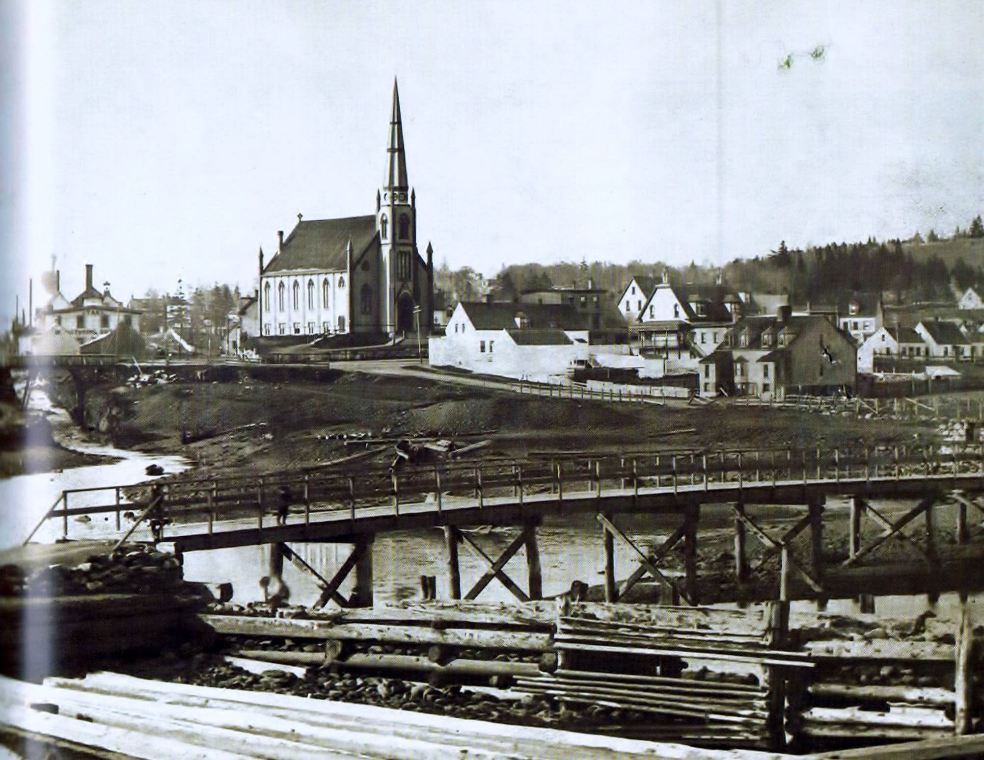
Starr Manufacturing seen at far left, in behind the Portland Street bridge.
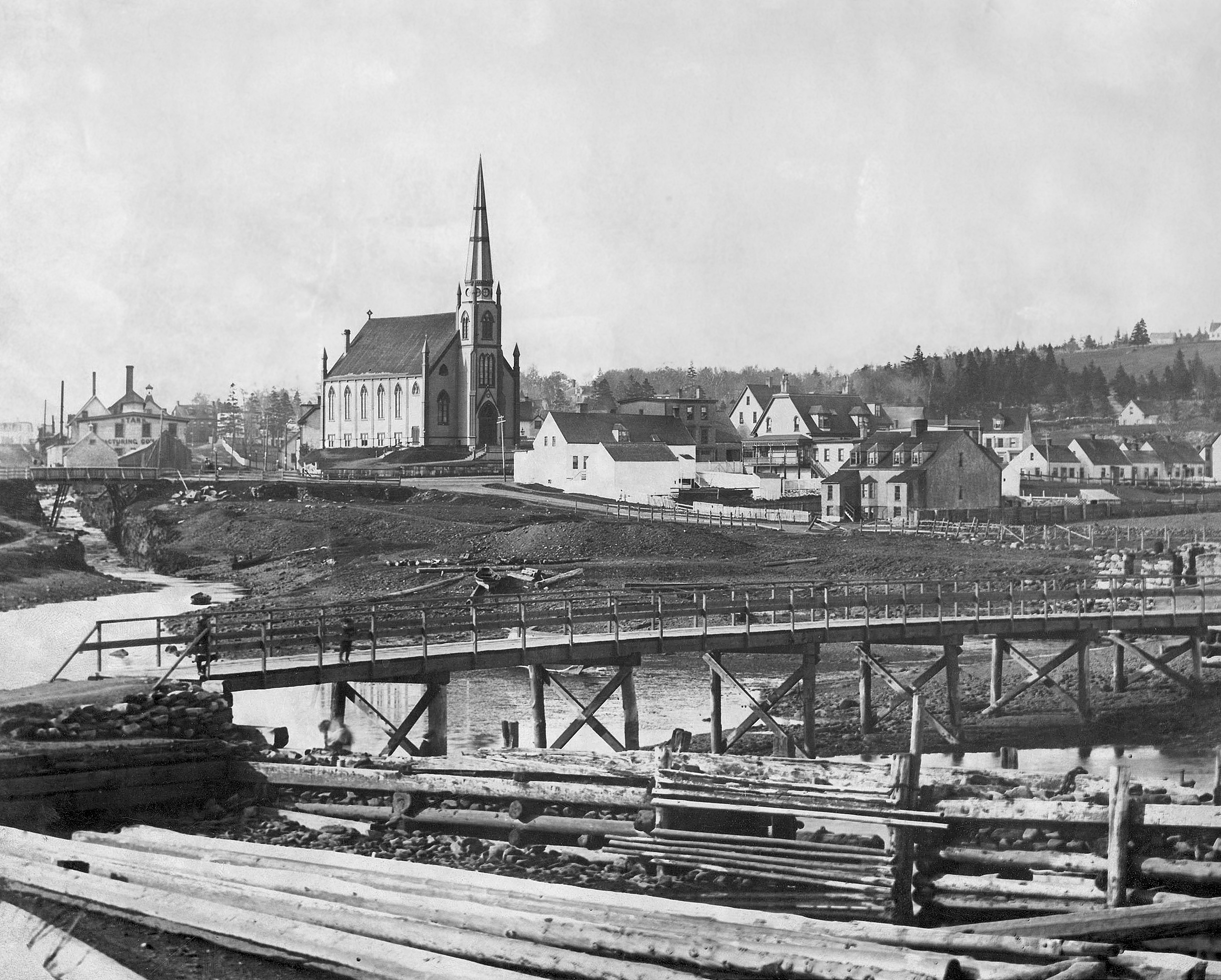
Further up the stream, by this time a stone bridge has been constructed.
Related posts:
- Part of “Five Corners”, 1866 The Bridge at bottom left crosses the Mill Stream to downtown Dartmouth, St. James Church is now found at the corner adjacent at “Lot 5”. On the left, the road “To Preston” is now Prince Albert Road (Skate Factory, being...
- Portland Street Canal Bridge, 1890s From The Story of Dartmouth, by John P. Martin: This photo will convey some idea of the labor involved in blasting out the artificial river-bed to straighten the Canal stream. The natural course of the water, which was a few...
- King Street, Canal, Dartmouth Cove 1880-1910 From The Story of Dartmouth, by John P. Martin: These pictures were taken from the foot of King Street. Top shows the ruins of Hartshorne and Tremaine’s gristmill, which stood there nearly 90 years. The front was of brick. The...
- Starr Manufacturing Looking north-east towards Prince Albert Road, inclined plane at left...
- September 14th, 1907 From The Story of Dartmouth, by John P. Martin: “This first picture was taken at the intersection of Prince Albert Road and Ochterloney Street on Saturday, September 14, 1907 (Below, as it looks in more modern times). The length of the...
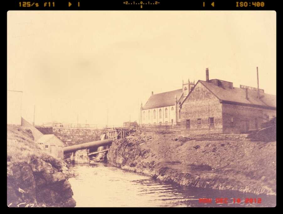
- St. James Church (Canal stream and Portland Street bridge), Dartmouth “St. James Church, Dartmouth”, 1932. https://archives.novascotia.ca/photocollection/archives/?ID=5301...
- Sullivan’s Pond lithograph Mount Hope Asylum is visible at extreme left, McNabs Island and the harbor in the distance. “Bridge Street” can be seen directly ahead, across Sullivan’s Pond, which connected Ochterloney Street to the road to Preston. The long building in behind...
- New Metropolitan Map There’s no shortage of street grid oddities on this map, post war yet pre-bridge, with two ferries crossing the harbor. Grid oddities include Broom St at the bottom of Maple St, Allison Ave and Prescott that connect Old Ferry Road...
- Dartmouth, Looking south towards mouth of harbour “From the old Crichton Manor house called “the Brae” (No. 20 Cleveland Crescent is the site). Looking south towards the mouth of the harbour over part of the 50 acre Crichton estate.” “Gate at middle left is now the corner...
- Five Corners Looking East, previous to the construction of the new Hawthorne School (now located in the empty field at middle-left) as well as the apartment building at Pleasant, Portland and Albert Street (in the bottom right). To avoid confusion, this is...