
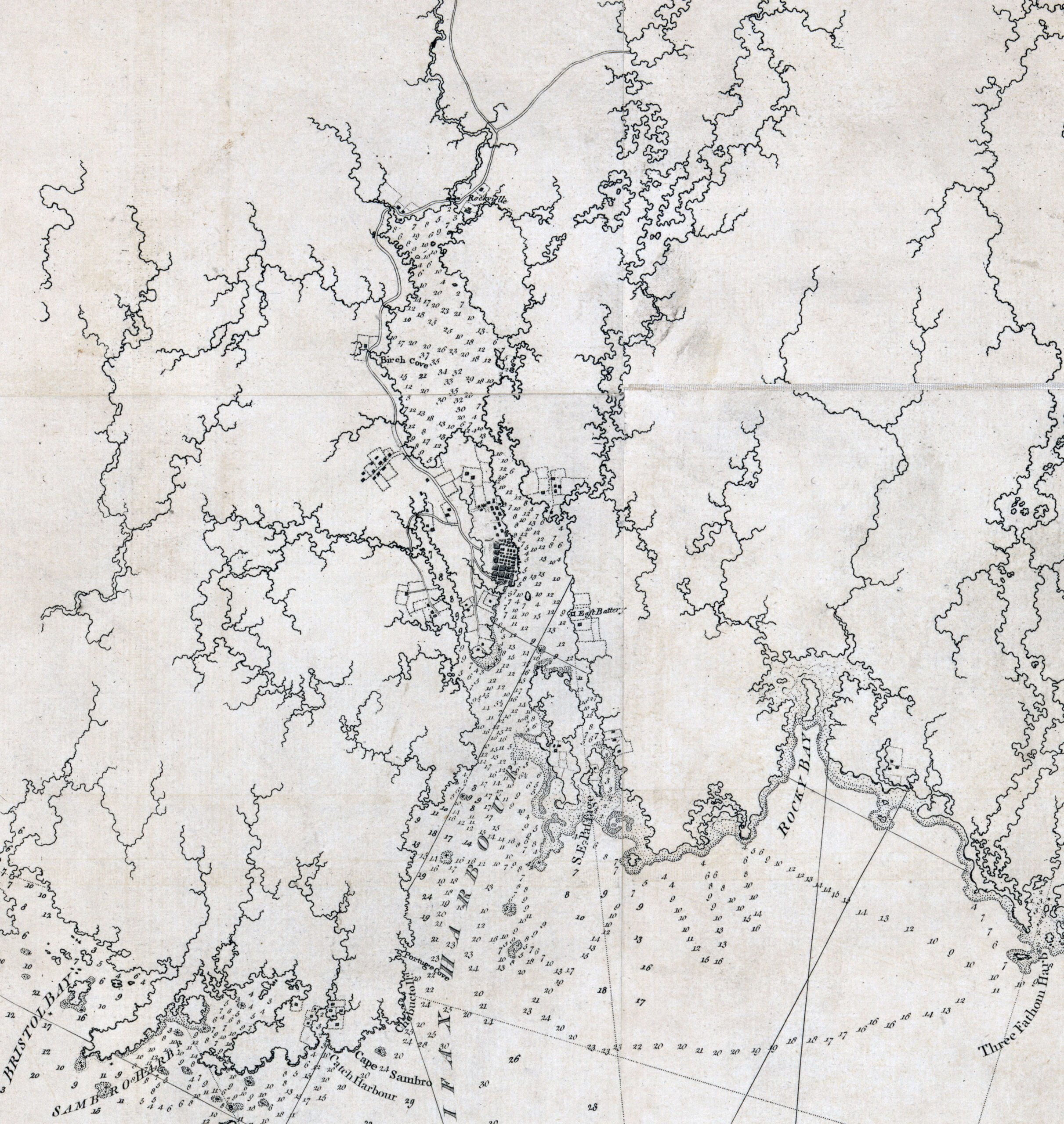
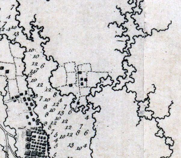
Des Barres, Joseph F. W. The sea coast of Nova Scotia; exhibiting the diversities of the coast, and the face of the country near it: the banks, rocks, shoals, soundings, &c. Together with remarks and directions for the conveniency of navigation and pilotage. [London, -78?, 1777] Map. Retrieved from the Library of Congress, <www.loc.gov/item/75332514/>.
Related posts:
- A draught of the harbour of Halifax, Sambro Islands, shoals, ledges of rocks, and soundings, also the rivers Shubenauda & Cobequid Bay Morris, Charles. A draught of the harbour of Halifax, Sambro Islands, shoals, ledges of rocks, and soundings, also the rivers Shubenauda & Cobequid Bay. [1761] Map. Retrieved from the Library of Congress, <www.loc.gov/item/74691494/>...
- A chart of the peninsula of Nova Scotia Morris, Charles. A chart of the peninsula of Nova Scotia. [1761] Map. Retrieved from the Library of Congress, <www.loc.gov/item/74691224/>...
- “Harbor of Halifax (Dartmouth Shore)” “Harbor of Halifax”, Des Barres, Joseph F. W. [1777-78?] https://www.loc.gov/resource/g3301pm.gan00021/?sp=30&r=0.1,-0.345,0.926,1.292,0...
- New England, New Scotland (Nova Scotia), and Newfoundland See also: Stirling, William Alexander, Earl Of, 1567 Or , Cartographer, and William Alexander Stirling. New England, Nova Scotia, and Newfoundland. [London: Publisher not indicated, ?, 1624] Map. Retrieved from the Library of Congress, <www.loc.gov/item/2018590035/>...
- Dartmouth Shore in the Harbour of Halifax, Nova Scotia. There’s a lot going on here. The focus for me is this view, one of the earliest views of Dartmouth, full of detail! This is the only representation I’ve ever seen of the gibbet at what used to be Hangman’s...
- To his excellency Thomas Jefferson, esqr., President of the Congress, this chart of the United States of America: including Halifax, Havannah [Havana], New Providence, and all the northern parts of the West Indies Dartmouth and Indian Town! 😎 If only there was more detail of the settlements themselves. Fascinating to me that the only inset on this map is Halifax Harbor. To me it represents Jefferson’s viewport to 45°N, reflective of his notes...
- Maps of Nova Scotia and Halifax harbor and view of lighthouse Maps of Nova Scotia and Halifax harbor and view of lighthouse. [Nova Scotia?: Producer not indicated, ?, 1840] Map. Retrieved from the Library of Congress, <www.loc.gov/item/2017585984/>...
- Catalogue of books in the Nova Scotia Legislative Council Library The collection of documents in Nova Scotia’s legislative library is much larger than what’s included here, I’ve focused particularly on those Acts, documents and papers that pertain to neighboring States. The Acts of the Legislature of Virginia, Constitution of the...
- A new and accurate map of the English empire in North America Society Of Anti-Gallicans, William Herbert, and Robert Sayer. A new and accurate map of the English empire in North America; Representing their rightful claim as confirmed by charters and the formal surrender of their Indian friends; likewise the encroachments of...
- Nova Scotia: South East Coast. Mars Head to Shut In Island “North America. Nova Scotia: South East Coast. Mars Head to Shut In Island / Surveyed by Captn. Bayfield R.N., Commr. J. Orlebar, Lieut. J. Hancock, , Mr. W. Forbes Master. and Mr. T Des Brisay Mastr. Assist. R.N. 1853”. 1865...