
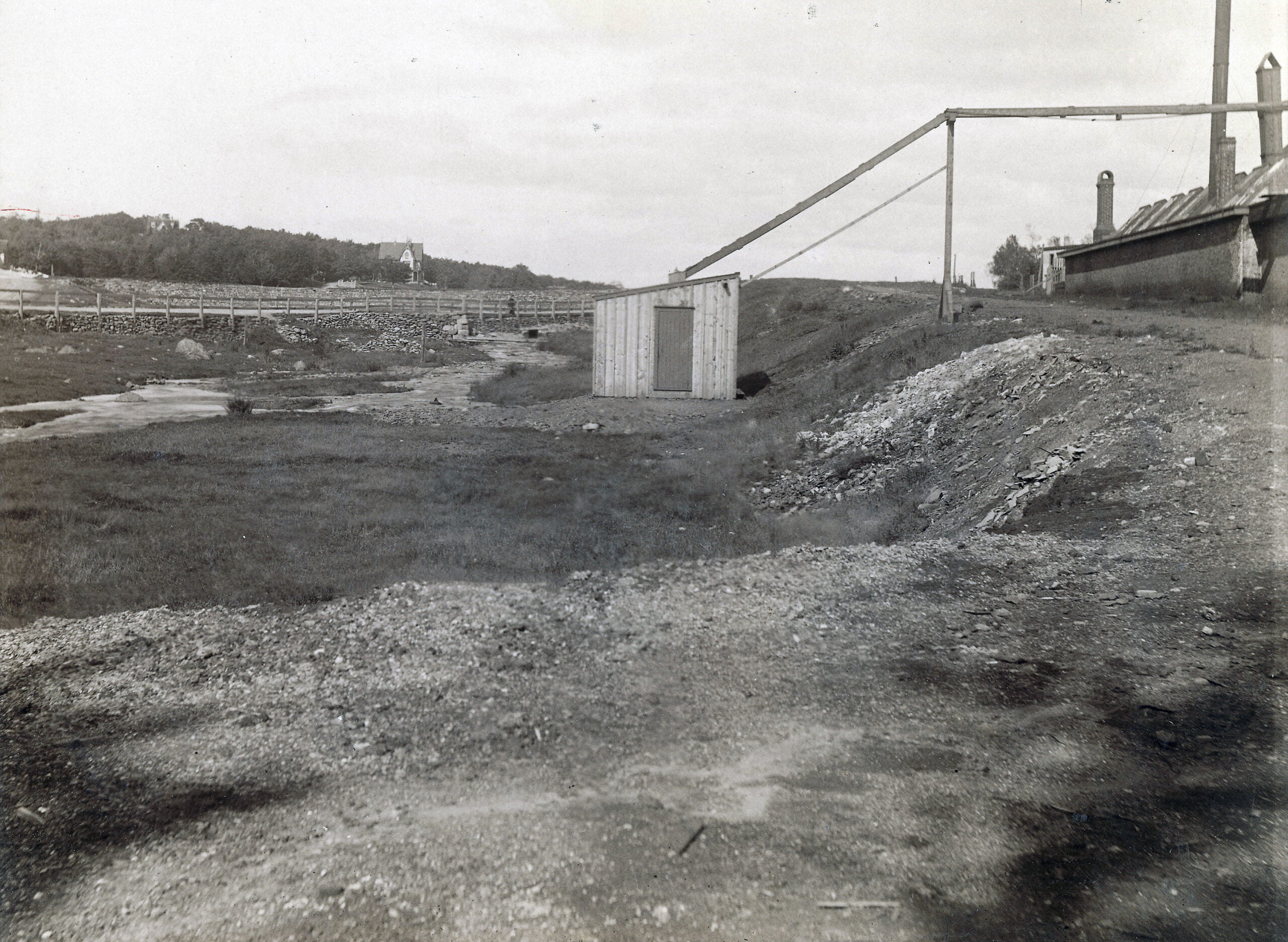
This picture appears to be taken near the inclined plane (the bank seen at right), between Ochterloney at left and Prince Albert Road off screen at right. The circular dam can be seen ahead, so this picture is taken further back from Sullivan’s Pond in comparison to this photo.
At far left you can see the entrance to Crichton Avenue as it winds around the pond.

In behind you can see the Brae as well as “Lakeside”, which later became ‘‘Beechmount Apartments”

“Shubenacadie Canal: Near Sullivan’s Pond, Dartmouth”, https://archives.novascotia.ca/photocollection/archives/?ID=9127