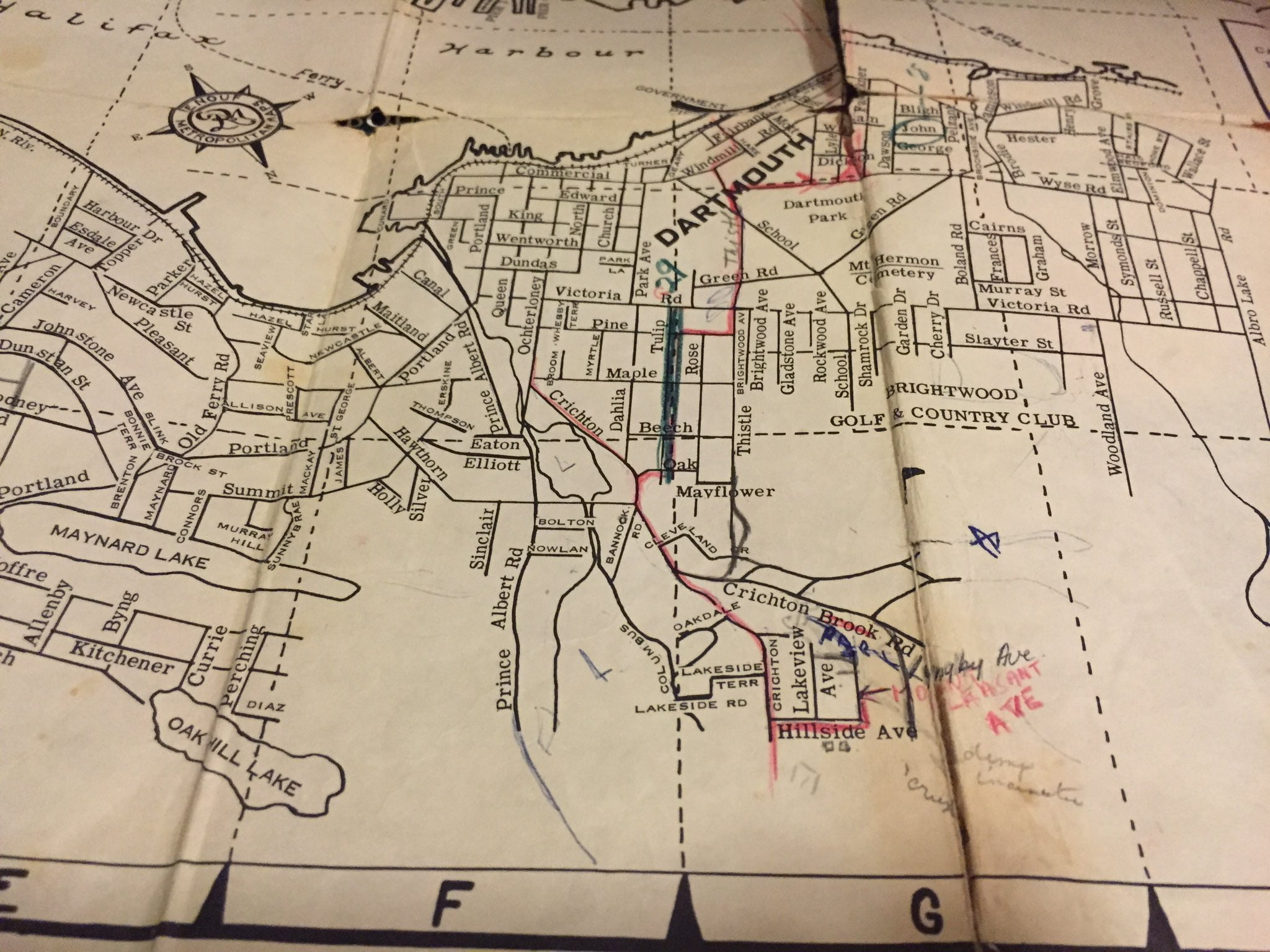
There’s no shortage of street grid oddities on this map, post war yet pre-bridge, with two ferries crossing the harbor.
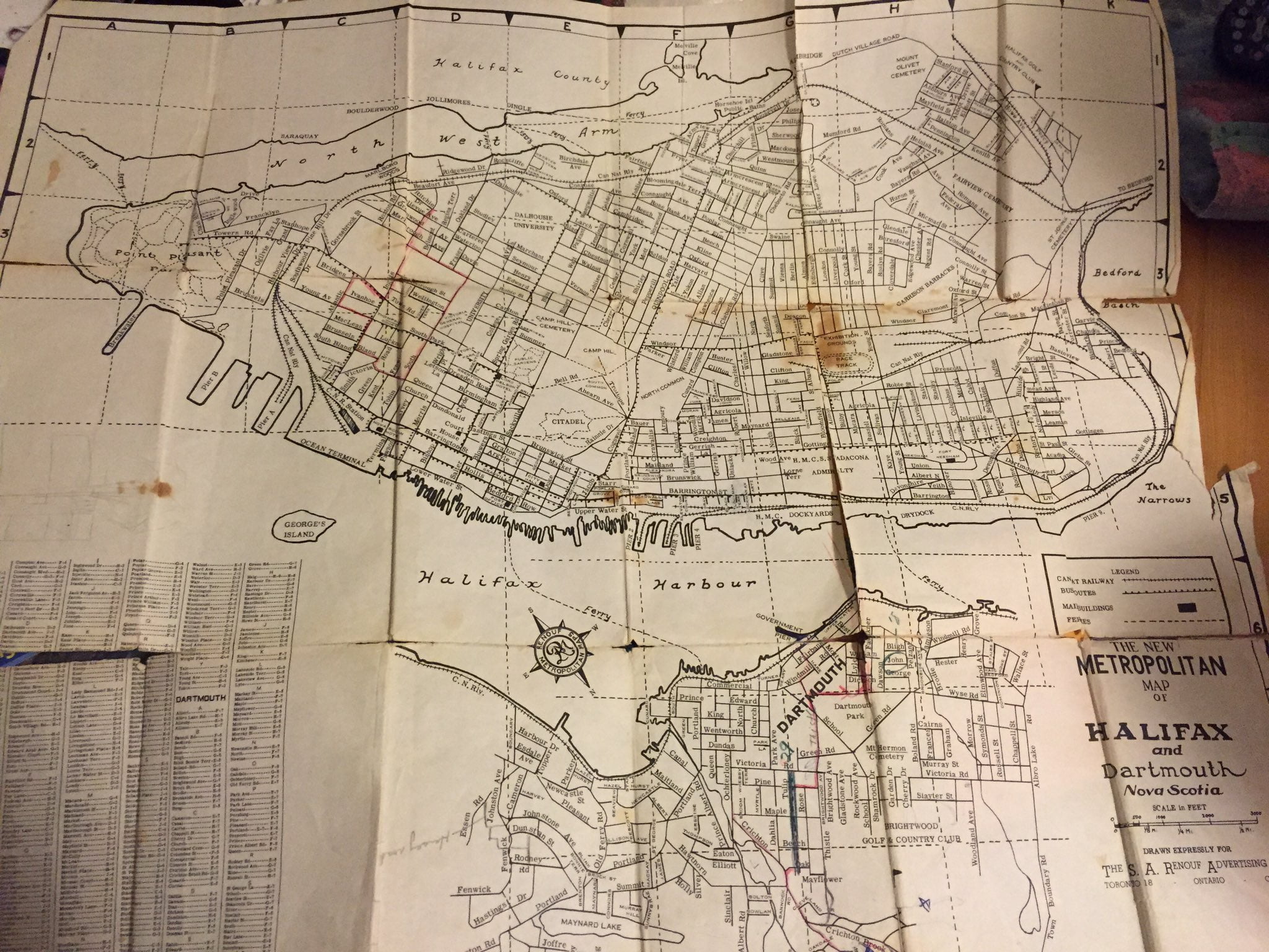
Grid oddities include Broom St at the bottom of Maple St, Allison Ave and Prescott that connect Old Ferry Road and Pleasant Street to St. George’s Lane, Seaview and Starr Lane that bisect Hazelhurst from Newcastle, Turner Street at the bottom of Park Ave, as well as Green Road seen in its full extent through the Common from Wyse Road to Victoria Road between Tulip and Rose. Chrichton Brook Road? Kitchener, Allenby, Byng, Diaz? I don’t believe any of these came to pass, as such.