
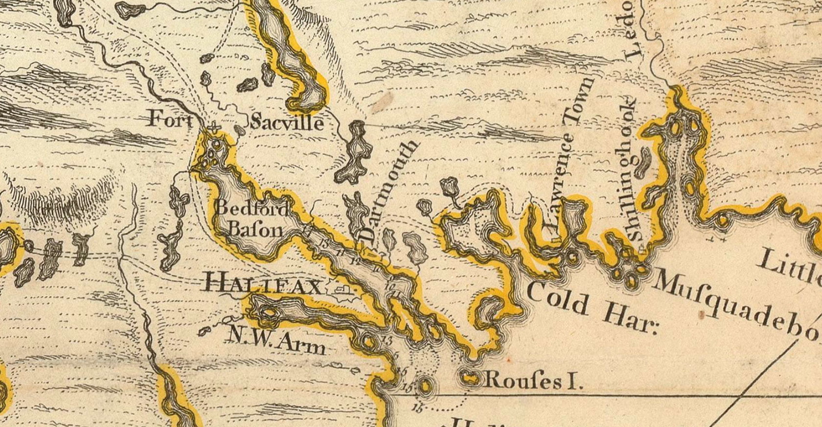
An early road map, showing Dartmouth near the bottom of Old Ferry Road, and the road to Lawrencetown.
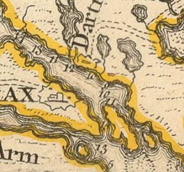
“Map of Nova Scotia, or Acadia, with the islands of Cape Breton and St. John’s”, Caldwall, James. 1768. https://gallica.bnf.fr/ark:/12148/btv1b53209890m
Related posts:
- History of Nova Scotia, Cape Breton, the Sable Islands, New Brunswick, Prince Edward Island, the Bermudas, Newfoundland, &c., &c. “The territorial distribution of the Nova Scotia government is – 1. Eastern division, 2. Middle; 3. Western; 4. Halifax; 5. Cape Breton; there are ten counties, some of which are again subdivided into districts and townships for the more convenient...
- Legislative history regarding treaties of commerce with France, Spain relating to New Foundland, Nova Scotia, and Cape Breton Harvard Law School Library. “Description Legislative history regarding treaties of commerce with France, Spain relating to New Foundland, Nova Scotia, and Cape Breton,” ca. 1715? Small Manuscript Collection, Harvard Law School Library. https://nrs.harvard.edu/urn-3:HLS.LIBR:19686447, Accessed 07 June 2021...
- Dictionary of the language of the [Mi’kmaq] who reside in Nova Scotia, New Brunswick, Prince Edward Island, Cape Breton and Newfoundland “The compiler of the following work has been more than forty years laboring as a Missionary among the [Mi’kmaq]. He considered it a matter of prime importance to make himself acquainted with their language, and early set himself to the...
- Carte réduite des costes de l’Acadie A (probably very) rough translation: “The English took possession of Chibouctou on the 19th of August 1749 and named it Halifax. It is one of the most beautiful ports in all parts of Acadia and England. It should provide great...
- “A new map of Nova Scotia, and Cape Britain: With the adjacent parts of New England and Canada” “Bay of Fundy or Argal”, “Gulf of Nova Scotia”, “Cape Britain” “A new map of Nova Scotia, and Cape Britain: With the adjacent parts of New England and Canada, composed from a great number of actual surveys” Jefferys, Thomas. [London]...
- “The general cession of Nova Scotia” 220. Mr. Delafaye to the Council of Trade and Plantations. I have laid before the Lords Justices your representation of the proper measures to be taken for the security of Carolina and Nova Scotia. Their Excys. judging that care should...
- Carte de l’Acadie “Carte de l’Acadie” 1702. https://gallica.bnf.fr/ark:/12148/btv1b53089759j...
- Canada et Acadie “Canada et Acadie e” 17?? (>1750) https://gallica.bnf.fr/ark:/12148/btv1b53089761c...
- Carte de l’Acadie “Chebouquetou”, with McNabs Island relatively easy to pick out. “Carte de l’Acadie ” 16?? (<1700) https://gallica.bnf.fr/ark:/12148/btv1b53089760x...
- Old Annapolis Road After piecing together several Crown land grant maps, you can see the path of the Old Annapolis Road much more clearly. Open the image in a new tab, to see it in more detail. Below you’ll find a few representations...