
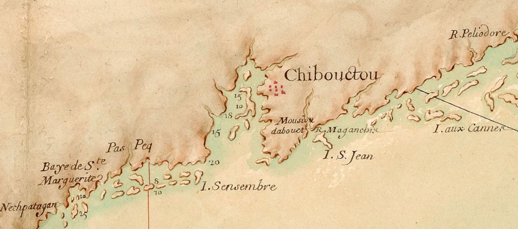
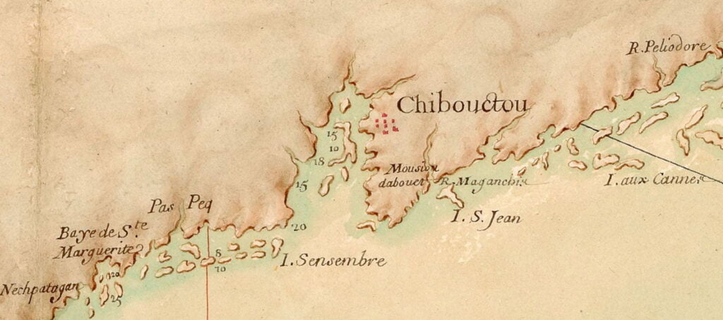
A very detailed early map of Nova Scotia from some time previous to the founding of Halifax. Chibouctou is shown on the Dartmouth side of the harbor, opposite McNabs Island and Geroge’s Island. Shubenacadie River is seen to the north of the settlement. I haven’t found any substantial confirmation that the Dartmouth side is where the settlement known as Chibouctou was actually located, but there are a number of maps (many, but not all, seem to be derivative).
More about Chibouctou:
“Carte particulière de la coste d'Accadie” 16?? (<1700) https://gallica.bnf.fr/ark:/12148/btv1b53089778x