
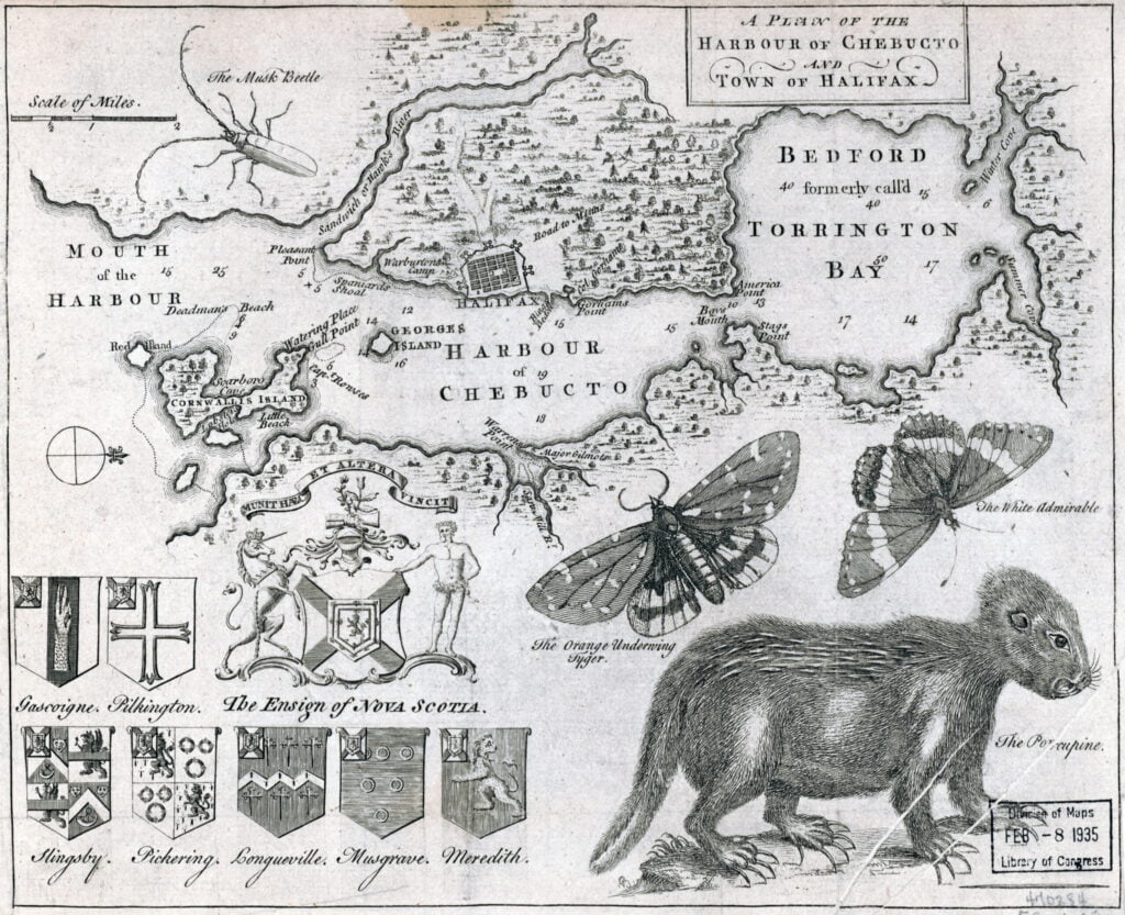
One structure is noted at “Warrens point” near where the Marine Slips were located, what is now King’s Wharf in downtown Dartmouth. “Major Gilmots”, is listed, which should be Major (Ezekiel) Gilman, whose saw mill was erected not long after Halifax’s initial settlement in 1749. Martin notes where its original location was thought to be here.
Saw Mill Brook (or river) shown as one of three streams entering Dartmouth Cove. One stream is located where the Canal stands today, perhaps the next is meant to represent the steam that used to flow down where Old Ferry Road is now, from Maynard’s lake, while the other could represent the brook that used to be near Sandy Cove. There are also reports of a stream that at one time used to traverse Maitland Street from a branch of the Shubenacadie River that split somewhere around where Elliot Street and Eaton Avenue sit today, though that would make it the Saw Mill Brook, if that’s what’s represented here.
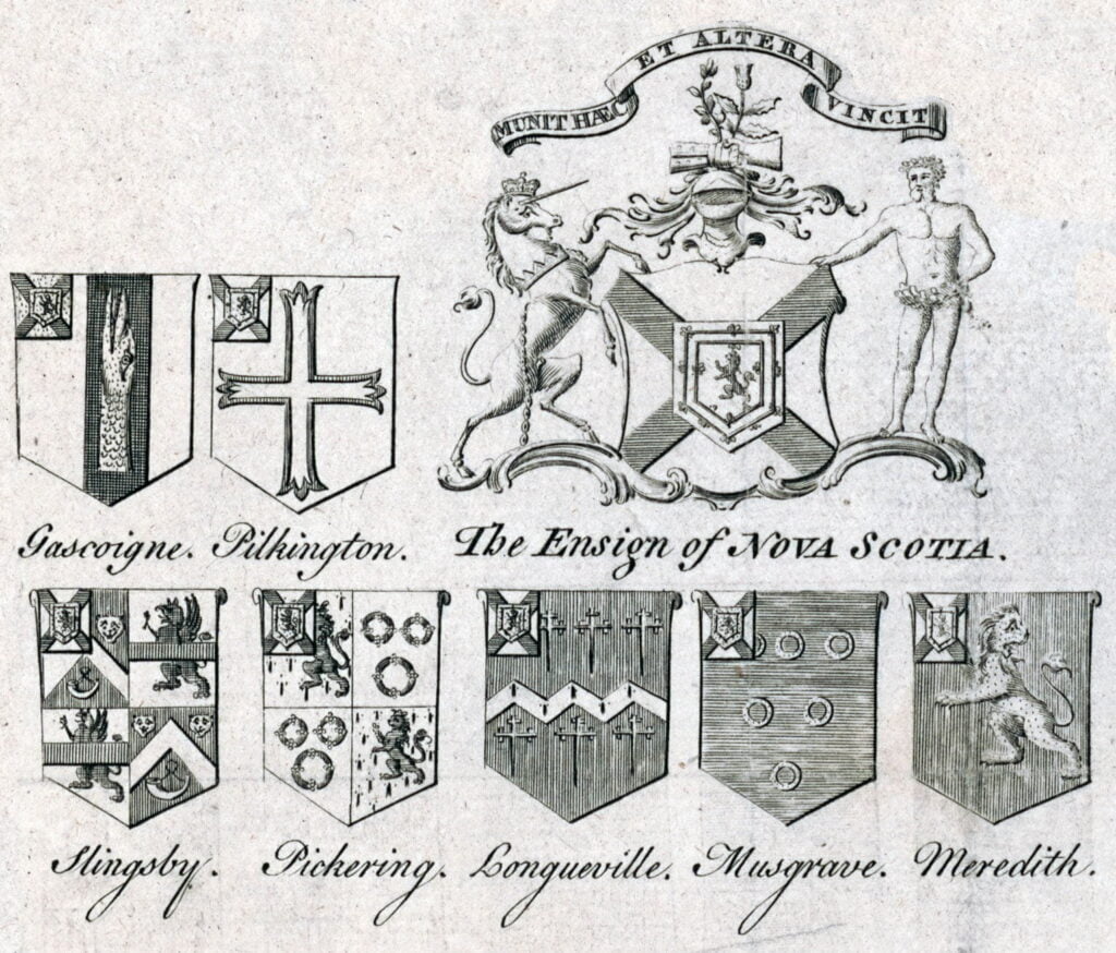
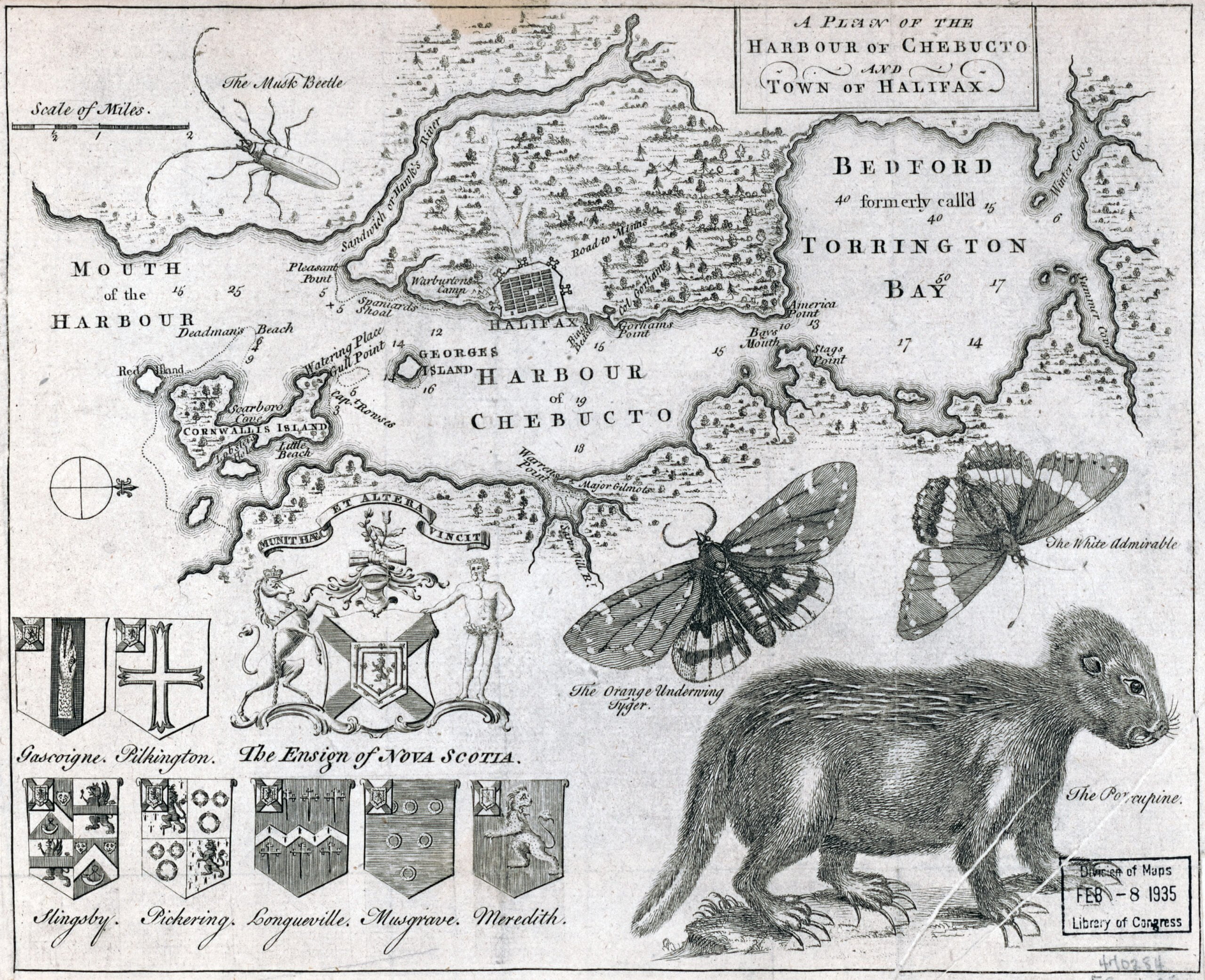
“Gascoine, Pilkington, Slingsby, Pickering, Longueville, Musgrave, Meredith”, what I assume are several of the Nova Scotian Baronets listed, or proprietors in some other fashion.
A plan of the harbour of Chebucto and town of Halifax. [London: Gentleman’s Magazine, 1750] Map. Retrieved from the Library of Congress, <www.loc.gov/item/2017585994/>, https://gallica.bnf.fr/ark:/12148/btv1b8595940z, https://archive.org/details/McGillLibrary-rbsc-maps_G3422_H3_1750_H3-17130/mode/1up