
From The Story of Dartmouth, by John P. Martin:
At Silver’s Hill, the slope no doubt originally extended down to the lake shore. Pioneer trails generally avoided lowlands. Hence this “new” road to Preston followed the broad path still seen on the hillside below Sinclair Street, until it emerged around the bend at that bay of the lake called by the Mi’kmaq “Hooganinny Cove”.
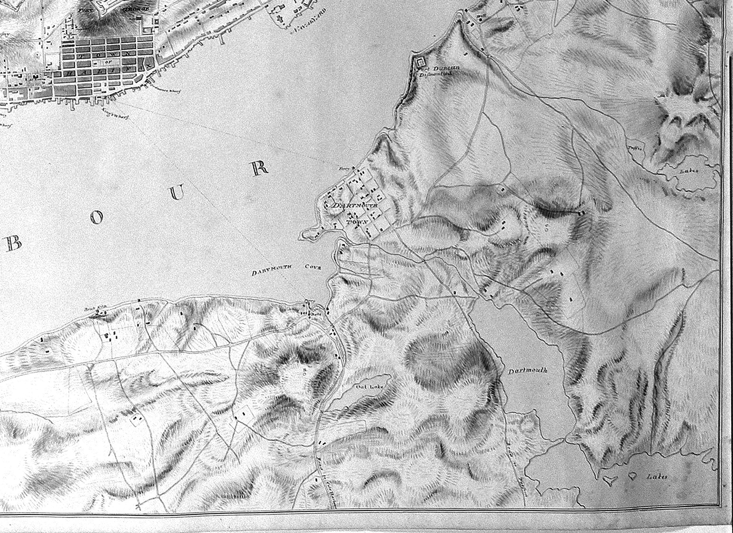
The causeway-bridge over Carter’s Pond at the town limits, was very likely built during the time of the Maroons, for the road is shown on military maps as early as 1808, indicating that this section of highway had been constructed some years previously.
In the year 1808 Mrs. Jonathan (Almy) Elliot, widow, was married to Nathaniel Russell, widower, of Russell’s Lake, who had been long bereft of all his family. Of the Russell union, one son Nathaniel was thus a half-brother to the Elliot children.
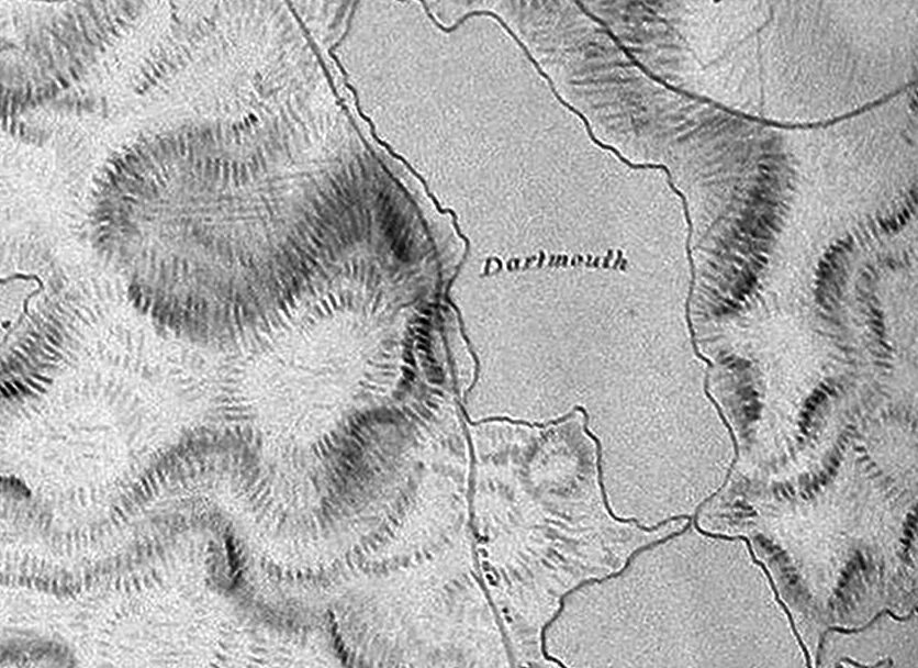
“Hooganinny Cove”, around the bend near the notation of “Dartmouth” on First Lake, as seen in 1808.